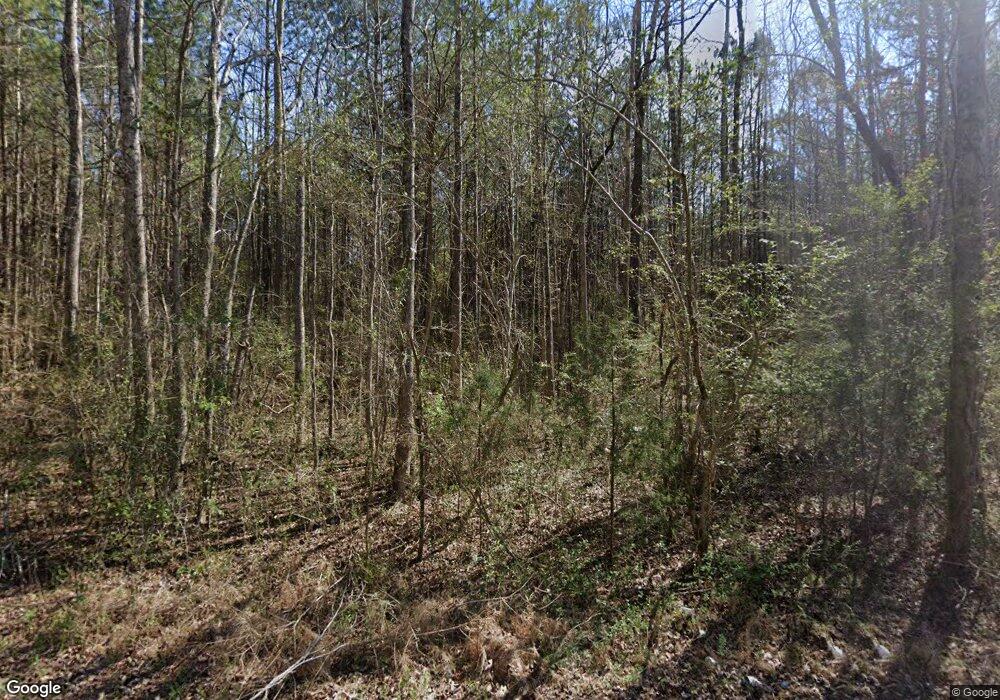
706 John Redding Rd Cedartown, GA 30125
Estimated Value: $259,000 - $440,628
2
Beds
1
Bath
1,392
Sq Ft
$239/Sq Ft
Est. Value
About This Home
This home is located at 706 John Redding Rd, Cedartown, GA 30125 and is currently estimated at $333,209, approximately $239 per square foot. 706 John Redding Rd is a home located in Polk County.
Ownership History
Date
Name
Owned For
Owner Type
Purchase Details
Closed on
Sep 20, 2024
Sold by
Smith Robert Spencer
Bought by
Smith Cathy M
Current Estimated Value
Purchase Details
Closed on
Jul 8, 2015
Sold by
Smith Robert S
Bought by
Peterson Jacqueline S
Purchase Details
Closed on
Feb 2, 1993
Sold by
Smith Christine Broc
Bought by
Smith Robert Spencer
Purchase Details
Closed on
Jan 1, 1901
Bought by
Smith Christine B
Create a Home Valuation Report for This Property
The Home Valuation Report is an in-depth analysis detailing your home's value as well as a comparison with similar homes in the area
Home Values in the Area
Average Home Value in this Area
Purchase History
| Date | Buyer | Sale Price | Title Company |
|---|---|---|---|
| Smith Cathy M | -- | -- | |
| Peterson Jacqueline S | $139,244 | -- | |
| Smith Robert Spencer | -- | -- | |
| Smith Christine B | -- | -- |
Source: Public Records
Tax History Compared to Growth
Tax History
| Year | Tax Paid | Tax Assessment Tax Assessment Total Assessment is a certain percentage of the fair market value that is determined by local assessors to be the total taxable value of land and additions on the property. | Land | Improvement |
|---|---|---|---|---|
| 2024 | $2,308 | $110,405 | $52,032 | $58,373 |
| 2023 | $2,105 | $88,699 | $52,032 | $36,667 |
| 2022 | $1,818 | $76,615 | $45,351 | $31,264 |
| 2021 | $1,842 | $76,615 | $45,351 | $31,264 |
| 2020 | $1,846 | $76,615 | $45,351 | $31,264 |
| 2019 | $1,828 | $68,083 | $45,351 | $22,732 |
| 2018 | $1,856 | $67,340 | $45,351 | $21,989 |
| 2017 | $1,832 | $67,340 | $45,351 | $21,989 |
| 2016 | $1,194 | $57,382 | $45,019 | $12,363 |
| 2015 | $1,307 | $61,422 | $48,724 | $12,699 |
| 2014 | $1,317 | $61,422 | $48,724 | $12,699 |
Source: Public Records
Map
Nearby Homes
- 148 Persons Rd
- 323 Mountain Home Rd
- 424 Michael Blvd
- 0 Mountain Home Rd Unit 1020-B 10351940
- 0 Mountain Home Rd Unit 1020-C 10351948
- 0 Mountain Home Rd Unit 1020-A 10351930
- 374 Seab Green Rd
- 383 Valley Grove Rd
- 1849 Prior Station Rd Unit 77.57 ACRES
- 1849 Prior Station Rd
- 100 Lee Ave
- 0 Cave Spring Rd Unit 10631588
- 0 Cave Spring Rd Unit 7671027
- 1200 N Cave Spring St
- 39 Summerwind Dr
- 208 Silverthorn Way
- 600 Miller Rd
- 727 Cherokee Rd
- 217 Cherokee Cir
- LOT 21 Cherokee Cir
- 706 John Redding Rd
- 515 Santa Claus Rd
- 500 Santa Claus Rd
- 321 Santa Claus Rd
- 0 Weaver Rd
- 460 Parrish Rd
- 75 Weaver Rd
- 480 Parrish Rd
- 250 Santa Claus Rd
- 298 Santa Claus Rd
- 452 Parrish Rd
- 486 John Redding Rd
- 87 Weaver Rd
- 87 Weaver Rd
- 87 Weaver Rd
- 200 Santa Claus Rd
- 76 Weaver Rd
- 432 Parrish Rd
- 520 Parrish Rd
- 215 Santa Claus Rd
