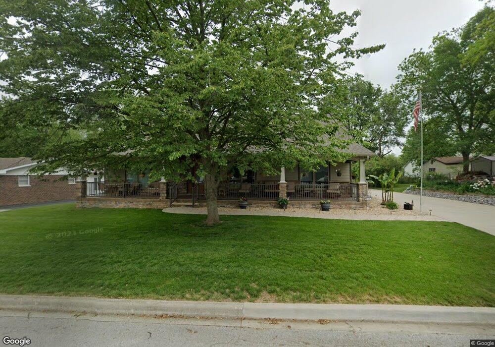
706 Kessler Rd Freeburg, IL 62243
Estimated Value: $237,000 - $262,000
--
Bed
--
Bath
1,110
Sq Ft
$225/Sq Ft
Est. Value
About This Home
This home is located at 706 Kessler Rd, Freeburg, IL 62243 and is currently estimated at $250,057, approximately $225 per square foot. 706 Kessler Rd is a home located in St. Clair County with nearby schools including Freeburg Elementary School, Freeburg Community High School, and St. Joseph Catholic School.
Ownership History
Date
Name
Owned For
Owner Type
Purchase Details
Closed on
May 18, 2018
Sold by
Forcade Duane A and Forcade Karen
Bought by
Valentine Corby G and Valentine Sharon M
Current Estimated Value
Purchase Details
Closed on
Oct 13, 2011
Sold by
Forcade Wayne G and Forcade Violet M
Bought by
Forcade Duane A and Forcade Karen
Purchase Details
Closed on
Sep 29, 2005
Sold by
Forcade Wayne G and Forcade Violet M
Bought by
Forcade Duane A
Create a Home Valuation Report for This Property
The Home Valuation Report is an in-depth analysis detailing your home's value as well as a comparison with similar homes in the area
Home Values in the Area
Average Home Value in this Area
Purchase History
| Date | Buyer | Sale Price | Title Company |
|---|---|---|---|
| Valentine Corby G | $87,500 | Attorney | |
| Forcade Duane A | -- | None Available | |
| Forcade Duane A | -- | -- |
Source: Public Records
Tax History Compared to Growth
Tax History
| Year | Tax Paid | Tax Assessment Tax Assessment Total Assessment is a certain percentage of the fair market value that is determined by local assessors to be the total taxable value of land and additions on the property. | Land | Improvement |
|---|---|---|---|---|
| 2024 | $9,050 | $108,239 | $12,650 | $95,589 |
| 2023 | $3,998 | $47,148 | $12,209 | $34,939 |
| 2022 | $3,829 | $44,179 | $11,440 | $32,739 |
| 2021 | $3,709 | $41,592 | $10,770 | $30,822 |
| 2020 | $3,535 | $37,838 | $9,798 | $28,040 |
| 2019 | $3,643 | $40,578 | $10,127 | $30,451 |
| 2018 | $3,583 | $40,041 | $9,993 | $30,048 |
| 2017 | $3,467 | $38,284 | $9,554 | $28,730 |
| 2016 | $3,386 | $36,692 | $9,157 | $27,535 |
| 2014 | $3,073 | $37,532 | $9,397 | $28,135 |
| 2013 | $2,443 | $37,197 | $9,313 | $27,884 |
Source: Public Records
Map
Nearby Homes
- 302 N Railroad St
- 312 W Phillips St
- 206 N Main St
- 420 Foxtail Dr
- 440 Foxtail Dr
- 207 N Edison St
- 433 Foxtail Dr
- 401 N Edison St
- 520 N Edison St
- 106 S Vine St
- 304 Torrington Ln
- 359 Sleeping Indian Dr
- 363 Sleeping Indian Dr
- 222 Alamosa Dr
- 227 Alamosa Dr
- 3 Park St
- 103 Draco Dr
- 0 Hickory Dr
- 109 Willow Dr
- 111 Willow Dr