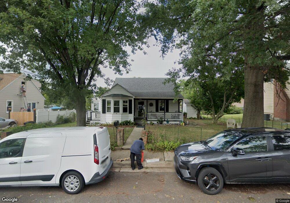
706 Linda Dr Catonsville, MD 21228
Estimated Value: $349,000 - $432,000
--
Bed
2
Baths
1,280
Sq Ft
$298/Sq Ft
Est. Value
About This Home
This home is located at 706 Linda Dr, Catonsville, MD 21228 and is currently estimated at $381,444, approximately $298 per square foot. 706 Linda Dr is a home located in Baltimore County with nearby schools including Hillcrest Elementary School, Catonsville Middle School, and Catonsville High School.
Ownership History
Date
Name
Owned For
Owner Type
Purchase Details
Closed on
Aug 20, 2025
Sold by
Swayne Estel M
Bought by
Estel M Swayne Revocable Trust
Current Estimated Value
Purchase Details
Closed on
Jun 29, 2012
Sold by
Swayne Estel M and Swayne Adam T
Bought by
Swayne Estel M
Home Financials for this Owner
Home Financials are based on the most recent Mortgage that was taken out on this home.
Original Mortgage
$72,000
Interest Rate
3.76%
Mortgage Type
New Conventional
Purchase Details
Closed on
Oct 26, 2002
Sold by
Rodney Raymond Charles
Bought by
Swayne Estel M and Swayne Adam T
Purchase Details
Closed on
Mar 17, 1982
Sold by
Schwing Anna E
Bought by
Rodney Raymond Charles
Create a Home Valuation Report for This Property
The Home Valuation Report is an in-depth analysis detailing your home's value as well as a comparison with similar homes in the area
Home Values in the Area
Average Home Value in this Area
Purchase History
| Date | Buyer | Sale Price | Title Company |
|---|---|---|---|
| Estel M Swayne Revocable Trust | -- | Art11 Title | |
| Swayne Estel M | -- | None Available | |
| Swayne Estel M | $159,900 | -- | |
| Rodney Raymond Charles | $62,000 | -- |
Source: Public Records
Mortgage History
| Date | Status | Borrower | Loan Amount |
|---|---|---|---|
| Previous Owner | Swayne Estel M | $72,000 |
Source: Public Records
Tax History Compared to Growth
Tax History
| Year | Tax Paid | Tax Assessment Tax Assessment Total Assessment is a certain percentage of the fair market value that is determined by local assessors to be the total taxable value of land and additions on the property. | Land | Improvement |
|---|---|---|---|---|
| 2025 | $1,037 | $316,100 | -- | -- |
| 2024 | $1,037 | $298,700 | $90,600 | $208,100 |
| 2023 | $1,401 | $287,233 | $0 | $0 |
| 2022 | $666 | $275,767 | $0 | $0 |
| 2021 | $2,962 | $264,300 | $90,600 | $173,700 |
| 2020 | $2,962 | $254,600 | $0 | $0 |
| 2019 | $2,854 | $244,900 | $0 | $0 |
| 2018 | $2,760 | $235,200 | $75,600 | $159,600 |
| 2017 | $2,552 | $223,967 | $0 | $0 |
| 2016 | $2,059 | $212,733 | $0 | $0 |
| 2015 | $2,059 | $201,500 | $0 | $0 |
| 2014 | $2,059 | $201,500 | $0 | $0 |
Source: Public Records
Map
Nearby Homes
- 429 Lafayette Ave
- 518 Ingleside Ave
- 509 Valcour Rd
- 905 Woodsdale Rd
- 514 Kent Ave
- 133 Wesley Ave
- 3 Arthur Ave
- 42 Winters Ln
- 38A Winters Ln
- 172 Winters Ln
- 0 Melvin Ave
- 177 Winters Ln
- 27 Glenwood Ave
- 201 Suter Rd
- 206 Winters Ln
- 14 Glenwood Ave
- 5926 Old Frederick Rd
- 6142 Regent Park Rd
- 312 Small Ct
- 19 Somerset Rd