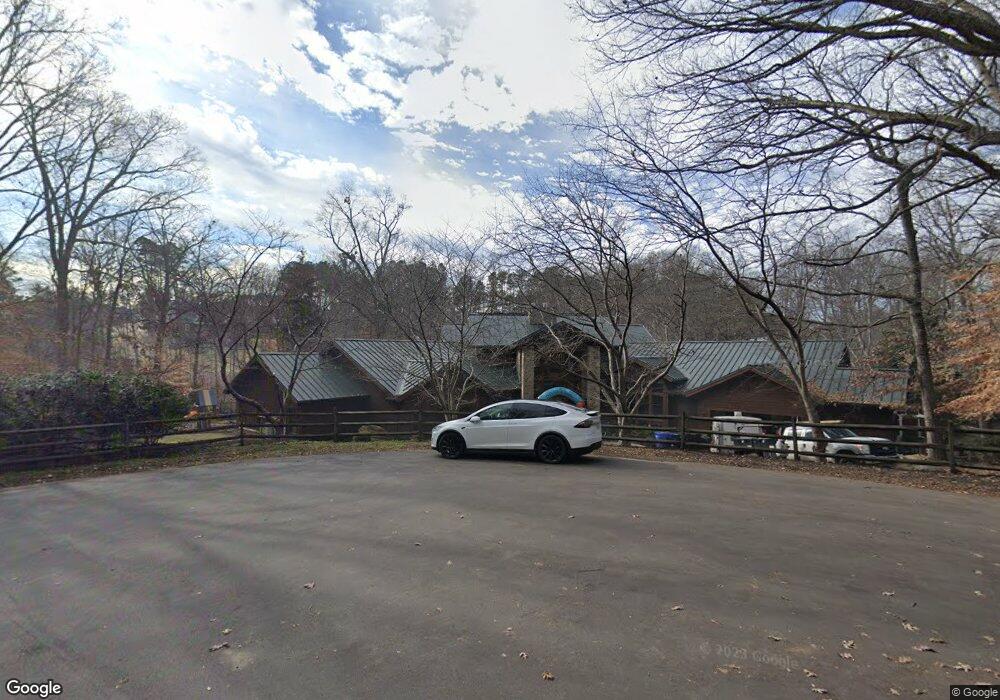
706 Normandy Rd Mooresville, NC 28117
Estimated Value: $924,000 - $2,573,979
6
Beds
4
Baths
10,706
Sq Ft
$186/Sq Ft
Est. Value
About This Home
This home is located at 706 Normandy Rd, Mooresville, NC 28117 and is currently estimated at $1,996,326, approximately $186 per square foot. 706 Normandy Rd is a home located in Iredell County with nearby schools including Lakeshore Elementary School, Lakeshore Middle School, and Lake Norman High School.
Ownership History
Date
Name
Owned For
Owner Type
Purchase Details
Closed on
May 23, 2023
Sold by
Fals Corral Llc
Bought by
Lee Francis A
Current Estimated Value
Purchase Details
Closed on
Sep 14, 2007
Sold by
Scholl Julie G
Bought by
Lee Frank A
Purchase Details
Closed on
Sep 8, 2005
Sold by
Guild Curtis A
Bought by
Scholl Julie G
Home Financials for this Owner
Home Financials are based on the most recent Mortgage that was taken out on this home.
Original Mortgage
$359,650
Interest Rate
5.71%
Mortgage Type
Fannie Mae Freddie Mac
Purchase Details
Closed on
Aug 1, 1991
Create a Home Valuation Report for This Property
The Home Valuation Report is an in-depth analysis detailing your home's value as well as a comparison with similar homes in the area
Home Values in the Area
Average Home Value in this Area
Purchase History
| Date | Buyer | Sale Price | Title Company |
|---|---|---|---|
| Lee Francis A | -- | None Listed On Document | |
| Lee Frank A | $900,000 | None Available | |
| Scholl Julie G | $568,500 | -- | |
| -- | $111,000 | -- |
Source: Public Records
Mortgage History
| Date | Status | Borrower | Loan Amount |
|---|---|---|---|
| Previous Owner | Scholl Julie G | $359,650 |
Source: Public Records
Tax History Compared to Growth
Tax History
| Year | Tax Paid | Tax Assessment Tax Assessment Total Assessment is a certain percentage of the fair market value that is determined by local assessors to be the total taxable value of land and additions on the property. | Land | Improvement |
|---|---|---|---|---|
| 2024 | $16,185 | $2,570,380 | $450,000 | $2,120,380 |
| 2023 | $15,225 | $2,570,380 | $450,000 | $2,120,380 |
| 2022 | $10,536 | $1,670,060 | $227,500 | $1,442,560 |
| 2021 | $10,536 | $1,670,060 | $227,500 | $1,442,560 |
| 2020 | $10,536 | $1,670,060 | $227,500 | $1,442,560 |
| 2019 | $10,035 | $1,670,060 | $227,500 | $1,442,560 |
| 2018 | $8,458 | $1,406,870 | $210,000 | $1,196,870 |
| 2017 | $8,458 | $1,406,870 | $210,000 | $1,196,870 |
| 2016 | $8,458 | $1,406,870 | $210,000 | $1,196,870 |
| 2015 | $8,458 | $1,406,870 | $210,000 | $1,196,870 |
| 2014 | -- | $1,464,290 | $210,000 | $1,254,290 |
Source: Public Records
Map
Nearby Homes
- 480 Robinson Rd
- 255 Robinson Rd
- 127 Melrose Ln
- 140 Rustic Way Ln
- 578 Normandy Rd
- 390 Robinson Rd
- Lot 3 Rutan Ct Unit 3
- 00 Rutan Ct
- 157 Normandy Rd
- 882 & 890 River Hwy
- 163 Mccrary Rd
- 128 Audrey Ln
- 187 Mccrary Rd
- 182 Broadview Cir
- 150 Rustling Waters Dr
- 105 Rustling Waters Dr
- 115 Rustling Waters Dr
- 127 Rustling Waters Dr
- 131 Rustling Waters Dr
- 135 Rustling Waters Dr
- 709 Normandy Rd
- 491 Robinson Rd
- 697 Normandy Rd
- 703 Normandy Rd
- 703 Normandy Rd Unit 3
- 117 Hillside Cove Ct Unit 13
- 690 Normandy Rd
- 690 Normandy Rd Unit NULL
- 693 Normandy Rd
- Lot 1 Robinson Rd Unit 1
- 142 Robinson Ridge Dr
- 485 Robinson Rd
- 118 Hillside Cove Ct
- 687 Normandy Rd
- 486 Robinson Rd
- 684 Normandy Rd
- 116 Hillside Cove Ct
- 115 Hillside Cove Ct Unit 14
- 645 Normandy Rd
- 479 Robinson Rd