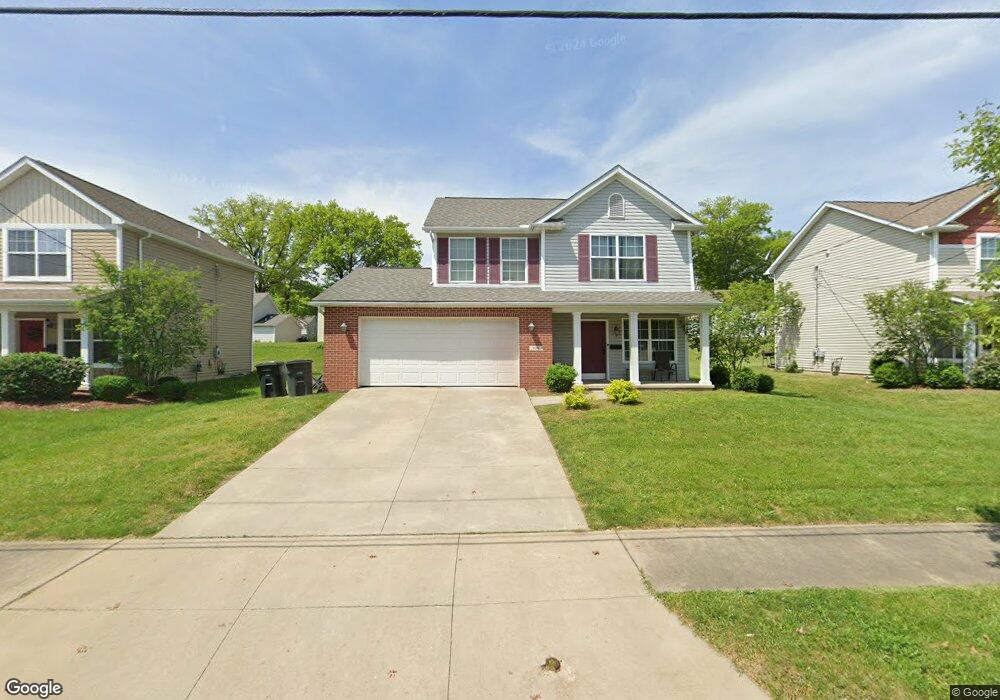
706 Raymond St Akron, OH 44307
Sherbondy Hill NeighborhoodEstimated Value: $77,000 - $138,600
4
Beds
2
Baths
1,522
Sq Ft
$63/Sq Ft
Est. Value
About This Home
This home is located at 706 Raymond St, Akron, OH 44307 and is currently estimated at $95,650, approximately $62 per square foot. 706 Raymond St is a home with nearby schools including St. Vincent Elementary School and St. Bernard-St. Mary Elementary School.
Ownership History
Date
Name
Owned For
Owner Type
Purchase Details
Closed on
Oct 3, 2008
Sold by
Stillwater Asset Back Fund Ltd
Bought by
City Of Akron
Current Estimated Value
Purchase Details
Closed on
Jul 22, 2005
Sold by
Pooler Jonathan
Bought by
Stillwater Asset Backed Fund Ltd
Purchase Details
Closed on
Jul 22, 2004
Sold by
Clay Elizabeth
Bought by
Pooler Jonathan
Home Financials for this Owner
Home Financials are based on the most recent Mortgage that was taken out on this home.
Original Mortgage
$56,000
Interest Rate
6.42%
Mortgage Type
Purchase Money Mortgage
Create a Home Valuation Report for This Property
The Home Valuation Report is an in-depth analysis detailing your home's value as well as a comparison with similar homes in the area
Home Values in the Area
Average Home Value in this Area
Purchase History
| Date | Buyer | Sale Price | Title Company |
|---|---|---|---|
| City Of Akron | -- | Minnesota Title | |
| Stillwater Asset Backed Fund Ltd | -- | Buckeye Reserve Title Agency | |
| Pooler Jonathan | $12,000 | -- |
Source: Public Records
Mortgage History
| Date | Status | Borrower | Loan Amount |
|---|---|---|---|
| Previous Owner | Pooler Jonathan | $56,000 |
Source: Public Records
Tax History Compared to Growth
Tax History
| Year | Tax Paid | Tax Assessment Tax Assessment Total Assessment is a certain percentage of the fair market value that is determined by local assessors to be the total taxable value of land and additions on the property. | Land | Improvement |
|---|---|---|---|---|
| 2025 | $607 | $8,950 | $5,131 | $3,819 |
| 2024 | $607 | $8,950 | $5,131 | $3,819 |
| 2023 | $607 | $8,950 | $5,131 | $3,819 |
| 2022 | $989 | $12,754 | $3,017 | $9,737 |
| 2021 | $990 | $12,754 | $3,017 | $9,737 |
| 2020 | $977 | $12,760 | $3,020 | $9,740 |
| 2019 | $1,227 | $15,030 | $3,490 | $11,540 |
| 2018 | $1,212 | $15,030 | $3,490 | $11,540 |
| 2017 | $2,118 | $26,650 | $3,490 | $23,160 |
| 2016 | $2,120 | $27,240 | $3,490 | $23,750 |
| 2015 | $2,118 | $27,240 | $3,490 | $23,750 |
| 2014 | $2,102 | $27,240 | $3,490 | $23,750 |
| 2013 | $1,641 | $21,310 | $3,490 | $17,820 |
Source: Public Records
Map
Nearby Homes
- 817 Raymond St
- 639 Bellevue Ave
- 650 Easter Ave
- 670 Euclid Ave
- 577 Rhodes Ave
- 677 Vernon Odom Blvd
- 385 Campbell St
- 949 Raymond St
- 483 Bishop St
- 737 Vernon Odom Blvd
- 644 Diagonal Rd
- 263 Millcreek Dr Unit 263
- 568 Auld Farm Cir
- 1132 Bristol Terrace
- 593 Hoye Ave
- 605 East Ave
- 524 Auld Farm Cir
- 614 East Ave
- 776 Krause Ct
- 985 Diana Ave
- 700 Raymond St
- 708 Raymond St
- 704 Raymond St
- 712 Raymond St
- 696 Raymond St
- 716 Raymond St
- 718 Raymond St
- 694 Raymond St
- 692 Raymond St
- 720 Raymond St
- 691 Mallison Ave
- 686 Raymond St
- 693 Mallison Ave
- 681 Mallison Ave
- 724 Raymond St
- 697 Mallison Ave
- 675 Mallison Ave
- 684 Raymond St
- 683 Mallison Ave
- 701 Mallison Ave