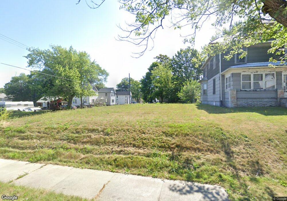
706 S Linden Ave Alliance, OH 44601
Estimated Value: $60,000 - $135,000
4
Beds
2
Baths
1,840
Sq Ft
$53/Sq Ft
Est. Value
About This Home
This home is located at 706 S Linden Ave, Alliance, OH 44601 and is currently estimated at $98,000, approximately $53 per square foot. 706 S Linden Ave is a home located in Stark County with nearby schools including Alliance Intermediate School at Northside, Alliance Elementary School at Rockhill, and Alliance Middle School.
Ownership History
Date
Name
Owned For
Owner Type
Purchase Details
Closed on
Sep 18, 2023
Sold by
Stark County Land Reutilization Corporat
Bought by
City Of Alliance Land Reutilization Program
Current Estimated Value
Purchase Details
Closed on
Mar 30, 2017
Sold by
Cobert Darnell L
Bought by
Stark County Land Reutilization Corporat
Purchase Details
Closed on
Feb 5, 1988
Create a Home Valuation Report for This Property
The Home Valuation Report is an in-depth analysis detailing your home's value as well as a comparison with similar homes in the area
Home Values in the Area
Average Home Value in this Area
Purchase History
| Date | Buyer | Sale Price | Title Company |
|---|---|---|---|
| City Of Alliance Land Reutilization Program | -- | None Listed On Document | |
| Stark County Land Reutilization Corporat | -- | None Available | |
| -- | $12,000 | -- |
Source: Public Records
Tax History Compared to Growth
Tax History
| Year | Tax Paid | Tax Assessment Tax Assessment Total Assessment is a certain percentage of the fair market value that is determined by local assessors to be the total taxable value of land and additions on the property. | Land | Improvement |
|---|---|---|---|---|
| 2025 | $85 | $2,000 | $2,000 | -- |
| 2024 | -- | $2,000 | $2,000 | -- |
| 2023 | $0 | $880 | $880 | $0 |
| 2022 | $286 | $880 | $880 | $0 |
| 2021 | $286 | $880 | $880 | $0 |
| 2020 | -- | $880 | $880 | $0 |
| 2019 | $150 | $880 | $880 | $0 |
| 2018 | $0 | $880 | $880 | $0 |
| 2017 | $0 | $6,130 | $1,510 | $4,620 |
| 2016 | $0 | $6,130 | $1,510 | $4,620 |
| 2015 | $286 | $6,130 | $1,510 | $4,620 |
| 2014 | $242 | $5,190 | $1,440 | $3,750 |
| 2013 | $121 | $5,190 | $1,440 | $3,750 |
Source: Public Records
Map
Nearby Homes
- 452 E Summit St
- 1005 S Freedom Ave
- 432 S Linden Ave
- V/L S Fredeom Ave
- 442 S Liberty Ave
- 1044 S Liberty Ave
- 1175 S Freedom Ave
- 814 Milner St
- 356 E Broadway St
- 807 S Union Ave
- 831 Wade Ave
- 551 South St
- 427 S Union Ave
- 140 W Summit St
- 361 E Main St
- 1437 S Linden Ave
- 1395 S Webb Ave
- 729 Waugh St
- 1475 Chatauqua Ct
- 1233 Woodland Ave
- 724 S Linden Ave
- 688 S Linden Ave
- 701 S Linden Ave
- 443 E Summit St
- 676 S Linden Ave
- 441 E Summit St
- 430 E Summit St
- 436 E Summit St
- 716 S Linden Ave
- 716 S Linden Ave
- 713 S Linden Ave
- 738 S Linden Ave
- 725 S Linden Ave
- 335 E Summit St
- 666 S Linden Ave
- 739 S Linden Ave
- 440 E Summit St
- 425 Mcnally Ct
- 750 S Linden Ave
- 435 Mcnally Ct