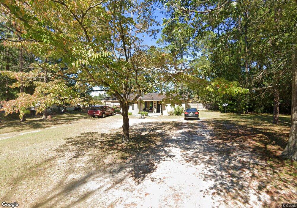
706 Spratt St Waycross, GA 31501
Estimated Value: $109,000 - $150,000
3
Beds
1
Bath
1,136
Sq Ft
$108/Sq Ft
Est. Value
About This Home
This home is located at 706 Spratt St, Waycross, GA 31501 and is currently estimated at $122,992, approximately $108 per square foot. 706 Spratt St is a home located in Ware County with nearby schools including Center Elementary School, Waycross Middle School, and Ware County High School.
Ownership History
Date
Name
Owned For
Owner Type
Purchase Details
Closed on
May 23, 2025
Sold by
Jacobs Angela
Bought by
Burse Quentin and Wiseman Tanisha
Current Estimated Value
Purchase Details
Closed on
May 24, 2004
Sold by
House Hold Realty Corporation
Bought by
Jacobs Terrell and Jacobs Angela
Purchase Details
Closed on
Nov 5, 2002
Sold by
Kates Narkeyta T
Bought by
House Hold Realty Corporation
Purchase Details
Closed on
May 7, 1998
Sold by
Bruce Alta P
Bought by
Kates Narkeyta T
Purchase Details
Closed on
Jan 24, 1997
Sold by
Taylor Arilla
Bought by
Bruce Alta P
Create a Home Valuation Report for This Property
The Home Valuation Report is an in-depth analysis detailing your home's value as well as a comparison with similar homes in the area
Home Values in the Area
Average Home Value in this Area
Purchase History
| Date | Buyer | Sale Price | Title Company |
|---|---|---|---|
| Burse Quentin | -- | -- | |
| Jacobs Terrell | $30,000 | -- | |
| House Hold Realty Corporation | -- | -- | |
| Kates Narkeyta T | -- | -- | |
| Bruce Alta P | -- | -- |
Source: Public Records
Tax History Compared to Growth
Tax History
| Year | Tax Paid | Tax Assessment Tax Assessment Total Assessment is a certain percentage of the fair market value that is determined by local assessors to be the total taxable value of land and additions on the property. | Land | Improvement |
|---|---|---|---|---|
| 2024 | $1,278 | $32,478 | $3,780 | $28,698 |
| 2023 | $1,120 | $27,138 | $2,419 | $24,719 |
| 2022 | $1,082 | $27,138 | $2,419 | $24,719 |
| 2021 | $999 | $23,105 | $2,419 | $20,686 |
| 2020 | $959 | $22,009 | $2,419 | $19,590 |
| 2019 | $891 | $20,164 | $2,419 | $17,745 |
| 2018 | $868 | $19,454 | $2,419 | $17,035 |
| 2017 | $848 | $19,454 | $2,419 | $17,035 |
| 2016 | $848 | $19,454 | $2,419 | $17,035 |
| 2015 | $854 | $19,454 | $2,419 | $17,035 |
| 2014 | $853 | $19,454 | $2,419 | $17,035 |
| 2013 | -- | $19,454 | $2,419 | $17,035 |
Source: Public Records
Map
Nearby Homes
- 0 Beville St
- 1504 Habersham Dr
- .22 Alice St
- 1301 Riverside Ave
- 511 Riverside Dr
- 2022 Pioneer St
- 301 Riverside Dr
- 1405 Grove Ave
- 515 Summit St
- 00 Pineview Dr
- 0 Pineview Dr
- 2120 Tebeau St
- 310 Butler St
- 2202 Pioneer St
- 807 College St
- 1408 Bethune St
- 1701 Satilla Blvd
- 812 Effie St
- 2509 Tebeau St
- 1219 Clough St
- 708 Spratt St
- 703 Sargeant St
- 700 Spratt St
- 705 Sargeant St
- 608 Preston St
- 701 Sargeant St
- 707 Sargeant St
- 712 Spratt St
- 611 Preston St
- 618 Spratt St
- 606 Preston St
- 613 Sargeant St
- 702 Sargeant St
- 704 Sargeant St
- 619 Spratt St
- 700 Sargeant St
- 609 Preston St
- 706 Sargeant St
- 718 Spratt St
- 616 Spratt St