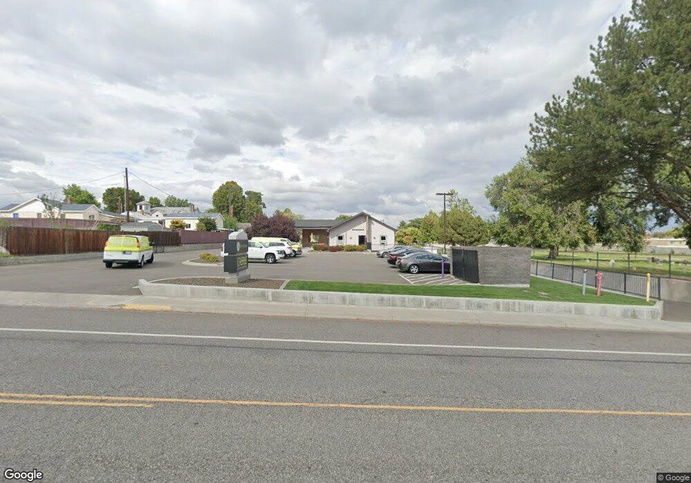
706 Williams Blvd Richland, WA 99354
Estimated Value: $1,013,627
--
Bed
--
Bath
3,960
Sq Ft
$256/Sq Ft
Est. Value
About This Home
This home is located at 706 Williams Blvd, Richland, WA 99354 and is currently estimated at $1,013,627, approximately $255 per square foot. 706 Williams Blvd is a home located in Benton County with nearby schools including Jefferson Elementary School, Chief Joseph Middle School, and Richland High School.
Ownership History
Date
Name
Owned For
Owner Type
Purchase Details
Closed on
Jun 1, 2011
Sold by
Richland Temple Association Inc
Bought by
Purple Starfish Llc
Current Estimated Value
Home Financials for this Owner
Home Financials are based on the most recent Mortgage that was taken out on this home.
Original Mortgage
$310,000
Outstanding Balance
$214,708
Interest Rate
4.73%
Mortgage Type
Commercial
Estimated Equity
$798,919
Create a Home Valuation Report for This Property
The Home Valuation Report is an in-depth analysis detailing your home's value as well as a comparison with similar homes in the area
Home Values in the Area
Average Home Value in this Area
Purchase History
| Date | Buyer | Sale Price | Title Company |
|---|---|---|---|
| Purple Starfish Llc | $350,000 | Benton Franklin Title Co |
Source: Public Records
Mortgage History
| Date | Status | Borrower | Loan Amount |
|---|---|---|---|
| Open | Purple Starfish Llc | $310,000 |
Source: Public Records
Tax History Compared to Growth
Tax History
| Year | Tax Paid | Tax Assessment Tax Assessment Total Assessment is a certain percentage of the fair market value that is determined by local assessors to be the total taxable value of land and additions on the property. | Land | Improvement |
|---|---|---|---|---|
| 2024 | $7,711 | $827,570 | $249,460 | $578,110 |
| 2023 | $7,711 | $827,570 | $249,460 | $578,110 |
| 2022 | $9,015 | $820,300 | $242,190 | $578,110 |
| 2021 | $9,385 | $820,300 | $242,190 | $578,110 |
| 2020 | $9,873 | $820,300 | $242,190 | $578,110 |
| 2019 | $9,158 | $815,390 | $242,190 | $573,200 |
| 2018 | $10,947 | $815,390 | $242,190 | $573,200 |
| 2017 | $9,695 | $815,390 | $242,190 | $573,200 |
| 2016 | $9,554 | $815,390 | $242,190 | $573,200 |
| 2015 | $9,737 | $815,390 | $242,190 | $573,200 |
| 2014 | -- | $815,390 | $242,190 | $573,200 |
| 2013 | -- | $349,000 | $242,190 | $106,810 |
Source: Public Records
Map
Nearby Homes
- 1311 Goethals Dr Unit E
- 509 Taylor St
- 1405 Marshall Ave
- 609 Torbett St
- 1509 Kimball Ave
- 1511 Goethals Dr
- 1116 Thayer Dr
- 947 Long Ave
- 1308 Swift Blvd
- 1314 Potter Ave
- 1214 Potter Ave
- 1603 Mahan Ave
- 1118 Potter Ave
- 1609 Judson Ave
- 1323 Potter Ave
- 1002 Sanford Ave
- 1509 Potter Ave
- 1904 Thompson St
- 1510 Wilson St
- 1020 Wright Ave
- 1308 Kimball Ave
- 1306 Kimball Ave
- 1310 Kimball Ave
- 1302 Kimball Ave
- 1314 Kimball Ave
- 1311 Kimball Ave
- 1318 Kimball Ave
- 1309 Kimball Ave
- 1307 Kimball Ave
- 1303 Kimball Ave
- 1315 Kimball Ave
- 1319 Kimball Ave
- 1305 Goethals Dr
- 1305 Goethals Dr Unit G
- 1305 Goethals Dr Unit F
- 1305 Goethals Dr Unit E
- 1305 Goethals Dr Unit D
- 1305 Goethals Dr Unit C
- 1305 Goethals Dr Unit B
- 1305 Goethals Dr Unit A