7060 Red Bird Ln Thurmont, MD 21788
Estimated Value: $246,000
--
Bed
1
Bath
594
Sq Ft
$414/Sq Ft
Est. Value
About This Home
This home is located at 7060 Red Bird Ln, Thurmont, MD 21788 and is currently estimated at $246,000, approximately $414 per square foot. 7060 Red Bird Ln is a home located in Frederick County with nearby schools including Thurmont Primary School, Thurmont Elementary School, and Thurmont Middle School.
Ownership History
Date
Name
Owned For
Owner Type
Purchase Details
Closed on
Jul 30, 2015
Sold by
Butler Joseph E
Bought by
Trippett Michael E and Trippett Judith T
Current Estimated Value
Home Financials for this Owner
Home Financials are based on the most recent Mortgage that was taken out on this home.
Original Mortgage
$900,000
Outstanding Balance
$709,046
Interest Rate
4.08%
Mortgage Type
Purchase Money Mortgage
Estimated Equity
-$463,046
Purchase Details
Closed on
Jun 20, 1986
Sold by
Shankle Mildred L
Bought by
Butler Joseph E and Butler Susan C
Home Financials for this Owner
Home Financials are based on the most recent Mortgage that was taken out on this home.
Original Mortgage
$325,000
Interest Rate
10.61%
Create a Home Valuation Report for This Property
The Home Valuation Report is an in-depth analysis detailing your home's value as well as a comparison with similar homes in the area
Home Values in the Area
Average Home Value in this Area
Purchase History
| Date | Buyer | Sale Price | Title Company |
|---|---|---|---|
| Trippett Michael E | $1,125,000 | Homeland Title & Escrow Ltd | |
| Butler Joseph E | $525,000 | -- |
Source: Public Records
Mortgage History
| Date | Status | Borrower | Loan Amount |
|---|---|---|---|
| Open | Trippett Michael E | $900,000 | |
| Previous Owner | Butler Joseph E | $325,000 |
Source: Public Records
Tax History Compared to Growth
Tax History
| Year | Tax Paid | Tax Assessment Tax Assessment Total Assessment is a certain percentage of the fair market value that is determined by local assessors to be the total taxable value of land and additions on the property. | Land | Improvement |
|---|---|---|---|---|
| 2025 | $1,033 | $83,500 | $83,500 | -- |
| 2024 | $1,033 | $83,500 | $83,500 | $0 |
| 2023 | $1,002 | $83,500 | $83,500 | $0 |
| 2022 | $993 | $83,500 | $83,500 | $0 |
| 2021 | $993 | $83,500 | $83,500 | $0 |
| 2020 | $993 | $83,500 | $83,500 | $0 |
| 2019 | $993 | $83,500 | $83,500 | $0 |
| 2018 | $1,002 | $83,500 | $83,500 | $0 |
| 2017 | $154 | $83,500 | $0 | $0 |
| 2016 | $1,602 | $83,500 | $0 | $0 |
| 2015 | $1,602 | $83,500 | $0 | $0 |
| 2014 | $1,602 | $83,500 | $0 | $0 |
Source: Public Records
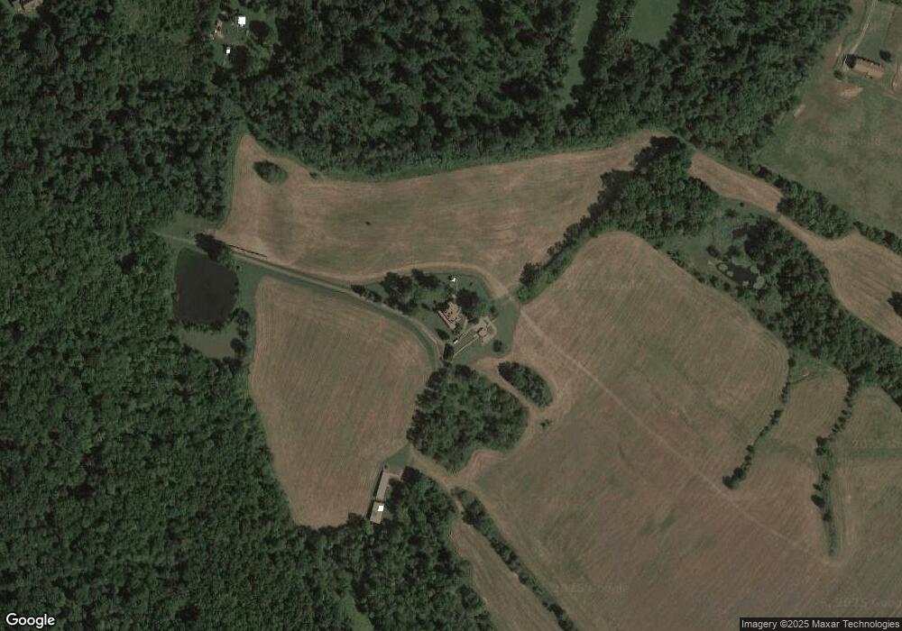
Map
Nearby Homes
- 6927 Kellys Store Rd
- 12261 Baugher Rd
- 12216 Auburn Rd
- 13714 Hillside Ave
- 00 Creagerstown Rd
- 15 Blackford Cir
- 11220C Putman Rd
- 105 Colliery Dr
- 120 Victor Dr
- TBB Clarke Ct Unit GLENSHAW II
- TBB Clarke Ct Unit WHITEHALL
- TBB Westview Dr Unit CARNEGIE
- 111 Summit Ave
- 1 Tacoma St
- 30 Frederick Rd
- 9 Todd Ct
- 18 Water St
- 58 Mountaintop Rd
- 59 Mountaintop Rd
- 19 Sunny Way
- 7060 Red Bird Ln
- 12605 Catoctin Furnace Rd
- 12623 Catoctin Furnace Rd
- 12623 Catoctin Furnace Rd
- 12623 Catoctin Furnace Rd
- 12623 Catoctin Furnace Rd
- 12609 Catoctin Furnace Rd
- 12607B Catoctin Furnace Rd
- 12529 Catoctin Furnace Rd
- 12525 Catoctin Furnace Rd
- 12521 Catoctin Furnace Rd
- 12606 Catoctin Furnace Rd
- 12625 Catoctin Furnace Rd
- 12604 Catoctin Furnace Rd
- 12610 Catoctin Furnace Rd
- 12530 Catoctin Furnace Rd
- 12515 Catoctin Furnace Rd
- 12614 Catoctin Furnace Rd
- 12520 Catoctin Furnace Rd
- 12602 Catoctin Furnace Rd