Estimated Value: $190,000 - $327,000
--
Bed
1
Bath
2,467
Sq Ft
$96/Sq Ft
Est. Value
About This Home
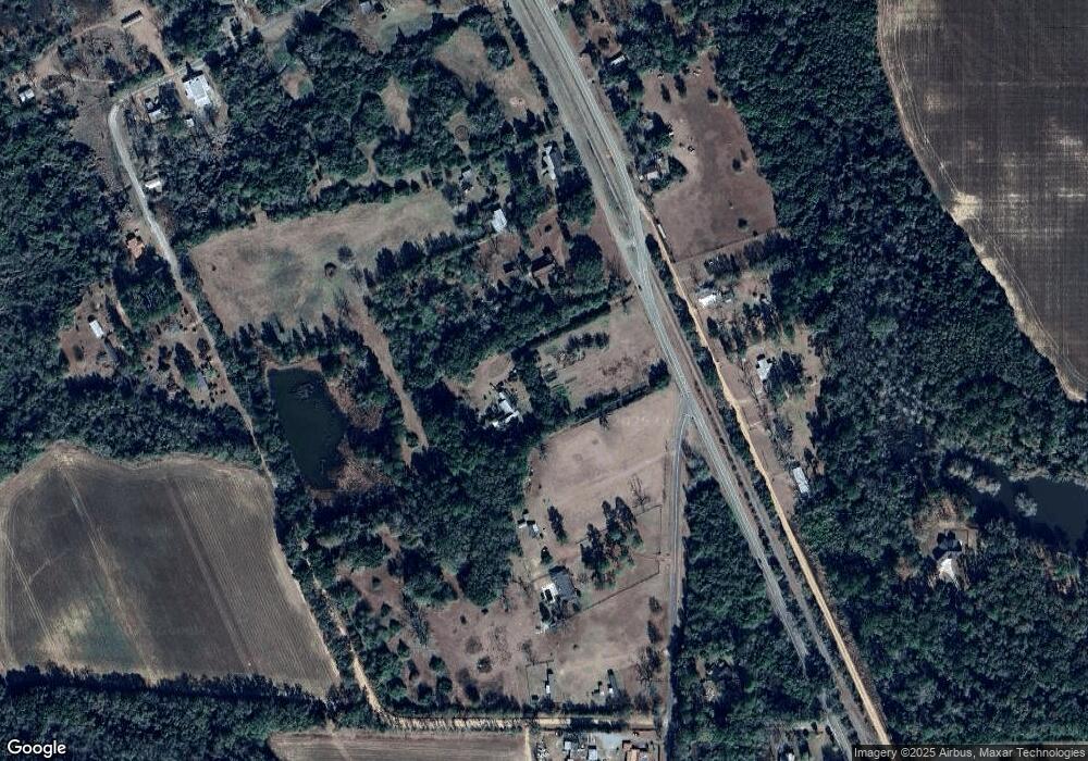
This home is located at 7060 SW Railroad St Unit MG, Meigs, GA 31765 and is currently estimated at $236,375, approximately $95 per square foot. 7060 SW Railroad St Unit MG is a home located in Thomas County with nearby schools including Hand in Hand Primary School, Cross Creek Elementary School, and Garrison-Pilcher Elementary School.
Ownership History
Date
Name
Owned For
Owner Type
Purchase Details
Closed on
May 11, 2007
Sold by
Wurst Doris B
Bought by
Wurst Doris B and Wurst Thomas
Current Estimated Value
Purchase Details
Closed on
Apr 10, 2000
Sold by
Wurst Thomas C
Bought by
Wurst Doris B
Purchase Details
Closed on
Feb 13, 1996
Bought by
Wurst Thomas C
Create a Home Valuation Report for This Property
The Home Valuation Report is an in-depth analysis detailing your home's value as well as a comparison with similar homes in the area
Home Values in the Area
Average Home Value in this Area
Purchase History
| Date | Buyer | Sale Price | Title Company |
|---|---|---|---|
| Wurst Doris B | -- | -- | |
| Wurst Doris B | $67,000 | -- | |
| Wurst Thomas C | -- | -- |
Source: Public Records
Tax History Compared to Growth
Tax History
| Year | Tax Paid | Tax Assessment Tax Assessment Total Assessment is a certain percentage of the fair market value that is determined by local assessors to be the total taxable value of land and additions on the property. | Land | Improvement |
|---|---|---|---|---|
| 2024 | $2,096 | $60,052 | $20,754 | $39,298 |
| 2023 | $1,778 | $53,815 | $16,603 | $37,212 |
| 2022 | $1,087 | $51,145 | $16,603 | $34,542 |
| 2021 | $1,018 | $44,445 | $14,438 | $30,007 |
| 2020 | $1,050 | $44,777 | $14,438 | $30,339 |
| 2019 | $1,057 | $44,777 | $14,438 | $30,339 |
| 2018 | $1,056 | $44,458 | $14,438 | $30,020 |
| 2017 | $1,100 | $45,456 | $14,438 | $31,018 |
| 2016 | $1,086 | $44,836 | $14,438 | $30,399 |
| 2015 | -- | $50,558 | $14,438 | $36,120 |
| 2014 | -- | $49,749 | $14,438 | $35,311 |
| 2013 | -- | $49,748 | $14,437 | $35,311 |
Source: Public Records
Map
Nearby Homes
- 3028 E Crawford St
- 16 Riverwind Trail
- 00 Georgia 3
- 0 Us Hwy 19n Palmer Rd
- 8135 N Church St
- 5488 Bulloch Rd
- 831 Cottonwood Rd
- 1181 U S 19
- 1197 U S 19
- 2545 Stage Coach Rd
- 1168 Mitchell Road (112 Acres)
- 1168 Mitchell Rd
- 136 Harmony Rd
- 387 Lakeshore Rd
- 00 Rupp Rd
- 00 Laverne Ln
- 835 Mill Pond Rd
- 27286 U S 19
- 375 Baggs Ave SE
- 3** Youngs Mill Rd
- 7006 SW Railroad St Unit MG
- 00 Bulloch Rd
- 2504 Nine Dime Doctor Rd
- 7367 Bulloch Rd
- 6032 SW Railroad St
- 7071 S Church St
- 2492 Nine Dime Doctor Rd
- 2442 Nine Dime Doctor Rd
- 6032 W Railroad St
- 00 Bulloch Road 185 + - Acres
- 1342 9 Dime Doctor Rd
- 00 Collins St
- 9 Nine Dime Doctor Rd
- 6096 S Collins St
- 7302 Bulloch Rd
- 7251 Bulloch Rd
- 7205 Bulloch Rd
- 2049 Collins St
- 3047 Collins St
- 1069 Collins St
