Estimated Value: $325,000 - $1,845,251
5
Beds
7
Baths
5,757
Sq Ft
$188/Sq Ft
Est. Value
About This Home
This home is located at 70602 Anthony Way, Niles, MI 49120 and is currently estimated at $1,085,126, approximately $188 per square foot. 70602 Anthony Way is a home with nearby schools including Merritt Elementary School, Brandywine Elementary School, and Brandywine Middle School.
Ownership History
Date
Name
Owned For
Owner Type
Purchase Details
Closed on
Jan 19, 2012
Sold by
Leep Michael R
Bought by
Leep Michael R and Leep Diana J
Current Estimated Value
Purchase Details
Closed on
Mar 13, 2008
Sold by
Leep Michael and Leep Karen
Bought by
Leep Michael R
Home Financials for this Owner
Home Financials are based on the most recent Mortgage that was taken out on this home.
Original Mortgage
$1,500,000
Interest Rate
5.87%
Mortgage Type
New Conventional
Create a Home Valuation Report for This Property
The Home Valuation Report is an in-depth analysis detailing your home's value as well as a comparison with similar homes in the area
Home Values in the Area
Average Home Value in this Area
Purchase History
| Date | Buyer | Sale Price | Title Company |
|---|---|---|---|
| Leep Michael R | -- | None Available | |
| Leep Michael R | -- | Metropolitan Title In Llc |
Source: Public Records
Mortgage History
| Date | Status | Borrower | Loan Amount |
|---|---|---|---|
| Closed | Leep Michael R | $1,500,000 |
Source: Public Records
Tax History Compared to Growth
Tax History
| Year | Tax Paid | Tax Assessment Tax Assessment Total Assessment is a certain percentage of the fair market value that is determined by local assessors to be the total taxable value of land and additions on the property. | Land | Improvement |
|---|---|---|---|---|
| 2025 | $15,324 | $1,039,400 | $1,039,400 | $0 |
| 2024 | $6,419 | $1,033,700 | $1,033,700 | $0 |
| 2023 | $6,122 | $956,900 | $0 | $0 |
| 2022 | $5,604 | $661,800 | $0 | $0 |
| 2021 | $12,878 | $580,200 | $0 | $0 |
| 2020 | $12,866 | $569,200 | $0 | $0 |
| 2019 | $11,956 | $557,200 | $0 | $0 |
| 2018 | $4,977 | $478,800 | $0 | $0 |
| 2017 | $4,875 | $480,600 | $0 | $0 |
| 2016 | $4,831 | $487,200 | $0 | $0 |
| 2015 | -- | $498,300 | $0 | $0 |
| 2011 | -- | $436,600 | $0 | $0 |
Source: Public Records
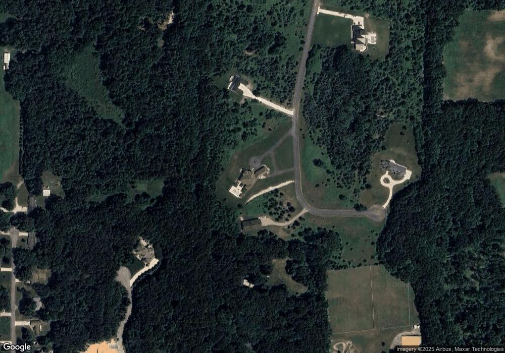
Map
Nearby Homes
- Lot #6 Pine Ridge Dr
- 0 Karlson Ln Unit LOT E,F,G 25039543
- 32898 Bertrand St
- 32170 Bent Oak Trail
- 71451 Sanderling Dr
- 71454 Song Sparrow Trail
- 70661 Dennis Dr
- 33363 Bertrand St
- 16322 Barryknoll Way
- 33192 Old Post Rd
- 17311 Turnbury Ct
- 17131 Ridgefield Ct
- 16161 Barryknoll Way
- VL Washington St
- 69535 Turkey Trail Dr
- 50756 Trails N
- Lot 44 Foxboro Ct Unit 44
- 17109 Adams Rd
- 70700 Ironwood Dr
- 50525 Allegheny Ct
- 70739 Anthony Way
- 70570 Anthony Way
- 0 Anthony Way Tract 12 Unit 68016031614
- 0 Anthony Way Tract 12 Unit 16031614
- 0 Anthony Way Tract 11
- 32486 Redfield St
- 32549 Bertrand St
- 0 Anthony Way Tract 13
- 70440 Anthony Way
- 70737 Carter Ave
- 229 Carter Ave
- 70916 Glick Ln
- Lot 8 & 9 Pine Ridge Dr
- Lot 8 Pine Ridge Dr
- Lot 9 Pine Ridge Dr
- 70815 Carter Ave
- TBD Redfield St
- 70843 Carter Ave
- 70445 Anthony Way
- 70939 Glick Ln