7063 Pair O Dice Rd Show Low, AZ 85901
Estimated Value: $447,000 - $546,000
4
Beds
2
Baths
2,176
Sq Ft
$228/Sq Ft
Est. Value
About This Home
This home is located at 7063 Pair O Dice Rd, Show Low, AZ 85901 and is currently estimated at $495,675, approximately $227 per square foot. 7063 Pair O Dice Rd is a home located in Navajo County with nearby schools including Linden Elementary School, Show Low High School, and Show Low Junior High School.
Ownership History
Date
Name
Owned For
Owner Type
Purchase Details
Closed on
Jul 23, 2018
Sold by
Overton Jeffrey S and Overton Christina E
Bought by
Overton Christina E
Current Estimated Value
Home Financials for this Owner
Home Financials are based on the most recent Mortgage that was taken out on this home.
Original Mortgage
$134,000
Outstanding Balance
$116,388
Interest Rate
4.6%
Mortgage Type
New Conventional
Estimated Equity
$379,287
Purchase Details
Closed on
Jul 8, 2011
Sold by
Medina Cruz H and Medina Flora M
Bought by
Overton Jeffrey S and Overton Christina E
Home Financials for this Owner
Home Financials are based on the most recent Mortgage that was taken out on this home.
Original Mortgage
$148,117
Interest Rate
4.37%
Mortgage Type
VA
Purchase Details
Closed on
Jan 12, 2011
Sold by
Dft Investments
Bought by
Medina Cruz H and Medina Flora M
Create a Home Valuation Report for This Property
The Home Valuation Report is an in-depth analysis detailing your home's value as well as a comparison with similar homes in the area
Home Values in the Area
Average Home Value in this Area
Purchase History
| Date | Buyer | Sale Price | Title Company |
|---|---|---|---|
| Overton Christina E | -- | First American Title Ins Co | |
| Overton Jeffrey S | $145,000 | Lawyers Title Of Arizona | |
| Medina Cruz H | $101,129 | None Available |
Source: Public Records
Mortgage History
| Date | Status | Borrower | Loan Amount |
|---|---|---|---|
| Open | Overton Christina E | $134,000 | |
| Previous Owner | Overton Jeffrey S | $148,117 |
Source: Public Records
Tax History Compared to Growth
Tax History
| Year | Tax Paid | Tax Assessment Tax Assessment Total Assessment is a certain percentage of the fair market value that is determined by local assessors to be the total taxable value of land and additions on the property. | Land | Improvement |
|---|---|---|---|---|
| 2026 | $1,081 | -- | -- | -- |
| 2025 | $1,064 | $29,735 | $5,921 | $23,814 |
| 2024 | $1,064 | $30,632 | $7,316 | $23,316 |
| 2023 | $1,064 | $23,327 | $4,138 | $19,189 |
| 2022 | $999 | $0 | $0 | $0 |
| 2021 | $1,014 | $0 | $0 | $0 |
| 2020 | $944 | $0 | $0 | $0 |
| 2019 | $945 | $0 | $0 | $0 |
| 2018 | $1,067 | $0 | $0 | $0 |
| 2017 | $985 | $0 | $0 | $0 |
| 2016 | $971 | $0 | $0 | $0 |
| 2015 | $911 | $7,596 | $2,547 | $5,049 |
Source: Public Records
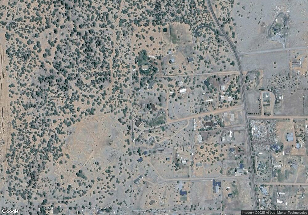
Map
Nearby Homes
- 1276 Lone Pine Dam Rd
- 7075 Bryant Blvd
- 7106 Long Rd
- 7130 White Gate Way
- 7092 Shilo Trail
- 1182 Outlaw Pass
- 1188 Outlaw Pass
- 7046 Stagecoach Pass
- 13 Lone Pine Dam Rd
- 6923 Laura's Place
- 1070 Lone Pine Dam Rd
- 1085 Pine Ridge Dr
- 1170 Sapphire Ln
- 1076 Mogollon Cir
- 0 Starry Night Trail Unit 258801
- 1010 Chaparral Dr
- 1002 Dwight Dr
- 965 Full House Ln
- 1606 Echo Ct
- 2701 N Eagle View Cir
- 7069 Pair O Dice Rd
- 7069 Pair O Dice Rd Unit 7077 PAIR O DICE
- 7059 Pair O Dice Rd
- 7082 Pair O Dice Rd
- 1258 Lone Pine Dam Rd Unit 13
- 1282 Lone Pine Dam Rd
- 7070 White Gate Way
- 7092 Pair O Dice Rd
- 0 White Gate Way
- 1276 Lone Pine Dam Rd Unit 13
- 7069 White Gate Way
- 1248 Lone Pine Dam Rd
- 1248 Lone Pine Dam Rd Unit FS13
- 1288 Lone Pine Dam Rd
- 7081 White Gate Way
- 7075 White Gate Way
- 1242 Lone Pine Dam Rd
- 1242 Lone Pine Dam Rd Unit FS13
- 1285 Lone Pine Dam Rd
- 7104 Pair O Dice Rd