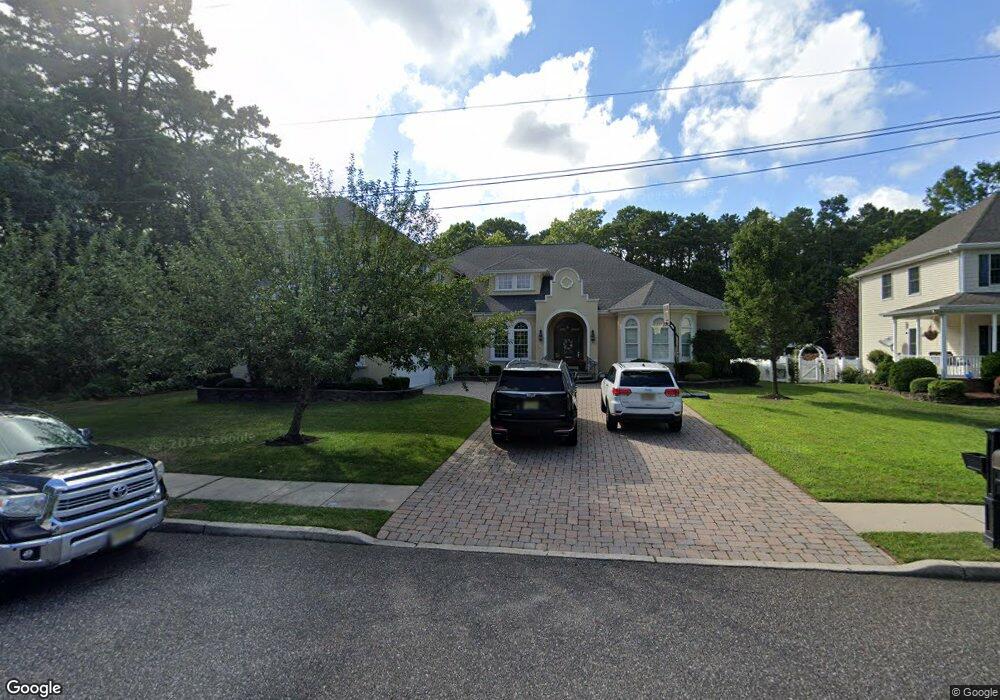
707 15th St Absecon, NJ 08201
Estimated Value: $661,538 - $832,000
--
Bed
--
Bath
3,554
Sq Ft
$204/Sq Ft
Est. Value
About This Home
This home is located at 707 15th St, Absecon, NJ 08201 and is currently estimated at $725,135, approximately $204 per square foot. 707 15th St is a home located in Atlantic County with nearby schools including Emma C. Attales Middle School, Assumption Regional Catholic School, and Holy Spirit High School.
Ownership History
Date
Name
Owned For
Owner Type
Purchase Details
Closed on
May 4, 2022
Sold by
Pugh Brian W and Pugh Holly D
Bought by
Pugh Holly D
Current Estimated Value
Purchase Details
Closed on
Feb 23, 2016
Sold by
Coiro Ronald and Coiro Rosa Maria
Bought by
Pugh Brian W and Pugh Holly D
Home Financials for this Owner
Home Financials are based on the most recent Mortgage that was taken out on this home.
Original Mortgage
$4,000,000
Interest Rate
3.1%
Mortgage Type
New Conventional
Purchase Details
Closed on
Oct 5, 2012
Sold by
Coiro Ronald
Bought by
Coiro Donald and Coiro Rosa Maria
Purchase Details
Closed on
Jun 20, 2003
Sold by
City Of Absecon
Bought by
Coiro Ronald
Create a Home Valuation Report for This Property
The Home Valuation Report is an in-depth analysis detailing your home's value as well as a comparison with similar homes in the area
Home Values in the Area
Average Home Value in this Area
Purchase History
| Date | Buyer | Sale Price | Title Company |
|---|---|---|---|
| Pugh Holly D | $75,000 | Liguori Joseph C | |
| Pugh Brian W | $500,000 | Surety Title | |
| Coiro Donald | -- | None Available | |
| Coiro Ronald | $96,000 | -- |
Source: Public Records
Mortgage History
| Date | Status | Borrower | Loan Amount |
|---|---|---|---|
| Previous Owner | Pugh Brian W | $4,000,000 |
Source: Public Records
Tax History Compared to Growth
Tax History
| Year | Tax Paid | Tax Assessment Tax Assessment Total Assessment is a certain percentage of the fair market value that is determined by local assessors to be the total taxable value of land and additions on the property. | Land | Improvement |
|---|---|---|---|---|
| 2025 | $12,166 | $363,600 | $112,100 | $251,500 |
| 2024 | $12,166 | $363,600 | $112,100 | $251,500 |
| 2023 | $12,021 | $363,600 | $112,100 | $251,500 |
| 2022 | $12,021 | $363,600 | $112,100 | $251,500 |
| 2021 | $11,984 | $363,600 | $112,100 | $251,500 |
| 2020 | $12,006 | $363,600 | $112,100 | $251,500 |
| 2019 | $11,919 | $363,600 | $112,100 | $251,500 |
| 2018 | $11,970 | $363,600 | $112,100 | $251,500 |
| 2017 | $11,860 | $362,900 | $111,400 | $251,500 |
| 2016 | $11,526 | $362,900 | $111,400 | $251,500 |
| 2015 | $11,377 | $362,900 | $111,400 | $251,500 |
| 2014 | $11,685 | $377,900 | $111,400 | $266,500 |
Source: Public Records
Map
Nearby Homes
- 726 Blenheim Ave
- 928 Traymore Pkwy
- 1110 Breakers Ave
- 130 Crestview Ave
- 714 S 8th Ave
- 720 8th Ave
- 47 E Woodland Ave Unit C47
- 90 E Woodland Ave Unit E90
- 39 Theresa Ct
- 363 E Upland Ave
- 399 Pitney Rd
- 560 S Pitney Rd
- 244 E Wyoming Ave
- 210 Coolidge Ave
- 236 E Wyoming Ave
- 243 Pennsylvania Ave
- 318 E White Horse Pike
- 120 Pitney Rd
- 1 Mechanic St Unit 108
- 107 W Church St