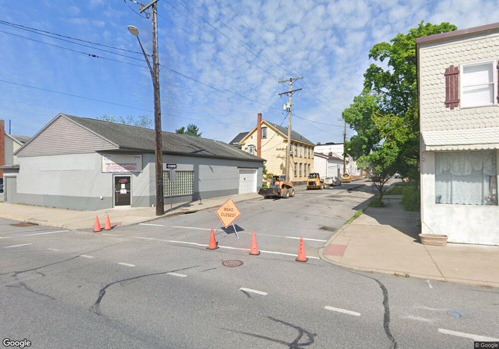
707 20th St Unit 9 Altoona, PA 16602
Sixth Ward NeighborhoodEstimated Value: $201,550
--
Bed
--
Bath
--
Sq Ft
6,098
Sq Ft Lot
About This Home
This home is located at 707 20th St Unit 9, Altoona, PA 16602 and is currently estimated at $201,550. 707 20th St Unit 9 is a home located in Blair County with nearby schools including Bishop Guilfoyle Academy and Adelphoi Education At Altoona.
Ownership History
Date
Name
Owned For
Owner Type
Purchase Details
Closed on
Mar 31, 2022
Sold by
Colombo Jr Michael J and Colombo Gabrielle
Bought by
Teal Income Only Protector Trust
Current Estimated Value
Purchase Details
Closed on
Sep 29, 2010
Sold by
Blair County Community Action Program
Bought by
Community Action Services Of Blair Count
Purchase Details
Closed on
Jun 9, 2005
Sold by
Rehm Nunzio J and Rehm Patricia L
Bought by
Blair County Community Action Program
Home Financials for this Owner
Home Financials are based on the most recent Mortgage that was taken out on this home.
Original Mortgage
$100,000
Interest Rate
5.79%
Mortgage Type
Commercial
Create a Home Valuation Report for This Property
The Home Valuation Report is an in-depth analysis detailing your home's value as well as a comparison with similar homes in the area
Home Values in the Area
Average Home Value in this Area
Purchase History
| Date | Buyer | Sale Price | Title Company |
|---|---|---|---|
| Teal Income Only Protector Trust | -- | Samantha K Wolfe Llc | |
| Community Action Services Of Blair Count | -- | None Available | |
| Blair County Community Action Program | $100,000 | None Available |
Source: Public Records
Mortgage History
| Date | Status | Borrower | Loan Amount |
|---|---|---|---|
| Previous Owner | Blair County Community Action Program | $100,000 |
Source: Public Records
Tax History Compared to Growth
Tax History
| Year | Tax Paid | Tax Assessment Tax Assessment Total Assessment is a certain percentage of the fair market value that is determined by local assessors to be the total taxable value of land and additions on the property. | Land | Improvement |
|---|---|---|---|---|
| 2025 | $4,485 | $234,800 | $18,700 | $216,100 |
| 2024 | $3,968 | $234,800 | $18,700 | $216,100 |
| 2023 | $3,677 | $234,800 | $18,700 | $216,100 |
| 2022 | $3,623 | $234,800 | $18,700 | $216,100 |
| 2021 | $3,623 | $234,800 | $18,700 | $216,100 |
| 2020 | $3,618 | $234,800 | $18,700 | $216,100 |
| 2019 | $3,535 | $234,800 | $18,700 | $216,100 |
| 2018 | $3,435 | $234,800 | $18,700 | $216,100 |
| 2017 | $14,854 | $234,800 | $18,700 | $216,100 |
| 2016 | $591 | $18,450 | $790 | $17,660 |
| 2015 | $591 | $18,450 | $790 | $17,660 |
| 2014 | $591 | $18,450 | $790 | $17,660 |
Source: Public Records
Map
Nearby Homes
- 1925 2nd Ave
- 1818 Bell Ave
- 2218 2nd Ave
- 1919 5th Ave
- 1619 Crawford Ave
- 2306 5th Ave
- 2417 4th Ave
- 1545 Bell Ave
- 1603 Walton Ave
- 2011 7th Ave
- 707-709 20th St
- 2009 8th Ave
- 400-02 4th Ave
- 1414 Grant Ave Unit 16
- 0 S Jaggard St
- 0 Union Ave
- 1926-36 Bell Ave
- 1920 Bell Ave
- 1224 2nd Ave
- 1330 Pleasant Valley Blvd
- 707 20th St Unit 9
- 1935 1st Ave
- 2004 1st Ave Unit 6
- 2000 1st Ave Unit 2
- 2008 1st Ave Unit 14
- 111 20th St Unit 15
- 1941 1st Ave Unit 43
- 1931 1st Ave
- 2016 1st Ave Unit 18
- 2020 1st Ave Unit 22
- 1929 1st Ave
- 2001 1st Ave
- 1927 1st Ave
- 2003 1st Ave
- 1940 Crawford Ave Unit 42
- 1926 1st Ave
- 1925 1st Ave
- 2005 1st Ave
- 1924 1st Ave
- 1923 1st Ave