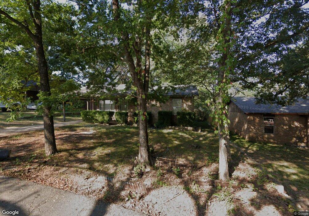
707 Carter St Poteau, OK 74953
Estimated Value: $19,000 - $103,000
3
Beds
1
Bath
1,164
Sq Ft
$57/Sq Ft
Est. Value
About This Home
This home is located at 707 Carter St, Poteau, OK 74953 and is currently estimated at $66,220, approximately $56 per square foot. 707 Carter St is a home with nearby schools including Poteau Primary Elementary School, Poteau Upper Elementary School, and Pansy Kidd Middle School.
Ownership History
Date
Name
Owned For
Owner Type
Purchase Details
Closed on
Oct 8, 2024
Sold by
Hickman Billy Joe
Bought by
James Carl Ford Living Trust
Current Estimated Value
Purchase Details
Closed on
Dec 3, 2006
Sold by
Howard Franklin and Howard Patricia A
Bought by
Fiser Lila Lee
Home Financials for this Owner
Home Financials are based on the most recent Mortgage that was taken out on this home.
Original Mortgage
$96,500
Interest Rate
5.62%
Mortgage Type
Adjustable Rate Mortgage/ARM
Purchase Details
Closed on
Aug 28, 2006
Sold by
Hickman Stacy
Bought by
Hickman Billy
Create a Home Valuation Report for This Property
The Home Valuation Report is an in-depth analysis detailing your home's value as well as a comparison with similar homes in the area
Home Values in the Area
Average Home Value in this Area
Purchase History
| Date | Buyer | Sale Price | Title Company |
|---|---|---|---|
| James Carl Ford Living Trust | $20,000 | None Listed On Document | |
| Fiser Lila Lee | -- | -- | |
| Hickman Billy | -- | -- |
Source: Public Records
Mortgage History
| Date | Status | Borrower | Loan Amount |
|---|---|---|---|
| Previous Owner | Fiser Lila Lee | $96,500 |
Source: Public Records
Tax History Compared to Growth
Tax History
| Year | Tax Paid | Tax Assessment Tax Assessment Total Assessment is a certain percentage of the fair market value that is determined by local assessors to be the total taxable value of land and additions on the property. | Land | Improvement |
|---|---|---|---|---|
| 2025 | $494 | $7,896 | $1,040 | $6,856 |
| 2024 | $494 | $8,720 | $440 | $8,280 |
| 2023 | $494 | $5,260 | $440 | $4,820 |
| 2022 | $448 | $5,010 | $440 | $4,570 |
| 2021 | $426 | $4,771 | $440 | $4,331 |
| 2020 | $429 | $4,783 | $440 | $4,343 |
| 2019 | $459 | $5,107 | $440 | $4,667 |
| 2018 | $434 | $5,093 | $440 | $4,653 |
| 2017 | $444 | $5,187 | $438 | $4,749 |
| 2016 | $420 | $4,940 | $409 | $4,531 |
| 2015 | $407 | $4,704 | $432 | $4,272 |
| 2014 | $391 | $4,481 | $404 | $4,077 |
Source: Public Records
Map
Nearby Homes
- 207 Thompson Ave
- 301 Wilson Ave
- 104 Clark Ave
- 301 Turman St
- 516 Beeler St
- 701 N Witte St
- TBD Tract #1 Coggins Ave
- TBD Tract #2 Coggins Ave
- 000 Coggins Ave
- 2601 N Witte St
- 606 Torby Ave
- 104 Craigway St
- 308 Peters St
- 204 Bowlin Dr
- 307 Mission Dr
- 205 Bowlin Dr
- TBD Mission Dr
- 206 Green Ave
- 315 College Ave
- 2104 N Broadway St Unit b