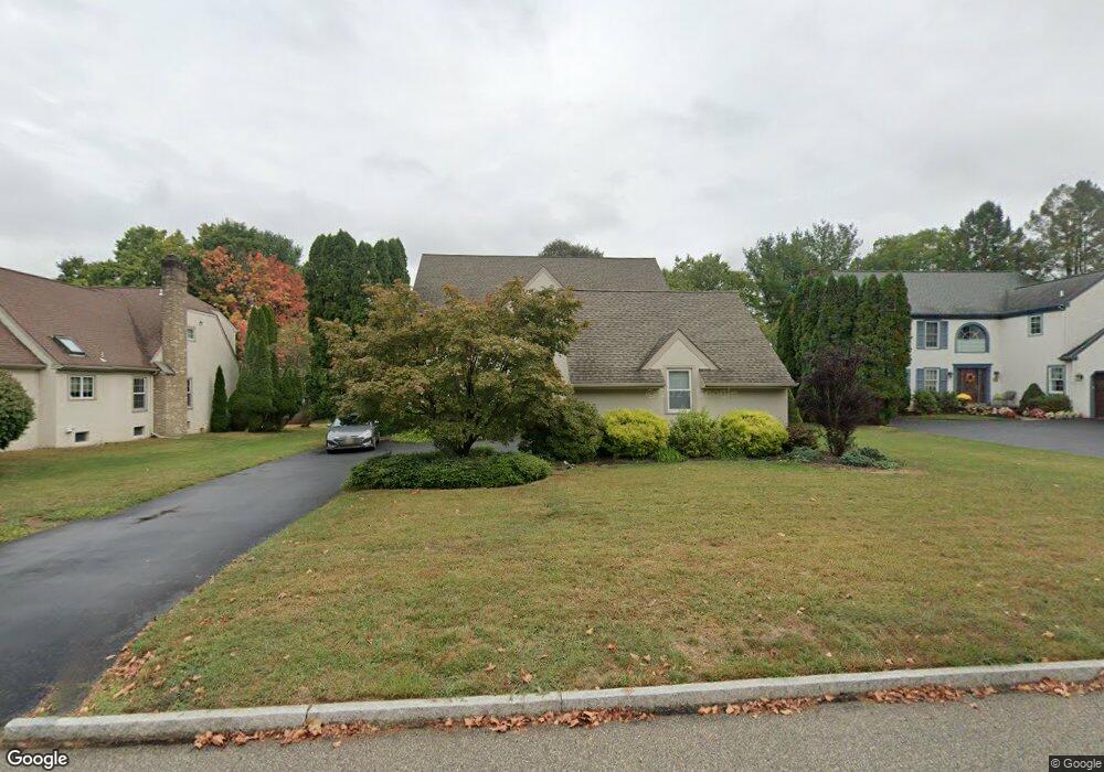
707 Cornerstone Ln Bryn Mawr, PA 19010
Estimated Value: $1,063,693 - $1,257,000
4
Beds
3
Baths
2,888
Sq Ft
$399/Sq Ft
Est. Value
About This Home
This home is located at 707 Cornerstone Ln, Bryn Mawr, PA 19010 and is currently estimated at $1,151,173, approximately $398 per square foot. 707 Cornerstone Ln is a home located in Delaware County with nearby schools including Ithan Elementary School, Radnor Middle School, and Radnor Senior High School.
Ownership History
Date
Name
Owned For
Owner Type
Purchase Details
Closed on
Jul 26, 1997
Sold by
Tennant William H and Tennant Joan Lamm
Bought by
Shrager Larry M and Shrager Joyce F
Current Estimated Value
Home Financials for this Owner
Home Financials are based on the most recent Mortgage that was taken out on this home.
Original Mortgage
$281,700
Interest Rate
7.31%
Create a Home Valuation Report for This Property
The Home Valuation Report is an in-depth analysis detailing your home's value as well as a comparison with similar homes in the area
Home Values in the Area
Average Home Value in this Area
Purchase History
| Date | Buyer | Sale Price | Title Company |
|---|---|---|---|
| Shrager Larry M | $452,250 | -- |
Source: Public Records
Mortgage History
| Date | Status | Borrower | Loan Amount |
|---|---|---|---|
| Previous Owner | Shrager Larry M | $281,700 |
Source: Public Records
Tax History Compared to Growth
Tax History
| Year | Tax Paid | Tax Assessment Tax Assessment Total Assessment is a certain percentage of the fair market value that is determined by local assessors to be the total taxable value of land and additions on the property. | Land | Improvement |
|---|---|---|---|---|
| 2025 | $13,514 | $668,410 | $195,520 | $472,890 |
| 2024 | $13,514 | $668,410 | $195,520 | $472,890 |
| 2023 | $12,978 | $668,410 | $195,520 | $472,890 |
| 2022 | $12,837 | $668,410 | $195,520 | $472,890 |
| 2021 | $20,620 | $668,410 | $195,520 | $472,890 |
| 2020 | $12,999 | $373,670 | $157,940 | $215,730 |
| 2019 | $12,632 | $373,670 | $157,940 | $215,730 |
| 2018 | $12,384 | $373,670 | $0 | $0 |
| 2017 | $12,125 | $373,670 | $0 | $0 |
| 2016 | $2,051 | $373,670 | $0 | $0 |
| 2015 | $2,093 | $373,670 | $0 | $0 |
| 2014 | $2,051 | $373,670 | $0 | $0 |
Source: Public Records
Map
Nearby Homes
- 700 S Roberts Rd
- 124 Carli Dr
- 39 Haymarket Ln
- 937 Hunt Rd
- 403 Atwater Rd
- 560 S Bryn Mawr Ave
- 130 Drakes Drum Dr
- 119 Bella Dr Unit 2MD
- 115 Bella Dr Unit 4
- 117 Bella Dr Unit 3AD
- 209 James Rd
- 408 Barbara Ln Unit B
- 633 Foxfields Rd
- 306 Summit Dr
- 103 Summit Dr Unit A
- 103 Summit Dr Unit B
- 202 Summit Dr Unit B
- 102 James Rd
- 635 S Ithan Ave
- 726 Darby Paoli Rd
- 705 Cornerstone Ln
- 709 Cornerstone Ln
- 8 Fieldstone Ln
- 10 Fieldstone Ln
- 703 Cornerstone Ln
- 711 Cornerstone Ln
- 6 Fieldstone Ln
- 706 Cornerstone Ln
- 708 Cornerstone Ln
- 704 Cornerstone Ln
- 710 Cornerstone Ln
- 713 Cornerstone Ln
- 12 Fieldstone Ln
- 4 Fieldstone Ln
- 702 Cornerstone Ln
- 701 Cornerstone Ln
- 712 Cornerstone Ln
- 715 Cornerstone Ln
- 743 Cornerstone Ln
- 3 Fieldstone Ln