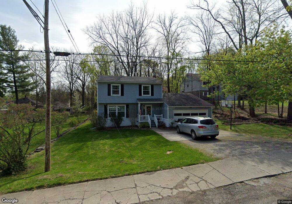
707 Davis St Fenton, MI 48430
Estimated Value: $310,831 - $334,000
4
Beds
2
Baths
1,712
Sq Ft
$187/Sq Ft
Est. Value
About This Home
This home is located at 707 Davis St, Fenton, MI 48430 and is currently estimated at $320,958, approximately $187 per square foot. 707 Davis St is a home located in Genesee County with nearby schools including Fenton Senior High School and St. John the Evangelist Catholic School.
Ownership History
Date
Name
Owned For
Owner Type
Purchase Details
Closed on
Aug 18, 2009
Sold by
Morey Michael D and Morey Shirley M
Bought by
Morey Michael D and Morey Shirley M
Current Estimated Value
Create a Home Valuation Report for This Property
The Home Valuation Report is an in-depth analysis detailing your home's value as well as a comparison with similar homes in the area
Home Values in the Area
Average Home Value in this Area
Purchase History
| Date | Buyer | Sale Price | Title Company |
|---|---|---|---|
| Morey Michael D | -- | None Available | |
| Morey Michael D | -- | None Available |
Source: Public Records
Tax History Compared to Growth
Tax History
| Year | Tax Paid | Tax Assessment Tax Assessment Total Assessment is a certain percentage of the fair market value that is determined by local assessors to be the total taxable value of land and additions on the property. | Land | Improvement |
|---|---|---|---|---|
| 2025 | $3,257 | $154,300 | $0 | $0 |
| 2024 | $2,231 | $139,200 | $0 | $0 |
| 2023 | $2,128 | $125,100 | $0 | $0 |
| 2022 | $2,974 | $122,300 | $0 | $0 |
| 2021 | $2,668 | $127,200 | $0 | $0 |
| 2020 | $1,753 | $121,100 | $0 | $0 |
| 2019 | $1,738 | $105,000 | $0 | $0 |
| 2018 | $2,542 | $89,800 | $0 | $0 |
| 2017 | $2,448 | $78,100 | $0 | $0 |
| 2016 | $2,431 | $73,800 | $0 | $0 |
| 2015 | $2,483 | $72,900 | $0 | $0 |
| 2012 | -- | $58,100 | $58,100 | $0 |
Source: Public Records
Map
Nearby Homes
- 211 Colfax St
- 700 S Adelaide St
- 919 Whisperwood Dr
- 305 Furlong Ct
- 837 Whisperwood Trail
- 0 W Caroline St
- 843 Whisperwood Trail Unit 31
- 624 Hickory St
- 300 E Ellen St
- 300 Union St
- 405 Lincoln St
- 407 E Elizabeth St
- 411 Jefferson St
- 11577 Farmhill Dr
- 501 N Leroy St
- 404 Main St
- 1039 S East St
- 217 3rd St
- 621 Forest Dr
- 507 Main St
- 709 Davis St
- 703 Davis St
- 609 W Rockwell St
- 711 Davis St
- 704 Davis St
- 706 Davis St
- 702 Davis St
- 603 W Rockwell St
- 609 Davis St
- 606 Davis St
- 608 W Rockwell St
- 610 Davis St
- 708 Davis St
- 710 Davis St
- 604 W Rockwell St
- 617 W Shiawassee Ave
- 615 W Shiawassee Ave
- 636 S West St
- 613 W Shiawassee Ave
- 602 W Rockwell St