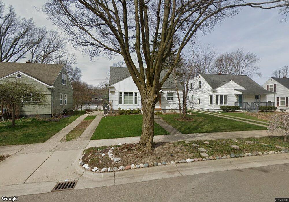
707 Duncan St Ann Arbor, MI 48103
Arborview NeighborhoodEstimated Value: $379,000 - $457,000
3
Beds
1
Bath
1,211
Sq Ft
$339/Sq Ft
Est. Value
About This Home
This home is located at 707 Duncan St, Ann Arbor, MI 48103 and is currently estimated at $410,718, approximately $339 per square foot. 707 Duncan St is a home located in Washtenaw County with nearby schools including Haisley Elementary School, Slauson Middle School, and Skyline High School.
Ownership History
Date
Name
Owned For
Owner Type
Purchase Details
Closed on
Jun 23, 2022
Sold by
Chelius Cynthia A
Bought by
Chelius Cynthia A and Miller Dale K
Current Estimated Value
Purchase Details
Closed on
Oct 21, 2015
Sold by
Chelius Cynthia A and Miller Dale K
Bought by
Chelius Cynthia A and Shared Dale
Purchase Details
Closed on
Aug 11, 1995
Sold by
Bell Richard A
Bought by
Chelius Dale and Chelius Cynthia
Home Financials for this Owner
Home Financials are based on the most recent Mortgage that was taken out on this home.
Original Mortgage
$80,000
Interest Rate
7.55%
Mortgage Type
Balloon
Create a Home Valuation Report for This Property
The Home Valuation Report is an in-depth analysis detailing your home's value as well as a comparison with similar homes in the area
Home Values in the Area
Average Home Value in this Area
Purchase History
| Date | Buyer | Sale Price | Title Company |
|---|---|---|---|
| Chelius Cynthia A | -- | -- | |
| Chelius Cynthia A | -- | None Available | |
| Chelius Dale | $103,500 | -- |
Source: Public Records
Mortgage History
| Date | Status | Borrower | Loan Amount |
|---|---|---|---|
| Previous Owner | Chelius Dale | $80,000 |
Source: Public Records
Tax History
| Year | Tax Paid | Tax Assessment Tax Assessment Total Assessment is a certain percentage of the fair market value that is determined by local assessors to be the total taxable value of land and additions on the property. | Land | Improvement |
|---|---|---|---|---|
| 2025 | $4,636 | $172,100 | $0 | $0 |
| 2024 | $4,317 | $167,500 | $0 | $0 |
| 2023 | $4,636 | $167,200 | $0 | $0 |
| 2022 | $4,319 | $143,500 | $0 | $0 |
| 2021 | $4,217 | $138,600 | $0 | $0 |
| 2020 | $4,132 | $140,800 | $0 | $0 |
| 2019 | $3,859 | $125,100 | $125,100 | $0 |
| 2018 | $3,805 | $116,300 | $0 | $0 |
| 2017 | $3,701 | $111,200 | $0 | $0 |
| 2016 | $4,370 | $102,600 | $0 | $0 |
| 2015 | $3,401 | $73,795 | $0 | $0 |
| 2014 | $3,401 | $71,490 | $0 | $0 |
| 2013 | -- | $71,490 | $0 | $0 |
Source: Public Records
Map
Nearby Homes
- 2344 S Circle Dr
- 1019 Hasper Dr
- 2219 Dexter Ave
- 665 Vine Ct
- 1212 Wines Dr
- 645 Allison Dr
- 115 Longman Ln
- 1043 Pine Tree Dr
- 1754 Jackson Ave
- 2107 Jackson Ave
- 1322 Miller Ave
- 1506 Dexter Ave
- 1390 Patricia Ave Unit 17
- 1106 Paul St
- 2071 Winewood Ave
- 222 Buena Vista Ave
- 637 Ironwood Dr
- 1405 W Liberty St
- 2597 W Towne St
- 2374 Newport Rd
Your Personal Tour Guide
Ask me questions while you tour the home.