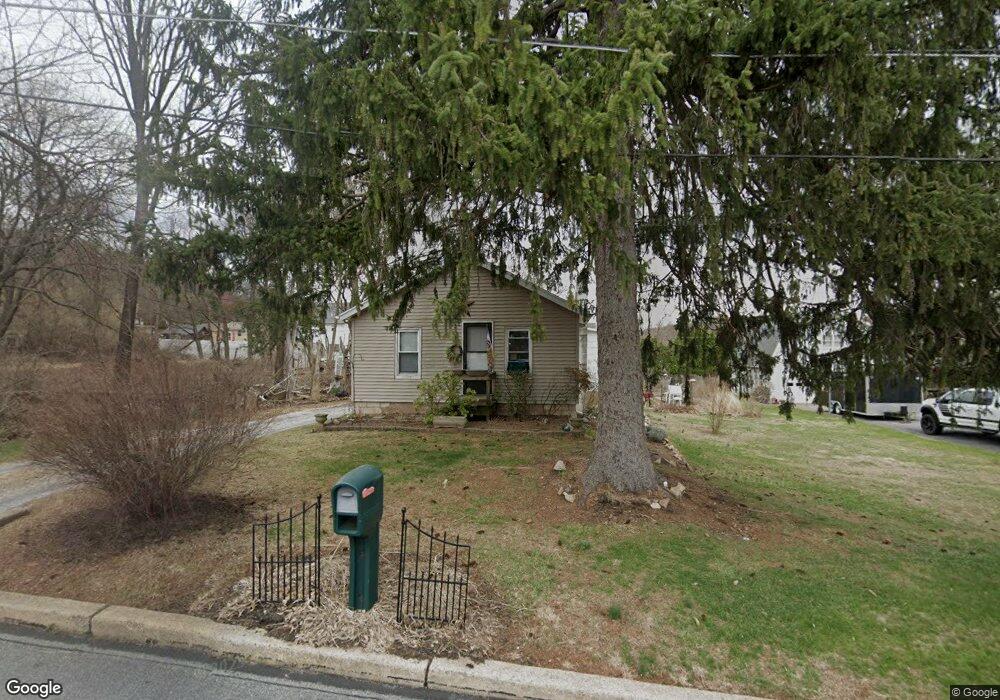
707 Grove Ave Mohnton, PA 19540
Estimated Value: $205,316 - $259,000
2
Beds
1
Bath
909
Sq Ft
$258/Sq Ft
Est. Value
About This Home
This home is located at 707 Grove Ave, Mohnton, PA 19540 and is currently estimated at $234,329, approximately $257 per square foot. 707 Grove Ave is a home located in Berks County with nearby schools including Cumru Elementary School, Governor Mifflin Intermediate School, and Governor Mifflin Middle School.
Ownership History
Date
Name
Owned For
Owner Type
Purchase Details
Closed on
Dec 16, 2011
Sold by
Brown John E
Bought by
Brown John E and Brown Susan L
Current Estimated Value
Home Financials for this Owner
Home Financials are based on the most recent Mortgage that was taken out on this home.
Original Mortgage
$88,000
Interest Rate
3.32%
Mortgage Type
New Conventional
Create a Home Valuation Report for This Property
The Home Valuation Report is an in-depth analysis detailing your home's value as well as a comparison with similar homes in the area
Home Values in the Area
Average Home Value in this Area
Purchase History
| Date | Buyer | Sale Price | Title Company |
|---|---|---|---|
| Brown John E | -- | None Available |
Source: Public Records
Mortgage History
| Date | Status | Borrower | Loan Amount |
|---|---|---|---|
| Closed | Brown John E | $88,000 |
Source: Public Records
Tax History Compared to Growth
Tax History
| Year | Tax Paid | Tax Assessment Tax Assessment Total Assessment is a certain percentage of the fair market value that is determined by local assessors to be the total taxable value of land and additions on the property. | Land | Improvement |
|---|---|---|---|---|
| 2025 | $1,253 | $70,200 | $31,900 | $38,300 |
| 2024 | $3,230 | $70,200 | $31,900 | $38,300 |
| 2023 | $3,139 | $70,200 | $31,900 | $38,300 |
| 2022 | $3,061 | $70,200 | $31,900 | $38,300 |
| 2021 | $3,000 | $70,200 | $31,900 | $38,300 |
| 2020 | $3,000 | $70,200 | $31,900 | $38,300 |
| 2019 | $2,964 | $70,200 | $31,900 | $38,300 |
| 2018 | $2,910 | $70,200 | $31,900 | $38,300 |
| 2017 | $2,854 | $70,200 | $31,900 | $38,300 |
| 2016 | $1,084 | $70,200 | $31,900 | $38,300 |
| 2015 | $1,084 | $70,200 | $31,900 | $38,300 |
| 2014 | $1,084 | $70,200 | $31,900 | $38,300 |
Source: Public Records
Map
Nearby Homes
- 611 Maplewood Ave
- 614 Wolfe Ln
- 206 N Church St
- 13 E Summit St
- 1029 Crestview Ave
- 121 E Summit St
- 1104 Bedford Ave
- 1018 Crestview Ave
- 131 E Wyomissing Ave
- 26 E Mohn St
- 28 N Church St
- 120 E Wyomissing Ave
- 578 Old Lancaster Pike
- 18 Front St
- 419 Holland St
- 8 Bancroft Terrace Unit 8
- 52 W Wyomissing Ave
- 5 Charlemont Ct
- 665 Fairmont Ave
- 15 Lake St
- 709 Grove Ave
- 711 Grove Ave
- 706 Greenwood Ave
- 706 Grove Ave
- 704 Grove Ave
- 704 Greenwood Ave
- 703 Grove Ave
- 708 Grove Ave
- 699 Greenwood Ave
- 705 Greenwood Ave
- 702 Grove Ave
- 0 Greenwood Ave Unit 1000206700
- 0 Greenwood Ave Unit 7014604
- 708 Greenwood Ave
- 700 Greenwood Ave
- 701 Grove Ave
- 624 Leininger Ave
- 620 Leininger Ave
- 715 Greenwood Ave
- 703 Greenwood Ave