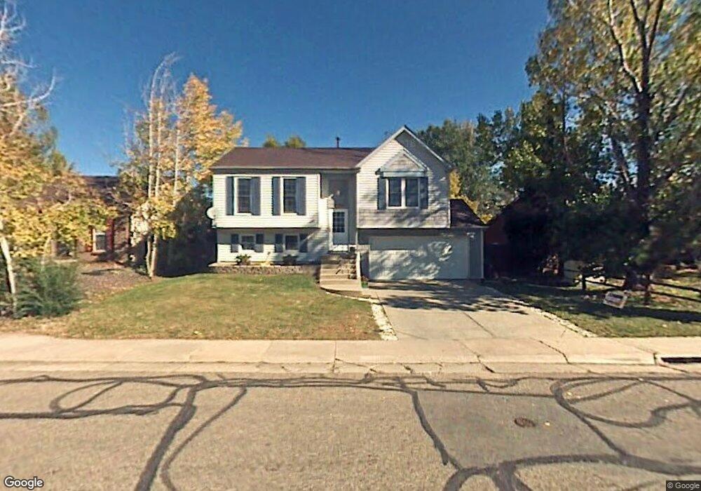
707 Kimbark St Lafayette, CO 80026
Estimated Value: $602,000 - $663,000
2
Beds
1
Bath
924
Sq Ft
$676/Sq Ft
Est. Value
About This Home
This home is located at 707 Kimbark St, Lafayette, CO 80026 and is currently estimated at $624,667, approximately $676 per square foot. 707 Kimbark St is a home located in Boulder County with nearby schools including Lafayette Elementary School, Angevine Middle School, and Centaurus High School.
Ownership History
Date
Name
Owned For
Owner Type
Purchase Details
Closed on
Sep 13, 1993
Sold by
Lolotai Tiloi Henry and Lolotai Kapiolani
Bought by
Lolotai Tiloi Henry and Lolotai Harmony L
Current Estimated Value
Purchase Details
Closed on
Apr 2, 1987
Bought by
Lolotai Tiloi Henry and Lolotai Harmony L
Purchase Details
Closed on
Sep 19, 1984
Bought by
Lolotai Tiloi Henry and Lolotai Harmony L
Purchase Details
Closed on
Jan 24, 1984
Bought by
Lolotai Tiloi Henry and Lolotai Harmony L
Create a Home Valuation Report for This Property
The Home Valuation Report is an in-depth analysis detailing your home's value as well as a comparison with similar homes in the area
Home Values in the Area
Average Home Value in this Area
Purchase History
| Date | Buyer | Sale Price | Title Company |
|---|---|---|---|
| Lolotai Tiloi Henry | -- | -- | |
| Lolotai Tiloi Henry | -- | -- | |
| Lolotai Tiloi Henry | $80,500 | -- | |
| Lolotai Tiloi Henry | -- | -- |
Source: Public Records
Tax History Compared to Growth
Tax History
| Year | Tax Paid | Tax Assessment Tax Assessment Total Assessment is a certain percentage of the fair market value that is determined by local assessors to be the total taxable value of land and additions on the property. | Land | Improvement |
|---|---|---|---|---|
| 2025 | $2,935 | $33,082 | $11,738 | $21,344 |
| 2024 | $2,935 | $33,082 | $11,738 | $21,344 |
| 2023 | $2,884 | $33,118 | $15,042 | $21,762 |
| 2022 | $2,596 | $27,640 | $10,585 | $17,055 |
| 2021 | $2,568 | $28,435 | $10,889 | $17,546 |
| 2020 | $2,481 | $27,149 | $9,295 | $17,854 |
| 2019 | $2,447 | $27,149 | $9,295 | $17,854 |
| 2018 | $2,209 | $24,192 | $7,992 | $16,200 |
| 2017 | $2,150 | $26,746 | $8,836 | $17,910 |
| 2016 | $1,895 | $20,641 | $7,244 | $13,397 |
| 2015 | $1,776 | $17,282 | $5,652 | $11,630 |
| 2014 | $1,494 | $17,282 | $5,652 | $11,630 |
Source: Public Records
Map
Nearby Homes
- 655 N Gooseberry Ct
- 490 E Sutton Cir
- 924 Milo Cir Unit A
- 372 S Carr Ave
- 911 Homer Cir
- 998 Milo Cir Unit A
- 880 Orion Dr
- 1091 Milo Cir Unit B
- 1068 Milo Cir Unit A
- 1045 Milo Cir Unit A
- 403 W Cannon St
- 200 S Carr Ave
- 1191 Milo Cir Unit A
- 1198 Milo Cir Unit A
- 718 Julian Cir
- 925 Sparta Dr
- 1140 Dorset Ct
- 511 S Roosevelt Ave
- 805 Argos Cir
- 725 Julian Cir
- 709 Kimbark St
- 705 Kimbark St
- 665 Barberry Ave
- 680 N Gooseberry Ct
- 711 Kimbark St
- 703 Kimbark St
- 635 Barberry Ave
- 798 Barberry Cir
- 795 Barberry Cir
- 670 N Gooseberry Ct
- 705 Barberry Ave
- 705 Barberry Cir
- 605 Barberry Ave
- 700 S Gooseberry Ct
- 788 Barberry Cir
- 660 N Gooseberry Ct
- 585 Barberry Ave
- 775 Barberry Cir
- 715 Barberry Ave
- 695 N Gooseberry Ct