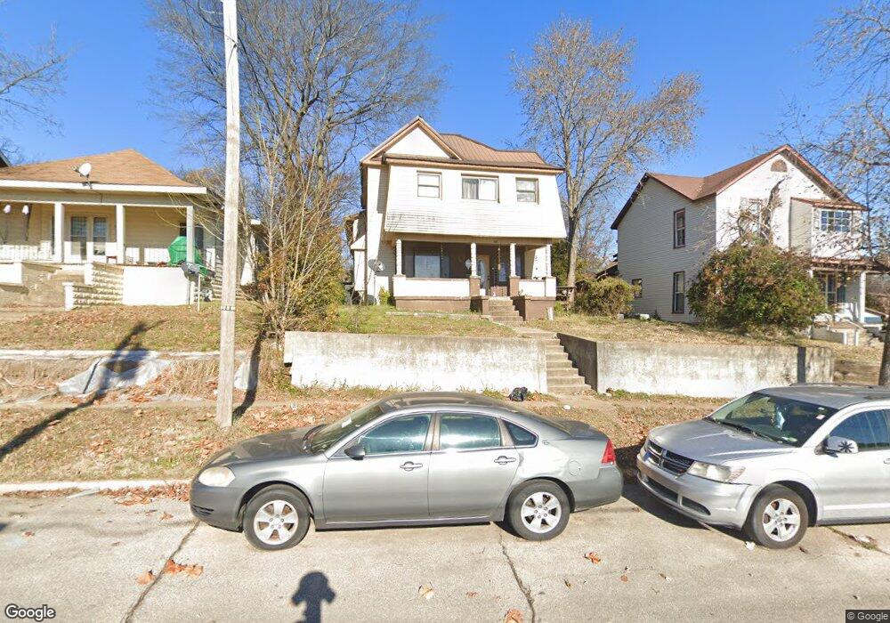
707 Lester St Poplar Bluff, MO 63901
Estimated Value: $54,000 - $161,179
Studio
--
Bath
2,252
Sq Ft
$54/Sq Ft
Est. Value
About This Home
This home is located at 707 Lester St, Poplar Bluff, MO 63901 and is currently estimated at $120,795, approximately $53 per square foot. 707 Lester St is a home with nearby schools including Poplar Bluff Fifth & Sixth Grade Center, Oak Grove Elementary School, and Poplar Bluff Junior High School.
Ownership History
Date
Name
Owned For
Owner Type
Purchase Details
Closed on
Sep 4, 2019
Sold by
Bullock Charles Ken and Bullock Shirley F
Bought by
Redmon Lisa
Current Estimated Value
Home Financials for this Owner
Home Financials are based on the most recent Mortgage that was taken out on this home.
Original Mortgage
$170,000
Outstanding Balance
$149,211
Interest Rate
3.7%
Mortgage Type
Unknown
Estimated Equity
-$28,416
Purchase Details
Closed on
Aug 17, 2017
Sold by
Redmon Scott
Bought by
Redmon Lisa Joann
Purchase Details
Closed on
Mar 22, 2010
Sold by
Harris Beverly A
Bought by
Mcmullin Bryan
Purchase Details
Closed on
Dec 10, 2008
Sold by
Carr Bob
Bought by
Harris Beverly A
Create a Home Valuation Report for This Property
The Home Valuation Report is an in-depth analysis detailing your home's value as well as a comparison with similar homes in the area
Home Values in the Area
Average Home Value in this Area
Purchase History
| Date | Buyer | Sale Price | Title Company |
|---|---|---|---|
| Redmon Lisa | -- | None Available | |
| Redmon Lisa Joann | -- | None Available | |
| Mcmullin Bryan | -- | -- | |
| Harris Beverly A | -- | -- |
Source: Public Records
Mortgage History
| Date | Status | Borrower | Loan Amount |
|---|---|---|---|
| Open | Redmon Lisa | $170,000 |
Source: Public Records
Tax History
| Year | Tax Paid | Tax Assessment Tax Assessment Total Assessment is a certain percentage of the fair market value that is determined by local assessors to be the total taxable value of land and additions on the property. | Land | Improvement |
|---|---|---|---|---|
| 2024 | $6 | $12,370 | $0 | $0 |
| 2023 | $598 | $12,370 | $0 | $0 |
| 2022 | $577 | $11,970 | $0 | $0 |
| 2021 | $577 | $11,970 | $0 | $0 |
| 2020 | $539 | $11,030 | $0 | $0 |
| 2019 | $539 | $11,030 | $0 | $0 |
| 2018 | $539 | $11,030 | $0 | $0 |
| 2017 | -- | $11,030 | $0 | $0 |
| 2016 | -- | $11,030 | $0 | $0 |
| 2015 | -- | $11,030 | $0 | $0 |
| 2014 | -- | $10,300 | $0 | $0 |
| 2012 | $431 | $10,130 | $0 | $0 |
Source: Public Records
Map
Nearby Homes
- 732 Kinzer St
- 305 N 8th St
- 611 N 6th St
- 448 Lester St
- 305 Ferguson St
- 812 Benton St
- 225 S 6th St
- 813 N Main St
- 815 N Main St
- 916 Nooney St
- 938 Poplar St
- 945 Cedar St
- 205 S B St
- 000
- 122 S 11th St
- 716 N 11th St
- 0 Lot # 26 Westwood Highlands Unit 22057636
- 0 Lot # 24 Westwood Highlands Unit 22057625
- 0 Lot # 22 Westwood Highlands Unit 22057607
- 0 Lot # 18 Westwood Highlands Unit 22057599