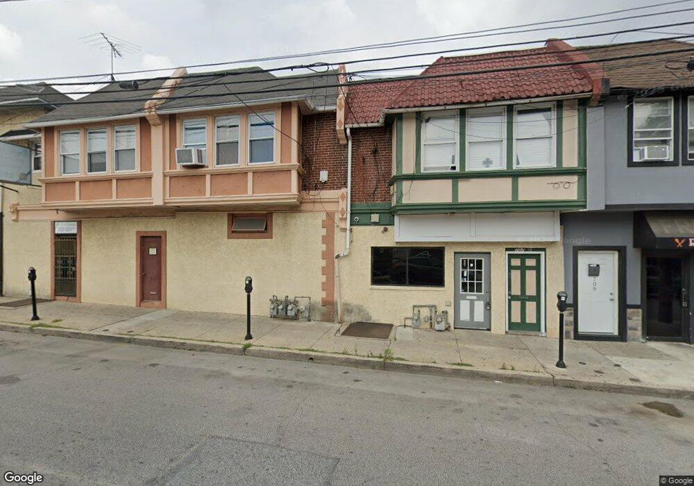
707 Long Ln Upper Darby, PA 19082
Estimated Value: $246,457
--
Bed
--
Bath
2,402
Sq Ft
$103/Sq Ft
Est. Value
About This Home
This home is located at 707 Long Ln, Upper Darby, PA 19082 and is currently priced at $246,457, approximately $102 per square foot. 707 Long Ln is a home located in Delaware County with nearby schools including Upper Darby High School, Vision Academy Charter School, and SS. Cyril & Philomena Catholic School.
Ownership History
Date
Name
Owned For
Owner Type
Purchase Details
Closed on
May 12, 2023
Sold by
Delborrello John
Bought by
Mobay Llc
Current Estimated Value
Purchase Details
Closed on
Mar 9, 1995
Sold by
Boselli William A and Boselli Michael J
Bought by
Delborrello John F
Home Financials for this Owner
Home Financials are based on the most recent Mortgage that was taken out on this home.
Original Mortgage
$55,000
Interest Rate
8.8%
Mortgage Type
Seller Take Back
Create a Home Valuation Report for This Property
The Home Valuation Report is an in-depth analysis detailing your home's value as well as a comparison with similar homes in the area
Home Values in the Area
Average Home Value in this Area
Purchase History
| Date | Buyer | Sale Price | Title Company |
|---|---|---|---|
| Mobay Llc | $100,000 | None Listed On Document | |
| Delborrello John F | $35,000 | T A Title Insurance Company |
Source: Public Records
Mortgage History
| Date | Status | Borrower | Loan Amount |
|---|---|---|---|
| Previous Owner | Delborrello John F | $55,000 |
Source: Public Records
Tax History Compared to Growth
Tax History
| Year | Tax Paid | Tax Assessment Tax Assessment Total Assessment is a certain percentage of the fair market value that is determined by local assessors to be the total taxable value of land and additions on the property. | Land | Improvement |
|---|---|---|---|---|
| 2025 | $10,224 | $241,760 | $40,780 | $200,980 |
| 2024 | $10,224 | $241,760 | $40,780 | $200,980 |
| 2023 | $10,128 | $241,760 | $40,780 | $200,980 |
| 2022 | $9,856 | $241,760 | $40,780 | $200,980 |
| 2021 | $13,289 | $241,760 | $40,780 | $200,980 |
| 2020 | $3,421 | $52,884 | $46,340 | $6,544 |
| 2019 | $3,361 | $52,884 | $46,340 | $6,544 |
| 2018 | $3,322 | $52,884 | $0 | $0 |
| 2017 | $3,236 | $52,884 | $0 | $0 |
| 2016 | $290 | $52,884 | $0 | $0 |
| 2015 | $296 | $87,400 | $0 | $0 |
| 2014 | $480 | $87,400 | $0 | $0 |
Source: Public Records
Map
Nearby Homes
- 726 Copley Rd
- 7162 Radbourne Rd
- 7216 Clinton Rd
- 7155 Radbourne Rd
- 669 Long Ln
- 7229 Clinton Rd
- 7042 Clinton Rd
- 7129 Seaford Rd
- 607 Littlecroft Rd
- 7123 Seaford Rd
- 404 Croyden Rd
- 7154 Ruskin Ln
- 7046 Radbourne Rd
- 7247 Guilford Rd
- 535 Glendale Rd
- 7181 Ruskin Ln
- 7026 Atlantic Ave
- 7000 Greenwood Ave
- 558 Snowden Rd
- 540 Snowden Rd