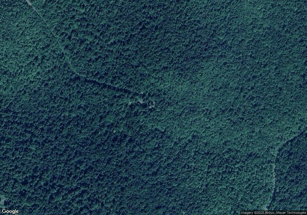
707 Mushroom Trail Marshall, AR 72650
Estimated Value: $127,323 - $234,000
--
Bed
1
Bath
784
Sq Ft
$236/Sq Ft
Est. Value
About This Home
This home is located at 707 Mushroom Trail, Marshall, AR 72650 and is currently estimated at $185,331, approximately $236 per square foot. 707 Mushroom Trail is a home located in Searcy County with nearby schools including Marshall Elementary School, Leslie Elementary School, and Marshall High School.
Ownership History
Date
Name
Owned For
Owner Type
Purchase Details
Closed on
Jul 26, 2024
Sold by
Anderson Merle and Anderson Melinda
Bought by
Grube James and Grube Traci
Current Estimated Value
Home Financials for this Owner
Home Financials are based on the most recent Mortgage that was taken out on this home.
Original Mortgage
$204,750
Outstanding Balance
$166,201
Interest Rate
6.95%
Mortgage Type
New Conventional
Estimated Equity
$19,130
Purchase Details
Closed on
Jun 17, 2019
Sold by
Anderson Neil E
Bought by
Anderson Merle and Anderson Melinda
Purchase Details
Closed on
Jul 21, 2008
Sold by
Anderson Esther
Bought by
Anderson Neil E
Purchase Details
Closed on
Jun 1, 1991
Bought by
Anderson Neil E
Create a Home Valuation Report for This Property
The Home Valuation Report is an in-depth analysis detailing your home's value as well as a comparison with similar homes in the area
Home Values in the Area
Average Home Value in this Area
Purchase History
| Date | Buyer | Sale Price | Title Company |
|---|---|---|---|
| Grube James | $273,000 | First National Title | |
| Grube James | $273,000 | First National Title | |
| Anderson Merle | -- | None Available | |
| Anderson Neil E | -- | -- | |
| Anderson Neil E | $9,000 | -- |
Source: Public Records
Mortgage History
| Date | Status | Borrower | Loan Amount |
|---|---|---|---|
| Open | Grube James | $204,750 | |
| Closed | Grube James | $204,750 |
Source: Public Records
Tax History Compared to Growth
Tax History
| Year | Tax Paid | Tax Assessment Tax Assessment Total Assessment is a certain percentage of the fair market value that is determined by local assessors to be the total taxable value of land and additions on the property. | Land | Improvement |
|---|---|---|---|---|
| 2024 | $107 | $12,250 | $2,290 | $9,960 |
| 2023 | $128 | $12,250 | $2,290 | $9,960 |
| 2022 | $128 | $12,250 | $2,290 | $9,960 |
| 2021 | $129 | $9,660 | $2,330 | $7,330 |
| 2020 | $129 | $9,660 | $2,330 | $7,330 |
| 2019 | $135 | $9,660 | $2,330 | $7,330 |
| 2018 | $135 | $9,660 | $2,330 | $7,330 |
| 2017 | $99 | $9,390 | $2,520 | $6,870 |
| 2016 | $105 | $9,390 | $2,520 | $6,870 |
| 2014 | $97 | $9,390 | $2,520 | $6,870 |
Source: Public Records
Map
Nearby Homes
- 0 Lick Fork Rd
- 2230 Browntown Rd
- TBD Lick Fork Rd
- 166 Acres Hwy 377
- 242 Ida Dr
- 0 Tbd Unit 1308620
- 1 Arkansas 16
- 00 Nickel Dr
- 12278 S Hwy 27
- 12278 Arkansas 27
- 0 Lick Fork Rd Unit 25036132
- 0 Lick Fork Rd Unit LotWP001 24664164
- 1171 Hwy 377
- 1171 Highway 377
- 662 Star Mountain Rd
- 1826 Marsena Rd
- 329 Bradley Ridge Rd
- 128 River Rd
- 1018 River Rd
- 000 W Crow Dr Hills
