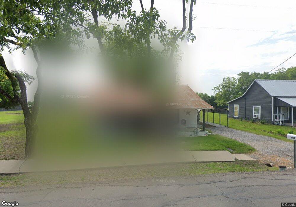
707 N Pearl St Trenton, TX 75490
Estimated Value: $117,447 - $181,000
--
Bed
--
Bath
816
Sq Ft
$170/Sq Ft
Est. Value
About This Home
This home is located at 707 N Pearl St, Trenton, TX 75490 and is currently estimated at $139,112, approximately $170 per square foot. 707 N Pearl St is a home located in Fannin County with nearby schools including Trenton Elementary School, Trenton Middle School, and Trenton High School.
Ownership History
Date
Name
Owned For
Owner Type
Purchase Details
Closed on
Aug 29, 2017
Sold by
Cameron Porter P and Cameron Patricia A
Bought by
Howell Dean and Howell Johnnie
Current Estimated Value
Home Financials for this Owner
Home Financials are based on the most recent Mortgage that was taken out on this home.
Original Mortgage
$25,000
Interest Rate
3.96%
Mortgage Type
Seller Take Back
Create a Home Valuation Report for This Property
The Home Valuation Report is an in-depth analysis detailing your home's value as well as a comparison with similar homes in the area
Home Values in the Area
Average Home Value in this Area
Purchase History
| Date | Buyer | Sale Price | Title Company |
|---|---|---|---|
| Howell Dean | -- | None Available |
Source: Public Records
Mortgage History
| Date | Status | Borrower | Loan Amount |
|---|---|---|---|
| Closed | Howell Dean | $25,000 |
Source: Public Records
Tax History Compared to Growth
Tax History
| Year | Tax Paid | Tax Assessment Tax Assessment Total Assessment is a certain percentage of the fair market value that is determined by local assessors to be the total taxable value of land and additions on the property. | Land | Improvement |
|---|---|---|---|---|
| 2025 | $516 | $103,100 | $65,970 | $37,130 |
| 2024 | $516 | $103,940 | $63,680 | $40,260 |
| 2023 | $1,006 | $100,810 | $63,870 | $36,940 |
| 2022 | $923 | $94,690 | $58,130 | $36,560 |
| 2021 | $950 | $44,500 | $14,150 | $30,350 |
| 2020 | $911 | $34,910 | $13,770 | $21,140 |
| 2019 | $868 | $30,760 | $11,090 | $19,670 |
| 2018 | $859 | $29,980 | $10,900 | $19,080 |
| 2017 | $786 | $27,540 | $10,900 | $16,640 |
| 2016 | $787 | $27,550 | $10,900 | $16,650 |
| 2015 | -- | $21,970 | $6,640 | $15,330 |
| 2014 | -- | $21,190 | $6,200 | $14,990 |
Source: Public Records
Map
Nearby Homes
- 211 Church St
- 549 Augustus St
- 513 Augustus St
- TBD N Highway 69
- 210 Carrie Mabrie St
- TBD Cr 4435
- 104 N 4th St
- 304 Kelcey Ct
- 301 Kelcey Ct
- 313 Kelcey Ct
- 118 Indian Creek
- Lot 7 Kelcey Ct
- Lot 1 Kelcey Ct
- Lot 9 Kelcey Ct
- Lot 10 Kelcey Ct
- Lot 8 Kelcey Ct
- Violet Plan at Anderson Crossing
- Dewberry II Plan at Anderson Crossing
- Magnolia III Plan at Anderson Crossing
- Spring Cress Plan at Anderson Crossing
- 710 N Pearl St
- 703 N Pearl St
- 706 N Pearl St
- 704 N Pearl St
- 106 Lincoln St
- 611 N Pearl St
- 608 N Pearl St
- 607 N Pearl St
- 702 Carrie Mabrie St
- 708 Carrie Mabrie St
- 700 Carrie Mabrie St
- TBD - 1 Route 121
- TBD Route 121
- 000 Route 121
- 118 Church St
- 608 Carrie Mabrie St
- 207 Lincoln St
- 210 Lincoln St
- 511 N Pearl St
- 711 Augustus St