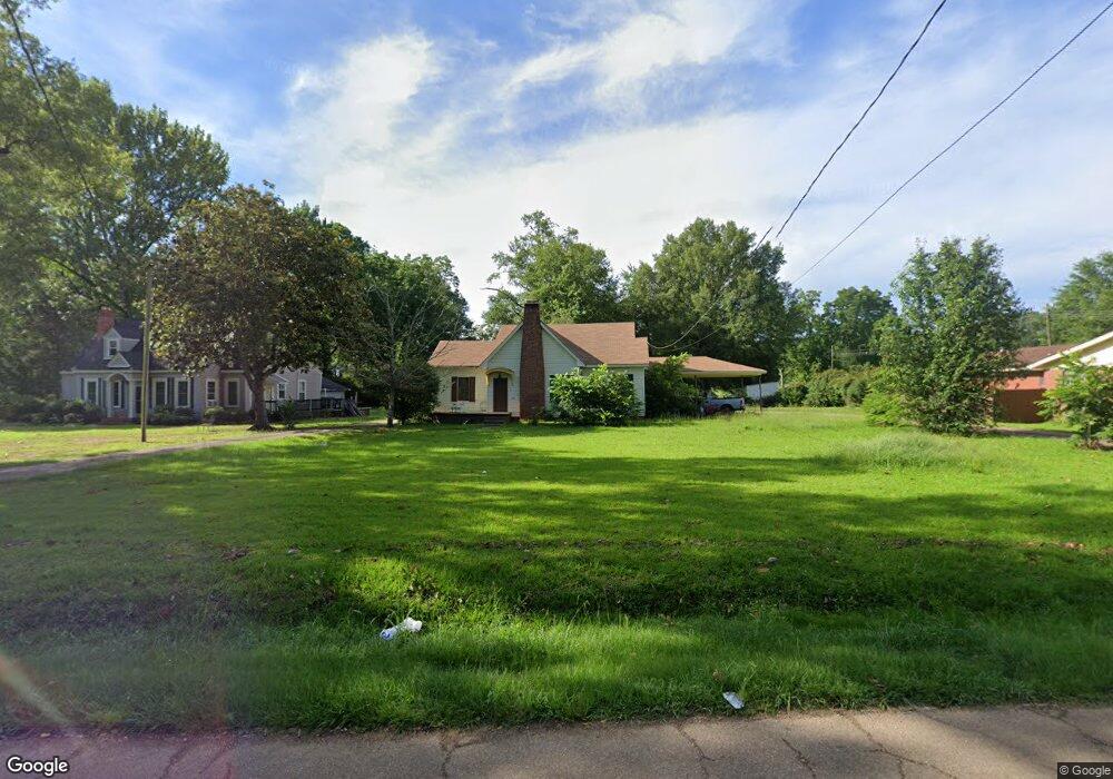
707 Old Canton Rd Carthage, MS 39051
Estimated Value: $166,000
4
Beds
2
Baths
--
Sq Ft
0.5
Acres Lot
About This Home
This home is located at 707 Old Canton Rd, Carthage, MS 39051 and is currently estimated at $166,000. 707 Old Canton Rd is a home located in Leake County with nearby schools including Leake Central Elementary, Leake Central Junior High School, and Leake Central High School.
Ownership History
Date
Name
Owned For
Owner Type
Purchase Details
Closed on
Oct 31, 2024
Sold by
Freedom Mtg Corp
Bought by
Burgess Robin L and Reid Lia M
Current Estimated Value
Purchase Details
Closed on
Sep 17, 2008
Sold by
Johnson Terry D and Carroll Josh
Bought by
Kinslow Richard A and Kinslow Sandra J
Home Financials for this Owner
Home Financials are based on the most recent Mortgage that was taken out on this home.
Original Mortgage
$91,267
Interest Rate
6.45%
Mortgage Type
Purchase Money Mortgage
Create a Home Valuation Report for This Property
The Home Valuation Report is an in-depth analysis detailing your home's value as well as a comparison with similar homes in the area
Home Values in the Area
Average Home Value in this Area
Purchase History
We collect this data history from publicly available records. To have your information removed, we recommend requesting removal directly through your county’s website.
| Date | Buyer | Sale Price | Title Company |
|---|---|---|---|
| Burgess Robin L | -- | Mortgage Connect Lp | |
| Kinslow Richard A | -- | -- |
Source: Public Records
Mortgage History
We collect this data history from publicly available records. To have your information removed, we recommend requesting removal directly through your county’s website.
| Date | Status | Borrower | Loan Amount |
|---|---|---|---|
| Previous Owner | Kinslow Richard A | $91,267 |
Source: Public Records
Tax History
| Year | Tax Paid | Tax Assessment Tax Assessment Total Assessment is a certain percentage of the fair market value that is determined by local assessors to be the total taxable value of land and additions on the property. | Land | Improvement |
|---|---|---|---|---|
| 2025 | $1,159 | $13,896 | $1,800 | $12,096 |
| 2024 | $11 | $9,264 | $1,200 | $8,064 |
| 2023 | $1,089 | $9,264 | $1,200 | $8,064 |
| 2022 | $1,075 | $9,264 | $1,200 | $8,064 |
| 2021 | $991 | $8,916 | $1,200 | $7,716 |
| 2020 | $947 | $8,923 | $1,200 | $7,723 |
| 2019 | $905 | $8,923 | $1,200 | $7,723 |
| 2018 | $869 | $8,923 | $1,200 | $7,723 |
| 2017 | $811 | $8,574 | $1,200 | $7,374 |
| 2016 | $0 | $8,128 | $1,200 | $6,928 |
| 2015 | $720 | $8,128 | $1,200 | $6,928 |
| 2014 | $720 | $8,128 | $1,200 | $6,928 |
Source: Public Records
Map
Nearby Homes
- 100 Allenwood Dr
- 00 Mississippi 35
- 272 Mississippi 35
- 0 Highway 35 N Unit 4131117
- 01 Mississippi 35
- 0 Mississippi 35
- 412 Chenoa Ave
- 305 N Pearl St
- 403 Chenoa Ave
- 104 Chessie Ln
- 100 Chessie Ln
- 102 Chessie Ln
- 00 E Main St
- 01 E Main St
- 02 E Main St
- 1302 W Highway 16
- 0 Clubview Dr Unit 4147296
- 0 Clubview Dr Unit 4147304
- 0 Clubview Dr Unit 4147297
- 113 Saint Paul St
- 709 Old Canton Rd
- 705 Old Canton Rd
- 704 Old Canton Rd
- 708 Old Canton Rd
- 711 Old Canton Rd
- 701 Old Canton Rd
- 702 Old Canton Rd
- 199 Martin Luther King Dr
- 801 Old Canton Rd
- 201 Martin Luther King Dr
- 712 Old Canton Rd
- 203 Martin Luther King Dr
- 605 Old Canton Rd
- 802 Old Canton Rd
- 803 Old Canton Rd
- 612 Old Canton Rd
- 198 Martin Luther King Dr
- 200 Martin Luther King Dr
- 202 Martin Luther King Dr
- 205 Martin Luther King Dr
Your Personal Tour Guide
Ask me questions while you tour the home.