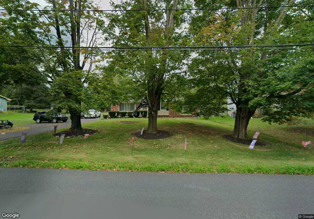
707 Park Rd Lansdale, PA 19446
Estimated Value: $504,000 - $576,000
5
Beds
3
Baths
2,660
Sq Ft
$208/Sq Ft
Est. Value
About This Home
This home is located at 707 Park Rd, Lansdale, PA 19446 and is currently estimated at $552,808, approximately $207 per square foot. 707 Park Rd is a home located in Montgomery County with nearby schools including Gwynedd Square Elementary School, Penndale Middle School, and North Penn Senior High School.
Ownership History
Date
Name
Owned For
Owner Type
Purchase Details
Closed on
Jun 10, 2004
Sold by
Brody Robert S and Brody Chris A
Bought by
Carter Katherine D M and Carter Anthony
Current Estimated Value
Home Financials for this Owner
Home Financials are based on the most recent Mortgage that was taken out on this home.
Original Mortgage
$229,500
Outstanding Balance
$114,588
Interest Rate
6.32%
Estimated Equity
$438,220
Purchase Details
Closed on
Sep 12, 1996
Sold by
Riccio Michael N and Riccio Marie P
Bought by
Brody Robert S and Brody Chris A
Create a Home Valuation Report for This Property
The Home Valuation Report is an in-depth analysis detailing your home's value as well as a comparison with similar homes in the area
Home Values in the Area
Average Home Value in this Area
Purchase History
| Date | Buyer | Sale Price | Title Company |
|---|---|---|---|
| Carter Katherine D M | $255,000 | -- | |
| Brody Robert S | $161,400 | -- |
Source: Public Records
Mortgage History
| Date | Status | Borrower | Loan Amount |
|---|---|---|---|
| Open | Carter Katherine D M | $229,500 |
Source: Public Records
Tax History Compared to Growth
Tax History
| Year | Tax Paid | Tax Assessment Tax Assessment Total Assessment is a certain percentage of the fair market value that is determined by local assessors to be the total taxable value of land and additions on the property. | Land | Improvement |
|---|---|---|---|---|
| 2025 | $5,369 | $146,350 | $47,200 | $99,150 |
| 2024 | $5,369 | $146,350 | $47,200 | $99,150 |
| 2023 | $5,118 | $146,350 | $47,200 | $99,150 |
| 2022 | $4,935 | $146,350 | $47,200 | $99,150 |
| 2021 | $4,806 | $146,350 | $47,200 | $99,150 |
| 2020 | $4,681 | $146,350 | $47,200 | $99,150 |
| 2019 | $4,595 | $146,350 | $47,200 | $99,150 |
| 2018 | $4,595 | $146,350 | $47,200 | $99,150 |
| 2017 | $4,402 | $146,350 | $47,200 | $99,150 |
| 2016 | $4,345 | $146,350 | $47,200 | $99,150 |
| 2015 | $4,148 | $146,350 | $47,200 | $99,150 |
| 2014 | $4,148 | $146,350 | $47,200 | $99,150 |
Source: Public Records
Map
Nearby Homes
- 742 Tranquility Ln
- 641 Jones Ave
- 643 Jones Ave
- 645 Jones Ave
- 4 Anglesey
- 4103 Lilac Ct
- 4204 Lilac Ct
- 4104 Lilac Ct
- 3106 Lilac Ct
- 6206 Lilac Ct
- 6103 Lilac Ct
- 5403 Lilac Ct
- 1307 Lilac Ct
- 426 Primrose Dr
- 1401 Oak Cir
- 261 Goldenrod Dr
- 2806 Morris Rd
- 10 Wheatley Walk
- 311 Primrose Dr
- 719 N Sumneytown Pike Unit 4