707 Penny Dr Stevensville, MD 21666
Estimated Value: $1,578,000 - $1,963,949
3
Beds
3
Baths
--
Sq Ft
3
Acres
About This Home
This home is located at 707 Penny Dr, Stevensville, MD 21666 and is currently estimated at $1,725,487. 707 Penny Dr is a home located in Queen Anne's County with nearby schools including Matapeake Elementary School, Matapeake Middle School, and Kent Island High School.
Ownership History
Date
Name
Owned For
Owner Type
Purchase Details
Closed on
Feb 8, 2011
Sold by
Fretz Henry S and Fretz Joan M
Bought by
Fretz Joan M
Current Estimated Value
Purchase Details
Closed on
May 10, 2005
Sold by
Campbell Lawrence J and Campbell Patricia H
Bought by
Fretz Henry S & Joan M Trustees
Purchase Details
Closed on
Nov 26, 1986
Sold by
Grote Robert E and Grote Sara E
Bought by
Campbell Lawrence J and Campbell Patricia H
Home Financials for this Owner
Home Financials are based on the most recent Mortgage that was taken out on this home.
Original Mortgage
$250,000
Interest Rate
9.64%
Create a Home Valuation Report for This Property
The Home Valuation Report is an in-depth analysis detailing your home's value as well as a comparison with similar homes in the area
Home Values in the Area
Average Home Value in this Area
Purchase History
| Date | Buyer | Sale Price | Title Company |
|---|---|---|---|
| Fretz Joan M | -- | -- | |
| Fretz Henry S & Joan M Trustees | $1,250,000 | -- | |
| Campbell Lawrence J | $425,000 | -- |
Source: Public Records
Mortgage History
| Date | Status | Borrower | Loan Amount |
|---|---|---|---|
| Previous Owner | Campbell Lawrence J | $250,000 |
Source: Public Records
Tax History Compared to Growth
Tax History
| Year | Tax Paid | Tax Assessment Tax Assessment Total Assessment is a certain percentage of the fair market value that is determined by local assessors to be the total taxable value of land and additions on the property. | Land | Improvement |
|---|---|---|---|---|
| 2025 | $12,927 | $1,365,933 | $0 | $0 |
| 2024 | $11,947 | $1,261,867 | $0 | $0 |
| 2023 | $10,966 | $1,157,800 | $653,200 | $504,600 |
| 2022 | $10,966 | $1,157,800 | $653,200 | $504,600 |
| 2021 | $11,164 | $1,157,800 | $653,200 | $504,600 |
| 2020 | $11,759 | $1,219,800 | $753,200 | $466,600 |
| 2019 | $11,740 | $1,217,800 | $0 | $0 |
| 2018 | $11,721 | $1,215,800 | $0 | $0 |
| 2017 | $11,702 | $1,213,800 | $0 | $0 |
| 2016 | -- | $1,204,067 | $0 | $0 |
| 2015 | $11,815 | $1,194,333 | $0 | $0 |
| 2014 | $11,815 | $1,184,600 | $0 | $0 |
Source: Public Records
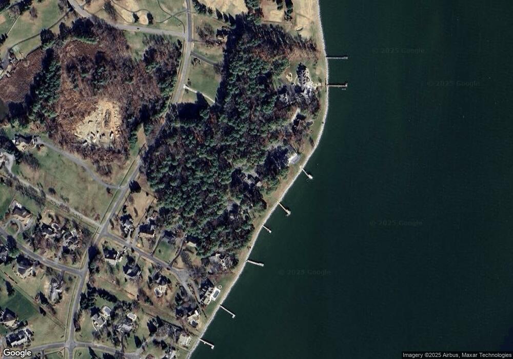
Map
Nearby Homes
- 102 Golf Ct
- 224 Long Point Rd
- 213 Pennick Dr
- 208 Long Point Rd
- 214 Pennick Dr
- 210 Pennick Dr
- 0 Ackerman Dr
- Lot 8 Ackerman Dr
- 203 Olive Branch Rd
- 123 Long Point Rd
- 9401 Romancoke Rd
- 200 Mallard Cove Ln
- Lot 1 - E/Kent Point Romancoke
- 8905 Romancoke Rd
- 114 N Lake Dr
- 312 S Lake Dr
- 145 N Lake Dr
- 118 N Lake Dr
- 208 Tower Dr
- 201 Beachside Dr
- 709 Penny Dr
- 705 Penny Dr
- 703 Penny Dr
- 109 Gray Fox Ct
- 107 Gray Fox Ct
- 105 Gray Fox Ct
- 701 Penny Dr
- 103 Gray Fox Ct
- 108 Gray Fox Ct
- 101 Gray Fox Ct
- 691 Penny Dr
- 104 Gray Fox Ct
- 106 Gray Fox Ct
- 102 Gray Fox Ct
- 100 Gray Fox Ct
- 105 Some Other Place
- 100 Windward Ct
- 103 Some Other Place
- 107 Some Other Place
- 101 Some Other Place