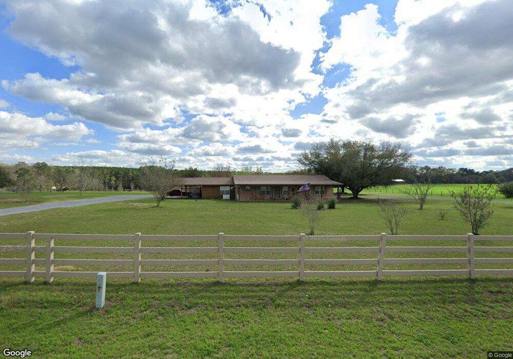
707 Punch Bowl Rd Defuniak Springs, FL 32433
Estimated Value: $278,000 - $761,445
7
Beds
3
Baths
3,691
Sq Ft
$156/Sq Ft
Est. Value
About This Home
This home is located at 707 Punch Bowl Rd, Defuniak Springs, FL 32433 and is currently estimated at $576,861, approximately $156 per square foot. 707 Punch Bowl Rd is a home located in Walton County with nearby schools including Paxton School.
Ownership History
Date
Name
Owned For
Owner Type
Purchase Details
Closed on
Dec 16, 2024
Sold by
Mitchell Lisa S and Mitchell Jamie D
Bought by
Mitchell James K and Mitchell Lisa S
Current Estimated Value
Purchase Details
Closed on
Mar 17, 2015
Sold by
Mitchell Lisa S
Bought by
Mitchell Lisa S and Mitchell Jamie D
Purchase Details
Closed on
Dec 5, 2007
Sold by
Mitchell Lisa S and Mitchell Jaime
Bought by
Mitchell Jaime and Mitchell Lisa S
Home Financials for this Owner
Home Financials are based on the most recent Mortgage that was taken out on this home.
Original Mortgage
$140,000
Interest Rate
6.22%
Mortgage Type
Purchase Money Mortgage
Create a Home Valuation Report for This Property
The Home Valuation Report is an in-depth analysis detailing your home's value as well as a comparison with similar homes in the area
Home Values in the Area
Average Home Value in this Area
Purchase History
| Date | Buyer | Sale Price | Title Company |
|---|---|---|---|
| Mitchell James K | $100 | None Listed On Document | |
| Mitchell Lisa S | -- | None Available | |
| Mitchell Jaime | $40,500 | Boston National Title & Escr |
Source: Public Records
Mortgage History
| Date | Status | Borrower | Loan Amount |
|---|---|---|---|
| Previous Owner | Mitchell Jaime | $140,000 |
Source: Public Records
Tax History Compared to Growth
Tax History
| Year | Tax Paid | Tax Assessment Tax Assessment Total Assessment is a certain percentage of the fair market value that is determined by local assessors to be the total taxable value of land and additions on the property. | Land | Improvement |
|---|---|---|---|---|
| 2024 | $1,734 | $234,329 | -- | -- |
| 2023 | $1,734 | $227,604 | $0 | $0 |
| 2022 | $1,724 | $221,452 | $0 | $0 |
| 2021 | $1,742 | $214,736 | $0 | $0 |
| 2020 | $1,771 | $216,633 | $15,220 | $201,413 |
| 2019 | $1,718 | $207,085 | $0 | $0 |
| 2018 | $1,690 | $203,287 | $0 | $0 |
| 2017 | $1,663 | $199,625 | $0 | $0 |
| 2016 | $1,642 | $195,598 | $0 | $0 |
| 2015 | $1,656 | $194,265 | $0 | $0 |
| 2014 | $1,204 | $152,679 | $0 | $0 |
Source: Public Records
Map
Nearby Homes
- 258 Briar Rd
- Tract#6201 W County Hwy 181 Unit Nat B-01
- Tract#6201 W Co Hwy 181 Nat B-01
- Tract#6201 8 Mile Cemetery Rd Unit 2
- Tract#6201 Doyle Morgan Rd
- 139 Acres Yorkey Rd
- 261 Wilkerson Rd
- Parcel B Adams Dr
- 601 Oak Grove Rd
- 7257 State Highway 153
- 1921 Adams Dr
- 0 County Highway 0605
- xx Wallace Rd
- 6455 County Highway 0605
- 0 Cuthriell Rd
- 0 Co Rd 10
- 3223 Alford Rd
- 0 Gopher Ridge Rd
- 5676 State Highway 2 W
- 11 Sandy Ramp Rd
- 634 Punch Bowl Rd
- 551 Punch Bowl Rd
- 861 Punch Bowl Rd
- 72ac. Ford Hill Rd
- 636 Punch Bowl Rd
- 319 Punch Bowl Rd
- 326 Punch Bowl Rd
- 116 Punch Bowl Rd
- 16127 State Highway 83 N
- 15975 State Highway 83
- 15965 State Highway 83 N
- 15853 State Highway 83 N
- 00 Schofield Rd
- 20-N Ac Schofield Rd
- 20-S Ac Schofield Rd
- 40 Ac Schofield Rd
- 15895 State Highway 83
- 15849 State Highway 83 N
- 16923 State Highway 83
- 17047 State Highway 83 N