Estimated Value: $341,000 - $375,000
3
Beds
2
Baths
892
Sq Ft
$399/Sq Ft
Est. Value
About This Home
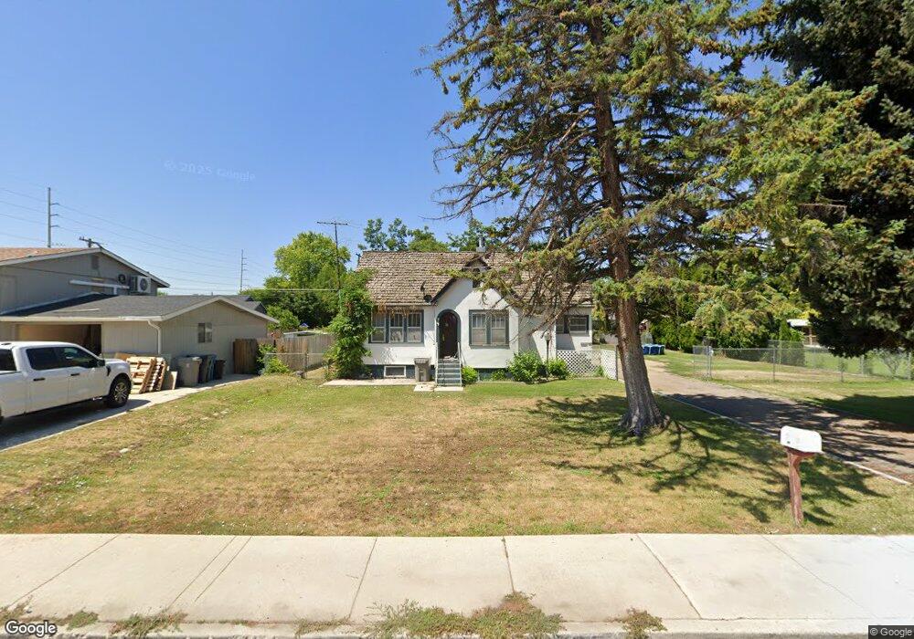
This home is located at 707 S Powerline Rd, Nampa, ID 83686 and is currently estimated at $356,203, approximately $399 per square foot. 707 S Powerline Rd is a home located in Canyon County with nearby schools including Sherman Elementary School, West Middle School, and Skyview High School.
Ownership History
Date
Name
Owned For
Owner Type
Purchase Details
Closed on
Jun 13, 2005
Sold by
Gagnon John T and Gagnon Mary J
Bought by
Nordby Isaac
Current Estimated Value
Home Financials for this Owner
Home Financials are based on the most recent Mortgage that was taken out on this home.
Original Mortgage
$80,314
Interest Rate
8.5%
Mortgage Type
Purchase Money Mortgage
Create a Home Valuation Report for This Property
The Home Valuation Report is an in-depth analysis detailing your home's value as well as a comparison with similar homes in the area
Home Values in the Area
Average Home Value in this Area
Purchase History
| Date | Buyer | Sale Price | Title Company |
|---|---|---|---|
| Nordby Isaac | -- | Title One |
Source: Public Records
Mortgage History
| Date | Status | Borrower | Loan Amount |
|---|---|---|---|
| Closed | Nordby Isaac | $80,314 |
Source: Public Records
Tax History Compared to Growth
Tax History
| Year | Tax Paid | Tax Assessment Tax Assessment Total Assessment is a certain percentage of the fair market value that is determined by local assessors to be the total taxable value of land and additions on the property. | Land | Improvement |
|---|---|---|---|---|
| 2025 | $2,165 | $316,200 | $132,000 | $184,200 |
| 2024 | $2,165 | $302,700 | $117,300 | $185,400 |
| 2023 | $2,123 | $281,800 | $117,300 | $164,500 |
| 2022 | $2,251 | $304,900 | $132,000 | $172,900 |
| 2021 | $2,547 | $216,200 | $69,000 | $147,200 |
| 2020 | $1,194 | $184,400 | $55,000 | $129,400 |
| 2019 | $2,614 | $162,900 | $47,700 | $115,200 |
| 2018 | $2,439 | $0 | $0 | $0 |
| 2017 | $2,239 | $0 | $0 | $0 |
| 2016 | $2,041 | $0 | $0 | $0 |
| 2015 | $1,837 | $0 | $0 | $0 |
| 2014 | $1,739 | $89,200 | $20,500 | $68,700 |
Source: Public Records
Map
Nearby Homes
- 520 S Powerline Rd
- 416 S Powerline Rd
- 618 Dufur St
- 1207 E Sheridan Ave
- 1115 E Clark Ave
- 216 S Powerline Rd
- 1716 Nixon Ave
- 1047 S 20th St
- 1157 S Powerline Rd
- 223 S Elder St
- 1300 Diamond Ct
- 516 20th Ave S
- 511 20th Ave S
- 2308 E Elm Grove Dr
- 712 E Sheridan Ave
- 512 19th Ave S
- 11480 W Sammi St
- 15634 N Shadow Cove Ave
- 1009 Poppy Dr
- 615 18th Ave S
- 721 S Powerline Rd
- 703 S Powerline Rd
- 1422 E Amity Ave
- 712 Almond St
- 708 Almond St
- 725 S Powerline Rd
- 704 Almond St
- 1412 E Amity Ave
- 708 S Powerline Rd
- 632 Almond St
- 623 S Powerline Rd
- 1408 E Amity Ave
- 720 S Powerline Rd
- 628 Almond St
- 1404 E Amity Ave
- 724 S Powerline Rd
- 624 Almond St
- 619 S Powerline Rd
- 628 S Powerline Rd
- 622 S Powerline Rd