707 Springer Mountain Dr Canton, GA 30114
Estimated Value: $547,000 - $836,409
2
Beds
2
Baths
2,768
Sq Ft
$250/Sq Ft
Est. Value
About This Home
This home is located at 707 Springer Mountain Dr, Canton, GA 30114 and is currently estimated at $691,705, approximately $249 per square foot. 707 Springer Mountain Dr is a home located in Cherokee County with nearby schools including R. M. Moore Elementary School, Teasley Middle School, and Cherokee High School.
Ownership History
Date
Name
Owned For
Owner Type
Purchase Details
Closed on
Nov 3, 2006
Sold by
Levitt & Sons Of Cherokee Coun
Bought by
Hopping Jayne
Current Estimated Value
Home Financials for this Owner
Home Financials are based on the most recent Mortgage that was taken out on this home.
Original Mortgage
$340,000
Outstanding Balance
$199,471
Interest Rate
6.25%
Mortgage Type
Stand Alone Second
Estimated Equity
$492,234
Create a Home Valuation Report for This Property
The Home Valuation Report is an in-depth analysis detailing your home's value as well as a comparison with similar homes in the area
Home Values in the Area
Average Home Value in this Area
Purchase History
| Date | Buyer | Sale Price | Title Company |
|---|---|---|---|
| Hopping Jayne | $372,600 | -- |
Source: Public Records
Mortgage History
| Date | Status | Borrower | Loan Amount |
|---|---|---|---|
| Open | Hopping Jayne | $340,000 |
Source: Public Records
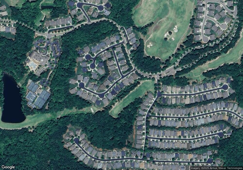
Map
Nearby Homes
- 540 Laurel Canyon Pkwy
- 507 Bonneset Ct
- 626 Laurel Crossing
- 235 Balsam Dr
- 238 Balsam Dr
- 102 Woodsdale Dr
- 523 Appalachian Woods
- 107 Mountain Laurel Ct
- 206 Woodridge Terrace
- 1111 Honeysuckle Dr
- 158 Laurel Overlook
- 206 Canyon Fairway Trace
- 601 Longleaf Way
- 105 Laurel Canyon Trail
- 319 Laurel Lookout Hills
- 310 Pepperwood Way
- 310 Hembree Hill Dr
- 236 Laurel Vista Dr
- 1255 Lakeside Overlook
- 115 Laurel View
- 709 Springer Mountain Dr
- 703 Springer Mountain Dr
- 711 Springer Mountain Dr
- 702 Springer Mountain Dr
- 704 Springer Mountain Dr
- 706 Springer Mountain Dr
- 713 Springer Mountain Dr
- 701 Springer Mountain Dr
- 800 Daicey Way
- 708 Springer Mountain Dr
- 803 Daicey Way
- 715 Springer Mountain Dr
- 802 Daicey Way
- 109 Big Meadows Dr
- 805 Daicey Way Unit 313
- 805 Daicey Way
- 710 Springer Mountain Dr
- 111 Big Meadows Dr
- 717 Springer Mountain Dr
- 108 Laurel Ridge
Your Personal Tour Guide
Ask me questions while you tour the home.