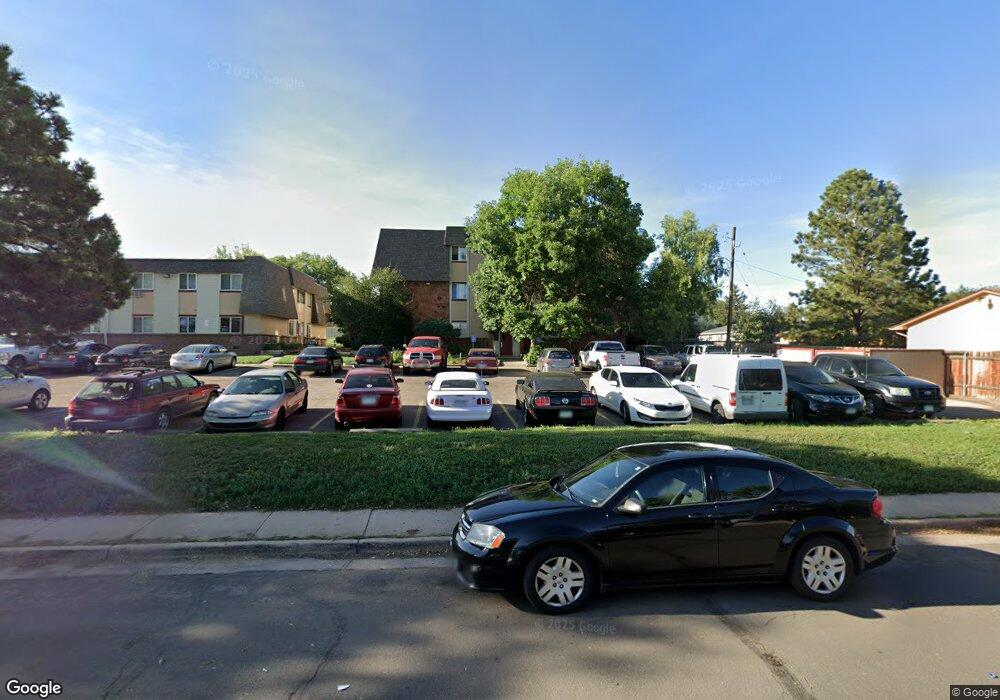
707 W 96th Ave Unit 32 Thornton, CO 80260
Estimated Value: $166,000 - $300,000
2
Beds
1
Bath
842
Sq Ft
$245/Sq Ft
Est. Value
About This Home
This home is located at 707 W 96th Ave Unit 32, Thornton, CO 80260 and is currently estimated at $206,430, approximately $245 per square foot. 707 W 96th Ave Unit 32 is a home located in Adams County with nearby schools including North Mor Elementary School, Northglenn Middle School, and Northglenn High School.
Ownership History
Date
Name
Owned For
Owner Type
Purchase Details
Closed on
Aug 14, 2001
Sold by
Meils James L
Bought by
Parker Gregory A and Parker Cherryln D
Current Estimated Value
Home Financials for this Owner
Home Financials are based on the most recent Mortgage that was taken out on this home.
Original Mortgage
$38,000
Interest Rate
8.5%
Mortgage Type
Construction
Purchase Details
Closed on
Aug 9, 2001
Sold by
Meils James L
Bought by
Meils James L
Home Financials for this Owner
Home Financials are based on the most recent Mortgage that was taken out on this home.
Original Mortgage
$38,000
Interest Rate
8.5%
Mortgage Type
Construction
Purchase Details
Closed on
Nov 20, 1996
Sold by
Meils James L
Bought by
Meils James L
Purchase Details
Closed on
Nov 20, 1995
Sold by
Meils Janice E and Meils James Lee
Bought by
Meils James L and Meils Janice E
Create a Home Valuation Report for This Property
The Home Valuation Report is an in-depth analysis detailing your home's value as well as a comparison with similar homes in the area
Home Values in the Area
Average Home Value in this Area
Purchase History
| Date | Buyer | Sale Price | Title Company |
|---|---|---|---|
| Parker Gregory A | $45,000 | Universal Land Title | |
| Meils James L | -- | -- | |
| Meils James L | -- | -- | |
| Meils James L | -- | -- |
Source: Public Records
Mortgage History
| Date | Status | Borrower | Loan Amount |
|---|---|---|---|
| Closed | Parker Gregory A | $38,000 |
Source: Public Records
Tax History
| Year | Tax Paid | Tax Assessment Tax Assessment Total Assessment is a certain percentage of the fair market value that is determined by local assessors to be the total taxable value of land and additions on the property. | Land | Improvement |
|---|---|---|---|---|
| 2025 | $945 | $12,650 | $2,720 | $9,930 |
| 2024 | $945 | $11,630 | $2,500 | $9,130 |
| 2023 | $935 | $13,860 | $1,620 | $12,240 |
| 2022 | $1,000 | $9,080 | $1,670 | $7,410 |
| 2021 | $1,033 | $9,080 | $1,670 | $7,410 |
| 2020 | $1,031 | $9,240 | $1,720 | $7,520 |
| 2019 | $1,033 | $9,240 | $1,720 | $7,520 |
| 2018 | $681 | $5,920 | $230 | $5,690 |
| 2017 | $619 | $5,920 | $230 | $5,690 |
| 2016 | $423 | $3,940 | $250 | $3,690 |
| 2015 | $423 | $3,940 | $250 | $3,690 |
| 2014 | -- | $2,900 | $250 | $2,650 |
Source: Public Records
Map
Nearby Homes
- 8910 Fox St Unit 14
- 707 W 96th Ave Unit 28
- 707 W 96th Ave Unit 2
- 9650 Huron St Unit 21
- 9585 Damon Dr
- 9465 Damon Dr
- 9423 Lou Dr
- 302 Melody Dr
- 1024 W 97th Ave
- 9781 Melody Dr
- 9931 Clark Dr
- 1187 W 95th Place
- 9830 Croke Dr
- 9648 Lane St
- 9769 Croke Dr
- 9775 Croke Dr
- 9759 Lane St Unit 2718
- 9842 Lane St
- 9848 Lane St
- 9857 Lane St
- 707 W 96th Ave Unit 36
- 707 W 96th Ave Unit 35
- 707 W 96th Ave Unit 34
- 707 W 96th Ave Unit 33
- 707 W 96th Ave Unit 31
- 707 W 96th Ave Unit 30
- 707 W 96th Ave Unit 29
- 707 W 96th Ave Unit 27
- 707 W 96th Ave Unit 26
- 707 W 96th Ave Unit 25
- 707 W 96th Ave Unit 24
- 707 W 96th Ave Unit 23
- 707 W 96th Ave Unit 22
- 707 W 96th Ave Unit 21
- 707 W 96th Ave Unit 20
- 707 W 96th Ave Unit 19
- 707 W 96th Ave Unit 18
- 707 W 96th Ave Unit 17
- 707 W 96th Ave Unit 16
- 707 W 96th Ave Unit 15
Your Personal Tour Guide
Ask me questions while you tour the home.