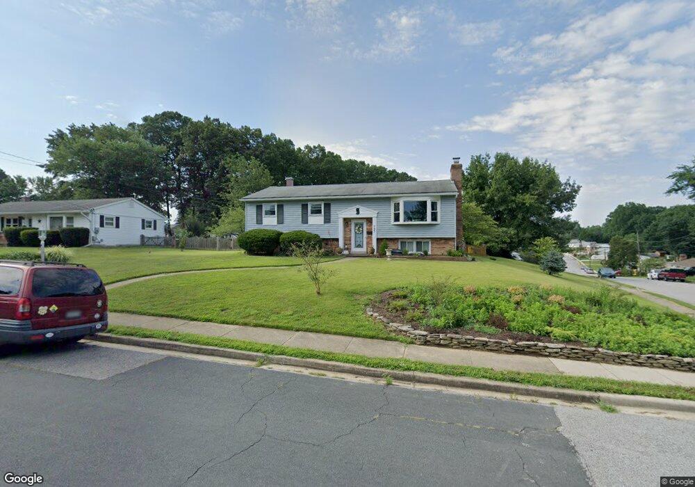
707 W Maple Rd Linthicum Heights, MD 21090
Estimated Value: $472,056 - $544,000
3
Beds
2
Baths
2,264
Sq Ft
$217/Sq Ft
Est. Value
About This Home
This home is located at 707 W Maple Rd, Linthicum Heights, MD 21090 and is currently estimated at $491,764, approximately $217 per square foot. 707 W Maple Rd is a home located in Anne Arundel County with nearby schools including Linthicum Elementary School, Lindale Middle School, and North County High School.
Ownership History
Date
Name
Owned For
Owner Type
Purchase Details
Closed on
Jun 17, 2009
Sold by
Turner Roger G
Bought by
Heinemann Erik S and Janyska Julie M
Current Estimated Value
Home Financials for this Owner
Home Financials are based on the most recent Mortgage that was taken out on this home.
Original Mortgage
$265,500
Outstanding Balance
$168,380
Interest Rate
4.92%
Mortgage Type
Purchase Money Mortgage
Estimated Equity
$323,384
Purchase Details
Closed on
Mar 1, 2002
Sold by
Gribben Donald L
Bought by
Turner Roger G
Purchase Details
Closed on
Dec 1, 1994
Sold by
Mckinney Anne D
Bought by
Gribben Donald L
Home Financials for this Owner
Home Financials are based on the most recent Mortgage that was taken out on this home.
Original Mortgage
$136,800
Interest Rate
8.81%
Create a Home Valuation Report for This Property
The Home Valuation Report is an in-depth analysis detailing your home's value as well as a comparison with similar homes in the area
Home Values in the Area
Average Home Value in this Area
Purchase History
| Date | Buyer | Sale Price | Title Company |
|---|---|---|---|
| Heinemann Erik S | $295,000 | -- | |
| Turner Roger G | $209,000 | -- | |
| Gribben Donald L | $152,000 | -- |
Source: Public Records
Mortgage History
| Date | Status | Borrower | Loan Amount |
|---|---|---|---|
| Open | Heinemann Erik S | $265,500 | |
| Previous Owner | Gribben Donald L | $136,800 | |
| Closed | Turner Roger G | -- |
Source: Public Records
Tax History
| Year | Tax Paid | Tax Assessment Tax Assessment Total Assessment is a certain percentage of the fair market value that is determined by local assessors to be the total taxable value of land and additions on the property. | Land | Improvement |
|---|---|---|---|---|
| 2025 | $4,054 | $378,100 | $199,900 | $178,200 |
| 2024 | $4,054 | $361,467 | $0 | $0 |
Source: Public Records
Map
Nearby Homes
- 763 Hawthorne Rd
- 526 Hawthorne Rd
- 520 Cleveland Rd
- 612 Fairmount Rd
- 536 Forest View Rd
- 440 Cleveland Rd
- 533 Forest View Rd
- 607 Brentwood Rd
- 105 Michael Ave
- 312 N Hammonds Ferry Rd
- 602 S Hammonds Ferry Rd
- 102 Catalpa Rd
- 518 N Rd
- 322 Cheddington Rd
- 206 Cheddington Rd
- 314 Church Cir
- 100 Governors Gate Ln
- 1125 Furnace Rd
- 404 Homewood Rd
- 201 Hance Ave
- 705 W Maple Rd
- 6211 Woodland Rd
- 703 W Maple Rd
- 6220 Woodland Rd
- 6224 Woodland Rd
- 706 W Maple Rd
- 6213 Woodland Rd
- 6218 Woodland Rd
- 6226 Woodland Rd
- 6212 Groveland Rd
- 704 W Maple Rd
- 701 W Maple Rd
- 6214 Groveland Rd
- 6215 Woodland Rd
- 6216 Woodland Rd
- 6228 Woodland Rd
- 702 W Maple Rd
- 6209 Woodland Rd
- 6216 Groveland Rd
- 6230 Woodland Rd
Your Personal Tour Guide
Ask me questions while you tour the home.