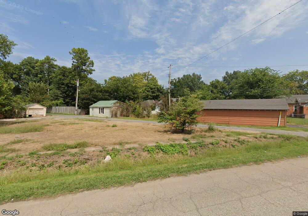
707 Walnut St Newport, AR 72112
Estimated Value: $38,000 - $80,606
3
Beds
2
Baths
1,665
Sq Ft
$38/Sq Ft
Est. Value
About This Home
This home is located at 707 Walnut St, Newport, AR 72112 and is currently estimated at $63,152, approximately $37 per square foot. 707 Walnut St is a home located in Jackson County with nearby schools including Newport Elementary School and Newport High School.
Ownership History
Date
Name
Owned For
Owner Type
Purchase Details
Closed on
Jul 20, 2015
Bought by
M & F Properties Llc
Current Estimated Value
Purchase Details
Closed on
Jul 29, 2010
Bought by
M & F Properties Llc
Purchase Details
Closed on
Nov 6, 2009
Bought by
Bank Of America, N A
Purchase Details
Closed on
Sep 9, 2009
Bought by
Federal National Mortgagae Assoc
Purchase Details
Closed on
Jul 17, 2009
Bought by
Financial Freedom and C
Purchase Details
Closed on
Feb 3, 1984
Bought by
Hatchett Norene
Create a Home Valuation Report for This Property
The Home Valuation Report is an in-depth analysis detailing your home's value as well as a comparison with similar homes in the area
Home Values in the Area
Average Home Value in this Area
Purchase History
| Date | Buyer | Sale Price | Title Company |
|---|---|---|---|
| M & F Properties Llc | -- | -- | |
| M & F Properties Llc | $18,000 | -- | |
| Bank Of America, N A | -- | -- | |
| Federal National Mortgagae Assoc | -- | -- | |
| Financial Freedom | $64,000 | -- | |
| Hatchett Norene | $57,500 | -- |
Source: Public Records
Tax History Compared to Growth
Tax History
| Year | Tax Paid | Tax Assessment Tax Assessment Total Assessment is a certain percentage of the fair market value that is determined by local assessors to be the total taxable value of land and additions on the property. | Land | Improvement |
|---|---|---|---|---|
| 2024 | $373 | $9,000 | $400 | $8,600 |
| 2023 | $339 | $7,450 | $400 | $7,050 |
| 2022 | $330 | $7,450 | $400 | $7,050 |
| 2021 | $302 | $7,450 | $400 | $7,050 |
| 2020 | $280 | $7,450 | $400 | $7,050 |
| 2019 | $257 | $7,450 | $400 | $7,050 |
| 2018 | $222 | $4,350 | $400 | $3,950 |
| 2017 | $222 | $4,350 | $400 | $3,950 |
| 2015 | -- | $4,350 | $400 | $3,950 |
| 2014 | -- | $4,350 | $400 | $3,950 |
| 2013 | -- | $5,500 | $800 | $4,700 |
| 2012 | -- | $5,500 | $800 | $4,700 |
Source: Public Records
Map
Nearby Homes
- 418 Pine St
- 315 Pine St
- 304 Ash St
- 318 Wilkerson Dr
- 000 Forrest Dr
- 1016 Front St
- 208 Forrest Dr
- 623 Holden Ave
- 604 Mclain St
- 900 Dill St
- 910 & 914 Dill St
- 721 Mclain St
- 4 Virginia Rd
- 0 Holmes St Unit 25033630
- 0 Holmes St Unit 25-486
- 900 Josephine St
- 1311 Dill St
- 1407 Dill St
- 203 Alice Ct
- 504 S State St