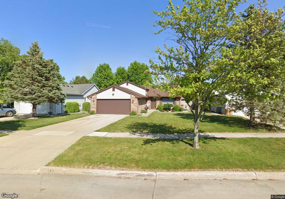
708 Crest Ln Monroe, MI 48162
Northwest Monroe NeighborhoodEstimated Value: $268,107 - $353,000
3
Beds
2
Baths
1,780
Sq Ft
$178/Sq Ft
Est. Value
About This Home
This home is located at 708 Crest Ln, Monroe, MI 48162 and is currently estimated at $316,777, approximately $177 per square foot. 708 Crest Ln is a home located in Monroe County with nearby schools including Monroe High School, St Mary's Catholic Elementary School, and Zion Lutheran School.
Ownership History
Date
Name
Owned For
Owner Type
Purchase Details
Closed on
Apr 8, 1998
Sold by
Prater Chad C
Bought by
Irwin Rodney R and Irwin Jennifer L
Current Estimated Value
Home Financials for this Owner
Home Financials are based on the most recent Mortgage that was taken out on this home.
Original Mortgage
$105,000
Outstanding Balance
$20,229
Interest Rate
7.27%
Mortgage Type
New Conventional
Estimated Equity
$296,548
Purchase Details
Closed on
Nov 20, 1995
Sold by
Tyra Gerald
Bought by
Prater Chad C and Prater Kristi L
Home Financials for this Owner
Home Financials are based on the most recent Mortgage that was taken out on this home.
Original Mortgage
$100,000
Interest Rate
7.56%
Mortgage Type
New Conventional
Create a Home Valuation Report for This Property
The Home Valuation Report is an in-depth analysis detailing your home's value as well as a comparison with similar homes in the area
Home Values in the Area
Average Home Value in this Area
Purchase History
| Date | Buyer | Sale Price | Title Company |
|---|---|---|---|
| Irwin Rodney R | $140,000 | -- | |
| Prater Chad C | $145,000 | -- |
Source: Public Records
Mortgage History
| Date | Status | Borrower | Loan Amount |
|---|---|---|---|
| Open | Irwin Rodney R | $105,000 | |
| Previous Owner | Prater Chad C | $100,000 |
Source: Public Records
Tax History
| Year | Tax Paid | Tax Assessment Tax Assessment Total Assessment is a certain percentage of the fair market value that is determined by local assessors to be the total taxable value of land and additions on the property. | Land | Improvement |
|---|---|---|---|---|
| 2025 | $2,558 | $131,400 | $131,400 | $0 |
| 2024 | $2,442 | $127,690 | $0 | $0 |
| 2023 | $2,335 | $98,920 | $0 | $0 |
| 2022 | $3,110 | $98,920 | $0 | $0 |
| 2021 | $3,004 | $98,060 | $0 | $0 |
| 2020 | $2,798 | $89,490 | $0 | $0 |
| 2019 | $2,652 | $89,490 | $0 | $0 |
| 2018 | $2,577 | $80,760 | $0 | $0 |
| 2017 | $2,523 | $80,760 | $0 | $0 |
| 2016 | $2,462 | $77,330 | $0 | $0 |
| 2015 | $2,363 | $70,210 | $0 | $0 |
| 2014 | $2,363 | $70,210 | $0 | $0 |
| 2013 | -- | $65,280 | $0 | $0 |
Source: Public Records
Map
Nearby Homes
- 734 Central Park Blvd
- 505 John Anderson Ct Unit 62
- 664 Central Park Blvd
- 704 N Telegraph Rd
- 1015 Donnalee Dr
- 568 Rose Crest Blvd
- 720 Saint Anne Ln
- 202 Orleans Ave
- 745 N Roessler St
- 510 Ave de Lafayette
- 445 Toll St
- 800 N Roessler St
- 1234 John L Dr
- 0 N Telegraph Rd Unit 31361948
- 0 N Telegraph Rd Unit 20230102531
- 0 N Telegraph Rd Unit 50199091
- 381 Armitage Dr
- 0 Stewart Rd Unit 50197056
- 540 S Concetta Common
- 1724 S Custer Rd
- 704 Crest Ln
- 712 Crest Ln
- 700 Crest Ln
- 705 Crest Ln
- 709 Crest Ln
- 652 John Rolfe Dr
- 664 John Rolfe Dr
- 1631 Fredericks Dr
- 648 John Rolfe Dr
- 668 John Rolfe Dr
- 1635 Fredericks Dr
- 644 John Rolfe Dr
- 674 John Rolfe Dr
- 659 John Rolfe Dr
- 647 John Rolfe Dr
- 1639 Fredericks Dr
- 638 John Rolfe Dr
- 680 John Rolfe Dr
- 612 John Anderson Ct Unit 11
- 612 John Anderson Ct Unit 10
Your Personal Tour Guide
Ask me questions while you tour the home.