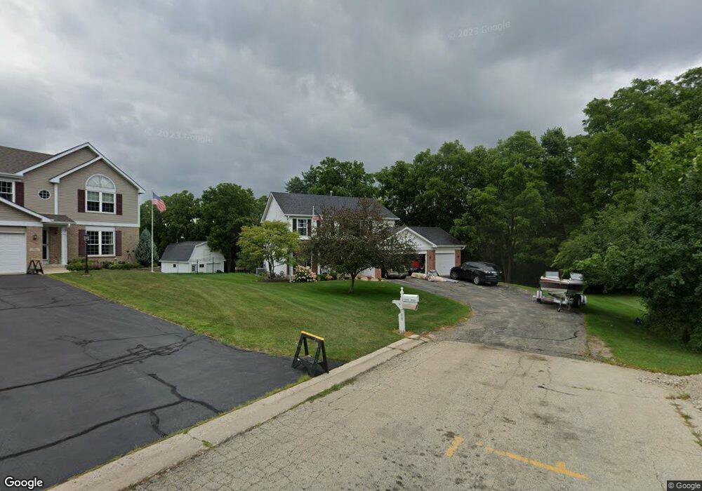
708 Deerpath Rd Harvard, IL 60033
Estimated Value: $235,000 - $359,000
Studio
--
Bath
--
Sq Ft
18,818
Sq Ft Lot
About This Home
This home is located at 708 Deerpath Rd, Harvard, IL 60033 and is currently estimated at $297,911. 708 Deerpath Rd is a home located in McHenry County with nearby schools including Jefferson Elementary School, Crosby Elementary School, and Harvard Junior High School.
Ownership History
Date
Name
Owned For
Owner Type
Purchase Details
Closed on
Dec 5, 2023
Sold by
Kurth Scott A and Kurth Sherry L
Bought by
Ss Kurth Family Revocable Trust and Kurth
Current Estimated Value
Purchase Details
Closed on
Aug 6, 1999
Sold by
R & H Constructioni Inc
Bought by
Kurth Scott A and Kurth Sherry L
Home Financials for this Owner
Home Financials are based on the most recent Mortgage that was taken out on this home.
Original Mortgage
$150,000
Interest Rate
7.77%
Create a Home Valuation Report for This Property
The Home Valuation Report is an in-depth analysis detailing your home's value as well as a comparison with similar homes in the area
Home Values in the Area
Average Home Value in this Area
Purchase History
| Date | Buyer | Sale Price | Title Company |
|---|---|---|---|
| Ss Kurth Family Revocable Trust | -- | None Listed On Document | |
| Kurth Scott A | $185,500 | Northland Title Llc |
Source: Public Records
Mortgage History
| Date | Status | Borrower | Loan Amount |
|---|---|---|---|
| Previous Owner | Kurth Scott A | $150,000 |
Source: Public Records
Tax History
| Year | Tax Paid | Tax Assessment Tax Assessment Total Assessment is a certain percentage of the fair market value that is determined by local assessors to be the total taxable value of land and additions on the property. | Land | Improvement |
|---|---|---|---|---|
| 2024 | $6,556 | $89,129 | $12,241 | $76,888 |
| 2023 | $6,097 | $80,572 | $11,066 | $69,506 |
| 2022 | $6,932 | $76,479 | $11,066 | $65,413 |
| 2021 | $6,608 | $71,222 | $10,305 | $60,917 |
| 2020 | $6,457 | $67,805 | $9,811 | $57,994 |
| 2019 | $6,120 | $63,452 | $9,181 | $54,271 |
| 2018 | $6,686 | $65,651 | $9,182 | $56,469 |
| 2017 | $5,758 | $59,151 | $8,273 | $50,878 |
| 2016 | $5,535 | $55,834 | $7,809 | $48,025 |
| 2013 | -- | $50,923 | $7,822 | $43,101 |
Source: Public Records
Map
Nearby Homes
- 0000 N Division St
- 907 Obrien St
- 41.94 Acres US Highway 14
- 0 Us Highway 14
- 703 Lincoln St
- 1514 Sage Ln
- 1518 Sage Ln
- 1510 Sage Ln
- 2002 Hillsboro Ln
- 000 Hillsboro Ln
- 1511 6th St
- 1507 6th St
- 1516 6th St
- 1512 6th St
- 403 Garfield St
- 203 W Brown St
- 307 Grant St
- 715 Apple Valley Rd
- 305 Garfield St
- 20519 Illinois 173
- 706 Deerpath Rd
- 704 Deerpath Rd
- 1509 Pheasant Run Rd
- 702 Deerpath Rd
- 1507 Pheasant Run Rd
- 600 Deerpath Rd
- 700 Deerpath Rd
- 1505 Pheasant Run Rd
- 1508 Pheasant Run Rd
- 610 Deerpath Rd
- 1504 Pheasant Run Rd
- 1503 Pheasant Run Rd
- 602 Deerpath Rd
- 608 Deerpath Rd
- 604 Deerpath Rd
- 1501 Pheasant Run Rd
- 606 Deerpath Rd
- 1502 Pheasant Run Rd
- 608 Old Orchard Rd
- 707 Old Orchard Rd
Your Personal Tour Guide
Ask me questions while you tour the home.