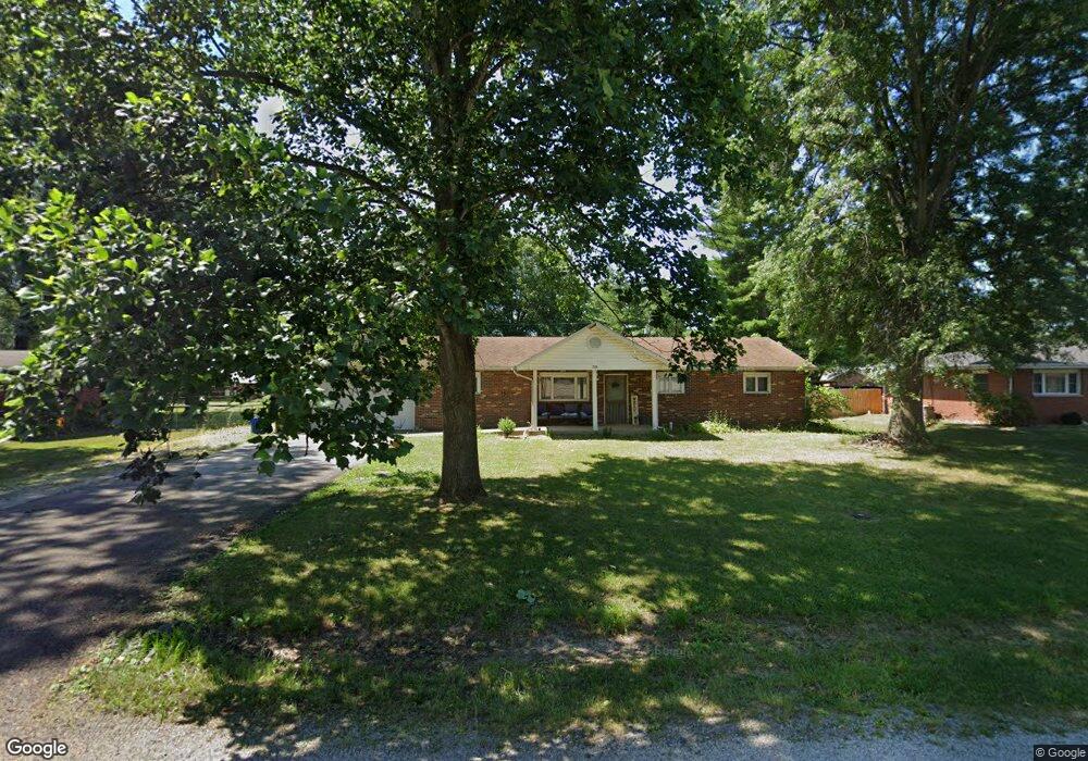
708 E John St Bunker Hill, IL 62014
Estimated Value: $179,000 - $295,000
4
Beds
2
Baths
1,456
Sq Ft
$145/Sq Ft
Est. Value
About This Home
This home is located at 708 E John St, Bunker Hill, IL 62014 and is currently estimated at $211,241, approximately $145 per square foot. 708 E John St is a home located in Macoupin County with nearby schools including Wolf Ridge Elementary School, Wolf Ridge Junior High School, and Bunker Hill High School.
Ownership History
Date
Name
Owned For
Owner Type
Purchase Details
Closed on
Jun 3, 2022
Sold by
Spraggs James A and Spraggs Heather N
Bought by
Spraggs Abby N
Current Estimated Value
Home Financials for this Owner
Home Financials are based on the most recent Mortgage that was taken out on this home.
Original Mortgage
$108,872
Outstanding Balance
$103,574
Interest Rate
5.25%
Mortgage Type
FHA
Estimated Equity
$107,667
Purchase Details
Closed on
Nov 1, 2010
Bought by
Spraggs James and Spraggs Heather
Create a Home Valuation Report for This Property
The Home Valuation Report is an in-depth analysis detailing your home's value as well as a comparison with similar homes in the area
Purchase History
| Date | Buyer | Sale Price | Title Company |
|---|---|---|---|
| Spraggs Abby N | -- | Serenity Title | |
| Spraggs James | $107,000 | -- |
Source: Public Records
Mortgage History
| Date | Status | Borrower | Loan Amount |
|---|---|---|---|
| Open | Spraggs Abby N | $108,872 |
Source: Public Records
Tax History
| Year | Tax Paid | Tax Assessment Tax Assessment Total Assessment is a certain percentage of the fair market value that is determined by local assessors to be the total taxable value of land and additions on the property. | Land | Improvement |
|---|---|---|---|---|
| 2024 | $3,559 | $54,092 | $4,661 | $49,431 |
| 2023 | $3,313 | $50,085 | $4,316 | $45,769 |
| 2022 | $3,313 | $46,809 | $4,034 | $42,775 |
| 2021 | $3,009 | $49,747 | $3,770 | $45,977 |
| 2020 | $2,945 | $47,271 | $3,557 | $43,714 |
| 2019 | $2,916 | $41,271 | $3,557 | $37,714 |
| 2018 | $2,802 | $41,271 | $0 | $0 |
| 2017 | $2,644 | $41,271 | $3,557 | $37,714 |
| 2016 | $2,493 | $39,306 | $3,388 | $35,918 |
| 2015 | $2,578 | $39,306 | $3,388 | $35,918 |
| 2014 | $2,581 | $39,306 | $3,388 | $35,918 |
| 2013 | $2,454 | $39,306 | $3,388 | $35,918 |
Source: Public Records
Map
Nearby Homes
- 802 E Pleasant St
- 800 W Warren St
- 10 Erica Ln
- 213 W Alton St
- 8104 Brighton Bunker Hill Rd
- 8222 Detour Rd
- 285 Schwinn Ln
- 255 Tanoak Ave
- 905 Dean St
- TBD Lot 37
- 312 School St
- 100 School St
- 101 Mor
- TBD Illinois 138
- TBD Helmut St
- 5251 Miles Station Rd
- 8711 7 Hills Dr
- # Windy Hill Rd
- 398 Dorsey Rd
- 104 Mine Rd
- 714 E John St
- 700 E John St
- 627 E Warren St
- 718 E John St
- 201 N Lincoln St
- 715 E John St
- 631 E Warren St
- 205 N Lincoln St
- 204 N Marion St
- 802 E John St
- 200 N Lincoln St
- 645 E Warren St
- 208 N Marion St
- 206 N Lincoln St
- 201 N Marion St
- 808 E John St
- 115 N Union St
- 203 N Union St
- 215 N Lincoln St
- 210 N Lincoln St
Your Personal Tour Guide
Ask me questions while you tour the home.