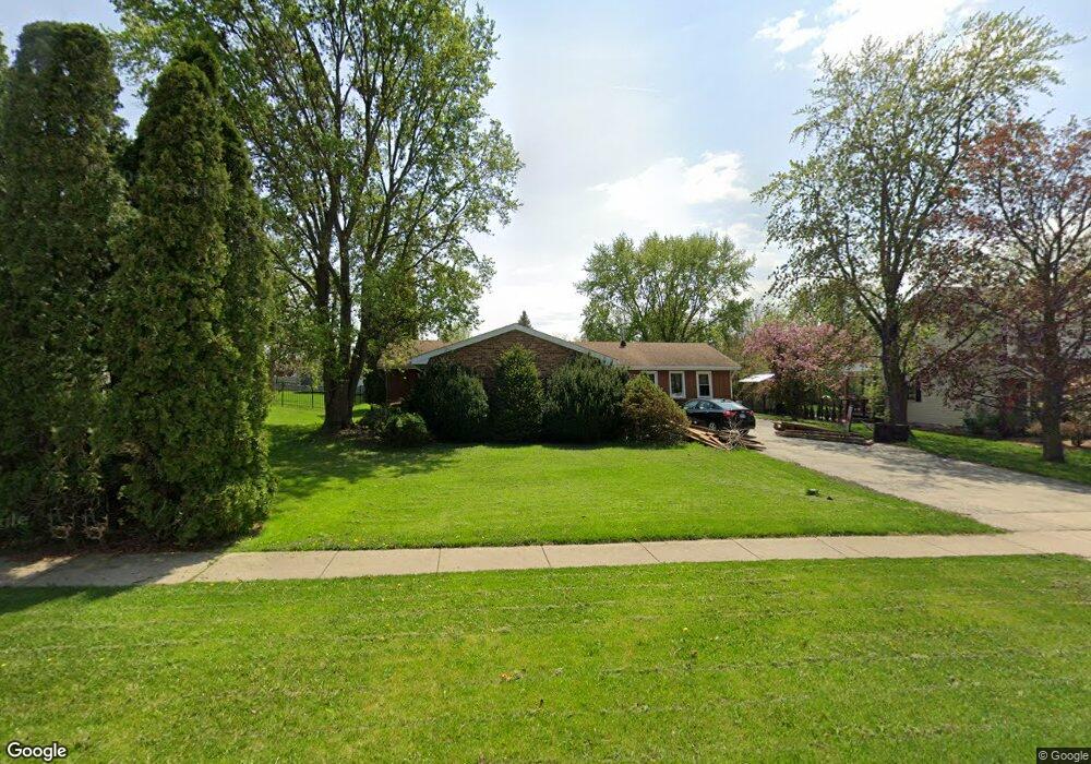
708 E Joliet Hwy Unit 1 New Lenox, IL 60451
Estimated Value: $345,122 - $397,000
3
Beds
2
Baths
1,500
Sq Ft
$245/Sq Ft
Est. Value
About This Home
This home is located at 708 E Joliet Hwy Unit 1, New Lenox, IL 60451 and is currently estimated at $366,781, approximately $244 per square foot. 708 E Joliet Hwy Unit 1 is a home located in Will County with nearby schools including Bentley Elementary School, Arnold J Tyler School, and Alex M Martino Jr High School.
Ownership History
Date
Name
Owned For
Owner Type
Purchase Details
Closed on
Feb 24, 2025
Sold by
Pate Patrick C
Bought by
Patrick C Pate Trust and Pate
Current Estimated Value
Purchase Details
Closed on
Sep 30, 1996
Sold by
Hood Richard E and Hood Nancy E
Bought by
Pate Patrick C and Pate Connie L
Home Financials for this Owner
Home Financials are based on the most recent Mortgage that was taken out on this home.
Original Mortgage
$106,000
Interest Rate
8.14%
Create a Home Valuation Report for This Property
The Home Valuation Report is an in-depth analysis detailing your home's value as well as a comparison with similar homes in the area
Home Values in the Area
Average Home Value in this Area
Purchase History
| Date | Buyer | Sale Price | Title Company |
|---|---|---|---|
| Patrick C Pate Trust | -- | None Listed On Document | |
| Pate Patrick C | $132,500 | Attorneys Title Guaranty Fun |
Source: Public Records
Mortgage History
| Date | Status | Borrower | Loan Amount |
|---|---|---|---|
| Previous Owner | Pate Patrick C | $106,000 |
Source: Public Records
Tax History Compared to Growth
Tax History
| Year | Tax Paid | Tax Assessment Tax Assessment Total Assessment is a certain percentage of the fair market value that is determined by local assessors to be the total taxable value of land and additions on the property. | Land | Improvement |
|---|---|---|---|---|
| 2024 | $6,724 | $98,851 | $28,161 | $70,690 |
| 2023 | $6,724 | $90,110 | $25,671 | $64,439 |
| 2022 | $5,562 | $83,012 | $23,649 | $59,363 |
| 2021 | $5,634 | $78,070 | $22,241 | $55,829 |
| 2020 | $6,131 | $75,284 | $21,447 | $53,837 |
| 2019 | $5,863 | $72,950 | $20,782 | $52,168 |
| 2018 | $5,722 | $70,436 | $20,066 | $50,370 |
| 2017 | $5,432 | $68,411 | $19,489 | $48,922 |
| 2016 | $5,269 | $66,580 | $18,967 | $47,613 |
| 2015 | $5,094 | $64,484 | $18,370 | $46,114 |
| 2014 | $5,094 | $63,688 | $18,143 | $45,545 |
| 2013 | $5,094 | $64,547 | $18,388 | $46,159 |
Source: Public Records
Map
Nearby Homes
- 235 Roberts Rd
- 203 Tonell Ave
- 920 Barnside Rd
- 117 Walona Ave
- 513 Somerset Ln
- 805 Regent St
- 328 E Lincoln Hwy
- 1017 E Lincoln Hwy
- 718 S Prairie Rd
- 00 NE Corner Cherry Hill Road and Moss Lane Rd
- 125 N Anderson Rd
- 315 S Pine St
- 214 Somerset Ct
- 202 Hickory St
- 1139 Georgias Way
- 1125 Georgias Way
- 1535 Glenbrooke Ln
- 1000 S Cedar Rd
- 1212 Georgias Way
- 1193 Georgias Way