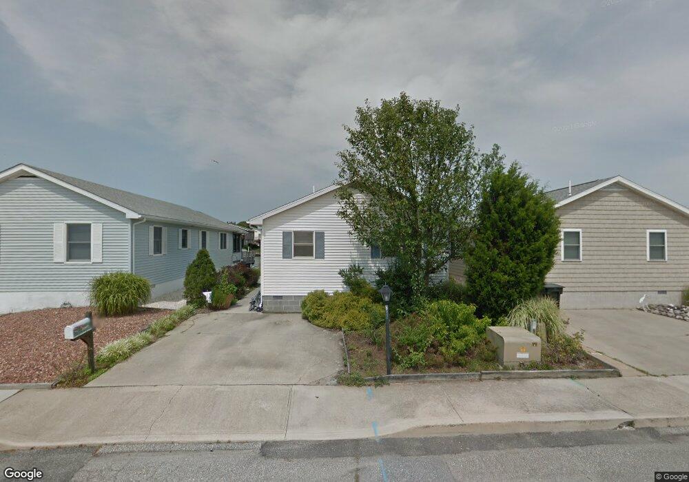
708 Gulf Stream Dr Ocean City, MD 21842
Estimated Value: $634,000 - $763,000
--
Bed
2
Baths
1,344
Sq Ft
$518/Sq Ft
Est. Value
About This Home
This home is located at 708 Gulf Stream Dr, Ocean City, MD 21842 and is currently estimated at $696,651, approximately $518 per square foot. 708 Gulf Stream Dr is a home located in Worcester County with nearby schools including Ocean City Elementary School, Stephen Decatur Middle School, and Berlin Intermediate School.
Ownership History
Date
Name
Owned For
Owner Type
Purchase Details
Closed on
Jul 14, 1998
Sold by
Leddy Patrick T and Leddy Joan M
Bought by
Banks Lois
Current Estimated Value
Purchase Details
Closed on
Mar 4, 1992
Sold by
Wentz William Warren and Wentz Kathleen A
Bought by
Leddy Patrick T and Leddy Joan M
Home Financials for this Owner
Home Financials are based on the most recent Mortgage that was taken out on this home.
Original Mortgage
$103,000
Interest Rate
8.83%
Purchase Details
Closed on
Oct 26, 1988
Sold by
Ocean Development Corp
Bought by
Wentz William Warren and Wentz Kathleen A
Home Financials for this Owner
Home Financials are based on the most recent Mortgage that was taken out on this home.
Original Mortgage
$55,000
Interest Rate
10.28%
Create a Home Valuation Report for This Property
The Home Valuation Report is an in-depth analysis detailing your home's value as well as a comparison with similar homes in the area
Home Values in the Area
Average Home Value in this Area
Purchase History
| Date | Buyer | Sale Price | Title Company |
|---|---|---|---|
| Banks Lois | $184,000 | -- | |
| Leddy Patrick T | $81,000 | -- | |
| Wentz William Warren | $74,900 | -- |
Source: Public Records
Mortgage History
| Date | Status | Borrower | Loan Amount |
|---|---|---|---|
| Previous Owner | Leddy Patrick T | $103,000 | |
| Previous Owner | Wentz William Warren | $55,000 | |
| Closed | Banks Lois | -- |
Source: Public Records
Tax History Compared to Growth
Tax History
| Year | Tax Paid | Tax Assessment Tax Assessment Total Assessment is a certain percentage of the fair market value that is determined by local assessors to be the total taxable value of land and additions on the property. | Land | Improvement |
|---|---|---|---|---|
| 2025 | $5,270 | $558,933 | $0 | $0 |
| 2024 | $5,240 | $486,267 | $0 | $0 |
| 2023 | $5,134 | $413,600 | $232,000 | $181,600 |
| 2022 | $5,016 | $389,267 | $0 | $0 |
| 2021 | $4,927 | $364,933 | $0 | $0 |
| 2020 | $4,812 | $340,600 | $232,000 | $108,600 |
| 2019 | $4,845 | $340,600 | $232,000 | $108,600 |
| 2018 | $5,095 | $340,600 | $232,000 | $108,600 |
| 2017 | $5,394 | $385,200 | $0 | $0 |
| 2016 | $5,323 | $374,933 | $0 | $0 |
| 2015 | $5,055 | $364,667 | $0 | $0 |
| 2014 | $5,055 | $354,400 | $0 | $0 |
Source: Public Records
Map
Nearby Homes
- 712 Gulf Stream Dr
- 705 Gulf Stream Dr
- 709 Gulf Stream Dr
- 113 Assateague Ct
- 505 S Surf Rd
- 806 Bahia Dr
- 13519 Holly Ln
- 13517 Holly Ln
- 511 Sandyhill Dr
- 13801 Barge Rd
- 722 139th St Unit C
- 703 Loop Rd
- 13605 Sand Dune Rd Unit 18
- 104 Sea Ln
- 13603 Sand Dune Rd Unit 12
- 171 Oyster Ln
- 13322 Peachtree Rd
- 13800 N Ocean Rd Unit D
- 13318 Peachtree Rd
- 13329 Nantucket Rd
- 706 Gulf Stream Dr
- 710 Gulf Stream Dr
- 704 Gulf Stream Dr
- 702 Gulf Stream Dr
- 714 Gulf Stream Dr
- 700 Gulf Stream Dr
- 703 Gulf Stream Dr
- 716 Gulf Stream Dr
- 707 Gulf Stream Dr
- 701 Gulf Stream Dr
- 650 Gulf Stream Dr
- 711 Gulf Stream Dr
- 718 Gulf Stream Dr
- 801 Gulf Stream Dr
- 108 Assateague Ct
- 104 Assateague Ct
- 803 Gulf Stream Dr
- 648 Gulf Stream Dr
- 106 Assateague Ct
- 720 Gulf Stream Dr