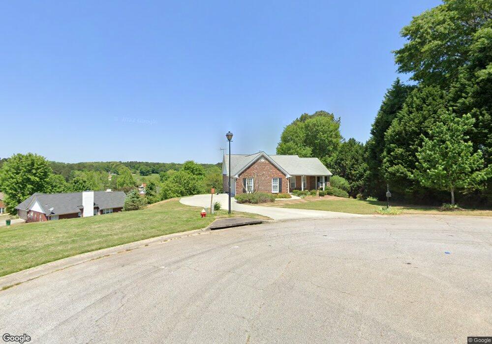
708 High Point Dr Winder, GA 30680
Estimated Value: $351,000 - $400,000
--
Bed
2
Baths
1,825
Sq Ft
$206/Sq Ft
Est. Value
About This Home
This home is located at 708 High Point Dr, Winder, GA 30680 and is currently estimated at $375,883, approximately $205 per square foot. 708 High Point Dr is a home located in Barrow County with nearby schools including County Line Elementary School, Russell Middle School, and Winder-Barrow High School.
Ownership History
Date
Name
Owned For
Owner Type
Purchase Details
Closed on
Sep 15, 2000
Sold by
Star Home Builders
Bought by
Webb Harold E and Webb Barbara J
Current Estimated Value
Home Financials for this Owner
Home Financials are based on the most recent Mortgage that was taken out on this home.
Original Mortgage
$75,000
Outstanding Balance
$27,238
Interest Rate
8.05%
Mortgage Type
New Conventional
Estimated Equity
$348,645
Create a Home Valuation Report for This Property
The Home Valuation Report is an in-depth analysis detailing your home's value as well as a comparison with similar homes in the area
Home Values in the Area
Average Home Value in this Area
Purchase History
| Date | Buyer | Sale Price | Title Company |
|---|---|---|---|
| Webb Harold E | $157,000 | -- |
Source: Public Records
Mortgage History
| Date | Status | Borrower | Loan Amount |
|---|---|---|---|
| Open | Webb Harold E | $75,000 |
Source: Public Records
Tax History Compared to Growth
Tax History
| Year | Tax Paid | Tax Assessment Tax Assessment Total Assessment is a certain percentage of the fair market value that is determined by local assessors to be the total taxable value of land and additions on the property. | Land | Improvement |
|---|---|---|---|---|
| 2024 | $1,923 | $131,751 | $28,000 | $103,751 |
| 2023 | $2,267 | $131,751 | $28,000 | $103,751 |
| 2022 | $1,119 | $84,210 | $16,400 | $67,810 |
| 2021 | $1,072 | $84,210 | $16,400 | $67,810 |
| 2020 | $902 | $78,593 | $16,400 | $62,193 |
| 2019 | $930 | $78,593 | $16,400 | $62,193 |
| 2018 | $875 | $71,775 | $15,200 | $56,575 |
| 2017 | $1,854 | $62,143 | $15,200 | $46,943 |
| 2016 | $1,442 | $60,330 | $15,200 | $45,130 |
| 2015 | $1,459 | $60,844 | $15,200 | $45,644 |
| 2014 | $1,128 | $52,504 | $6,860 | $45,644 |
| 2013 | -- | $49,636 | $6,860 | $42,776 |
Source: Public Records
Map
Nearby Homes
- 707 Overlook Dr Unit 1
- 469 Plantation Dr
- 381 W Candler St
- 553 Drake Cir
- The Cary A Plan at Lake Shore
- The Marion A Plan at Lake Shore
- 94 Garrison Dr
- 672 Meadowbrook Dr
- 642 Teal Dr
- 418 Jasmine Dr
- 401 N 5th Ave
- 254 Cedar Wood Trace
- 249 Cedar Wood Trace
- 244 Bayou Ln Unit 1
- 240 Cedar Wood Trace
- 239 Cedar Wood Trace
- 225 Cedar Wood Trace
- 725 Mallard Dr
- 723 Mallard Dr Unit 24
- 723 Mallard Dr
- 706 High Point Dr
- 727 Mallard Dr Unit 1
- 707 High Point Dr
- 707 Highpoint Dr
- 721 Mallard Dr
- 721 Mallard Dr Unit 1
- 729 Mallard Dr
- 705 High Point Dr
- 704 High Point Dr
- 719 Mallard Dr
- 719 Mallard Dr Unit 15
- 724 Mallard Dr Unit 1
- 726 Mallard Dr
- 0 High Point Dr Unit 8045229
- 0 High Point Dr Unit 8491426
- 0 High Point Dr Unit 7581566
- 0 High Point Dr Unit 9017420