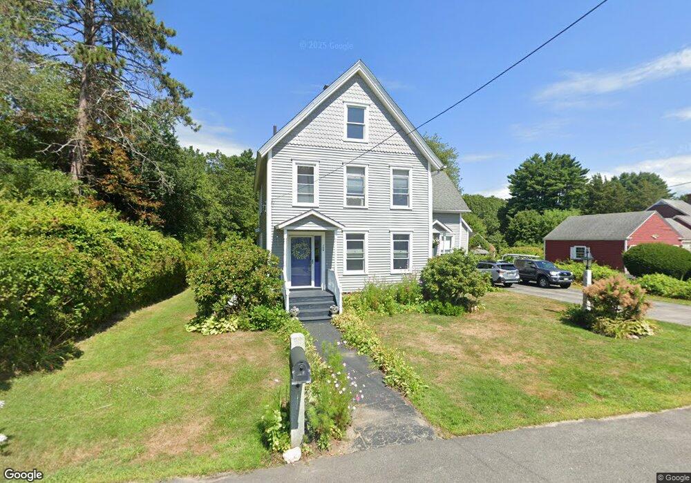
708 Main St Eliot, ME 03903
South Eliot NeighborhoodEstimated Value: $564,000 - $804,732
4
Beds
2
Baths
2,848
Sq Ft
$245/Sq Ft
Est. Value
About This Home
This home is located at 708 Main St, Eliot, ME 03903 and is currently estimated at $697,183, approximately $244 per square foot. 708 Main St is a home located in York County with nearby schools including Marshwood High School and Seacoast Waldorf School.
Create a Home Valuation Report for This Property
The Home Valuation Report is an in-depth analysis detailing your home's value as well as a comparison with similar homes in the area
Home Values in the Area
Average Home Value in this Area
Tax History
| Year | Tax Paid | Tax Assessment Tax Assessment Total Assessment is a certain percentage of the fair market value that is determined by local assessors to be the total taxable value of land and additions on the property. | Land | Improvement |
|---|---|---|---|---|
| 2024 | $5,939 | $501,200 | $158,400 | $342,800 |
| 2023 | $5,699 | $465,200 | $151,100 | $314,100 |
| 2022 | $5,455 | $450,800 | $151,100 | $299,700 |
| 2021 | $4,076 | $301,900 | $115,900 | $186,000 |
| 2020 | $4,190 | $285,000 | $110,800 | $174,200 |
| 2019 | $4,190 | $285,000 | $110,800 | $174,200 |
| 2018 | $4,190 | $285,000 | $110,800 | $174,200 |
| 2017 | $4,076 | $285,000 | $110,800 | $174,200 |
| 2016 | $4,004 | $285,000 | $110,800 | $174,200 |
| 2015 | $3,990 | $285,000 | $110,800 | $174,200 |
| 2014 | $3,925 | $284,400 | $110,800 | $173,600 |
| 2013 | $3,746 | $284,400 | $110,800 | $173,600 |
Source: Public Records
Map
Nearby Homes
- 18 Shipping Ln
- 1128 State Rd
- 8 Caslyn Dr
- 0 Franks Fort Island Unit 1650383
- 62 Village Dr Unit 62
- 22 Summer Ln
- 5 Spinney Way Unit 9
- 96 Spinnaker Way
- 45 Shearwater Dr
- 37 Shearwater Dr Unit 1906
- 14 Birch St
- 1360 Woodbury Ave
- 25 Oak Terrace
- 27 Oak Terrace
- 19 Aspen Cir
- 80 Woodlawn Cir
- 525 Maplewood Ave Unit 9
- 10 Shipwright Way
- 35 Badgers Island W Unit 203
- 35 Badgers Island W Unit 301
Your Personal Tour Guide
Ask me questions while you tour the home.