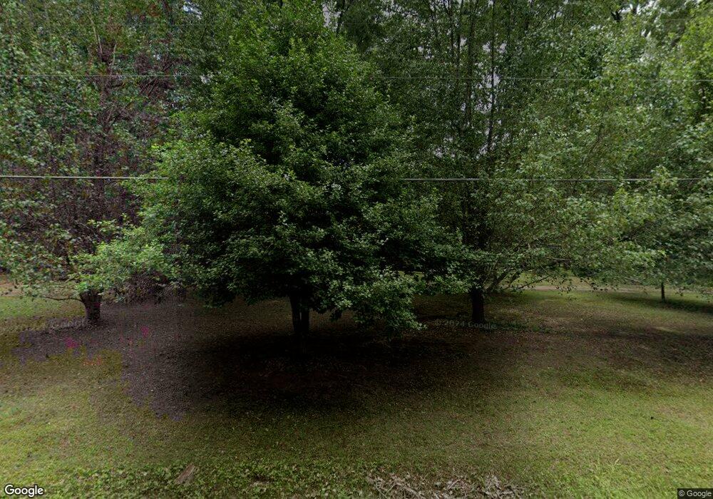
708 N Franklin Dr Sanford, NC 27330
Estimated Value: $256,000 - $273,000
2
Beds
1
Bath
1,473
Sq Ft
$177/Sq Ft
Est. Value
About This Home
This home is located at 708 N Franklin Dr, Sanford, NC 27330 and is currently estimated at $261,406, approximately $177 per square foot. 708 N Franklin Dr is a home located in Lee County with nearby schools including J.R. Ingram Jr. Elementary School, West Lee Middle School, and Lee County High School.
Ownership History
Date
Name
Owned For
Owner Type
Purchase Details
Closed on
Dec 3, 2021
Sold by
Nowell Tammy B and Tyner Tammy B
Bought by
Tyner Tammy B and Tyner Harry Mckinnon
Current Estimated Value
Home Financials for this Owner
Home Financials are based on the most recent Mortgage that was taken out on this home.
Original Mortgage
$105,000
Outstanding Balance
$82,081
Interest Rate
2.33%
Mortgage Type
New Conventional
Estimated Equity
$179,325
Purchase Details
Closed on
Mar 1, 2004
Sold by
Carriger Hal Edwin
Bought by
Nowell Tammy B
Create a Home Valuation Report for This Property
The Home Valuation Report is an in-depth analysis detailing your home's value as well as a comparison with similar homes in the area
Home Values in the Area
Average Home Value in this Area
Purchase History
| Date | Buyer | Sale Price | Title Company |
|---|---|---|---|
| Tyner Tammy B | -- | Servicelink East Escrow | |
| Nowell Tammy B | $130,000 | -- |
Source: Public Records
Mortgage History
| Date | Status | Borrower | Loan Amount |
|---|---|---|---|
| Open | Tyner Tammy B | $105,000 |
Source: Public Records
Tax History Compared to Growth
Tax History
| Year | Tax Paid | Tax Assessment Tax Assessment Total Assessment is a certain percentage of the fair market value that is determined by local assessors to be the total taxable value of land and additions on the property. | Land | Improvement |
|---|---|---|---|---|
| 2025 | $2,382 | $171,500 | $56,400 | $115,100 |
| 2024 | $2,382 | $171,500 | $56,400 | $115,100 |
| 2023 | $2,372 | $171,500 | $56,400 | $115,100 |
| 2022 | $1,894 | $116,600 | $37,300 | $79,300 |
| 2021 | $1,919 | $116,600 | $37,300 | $79,300 |
| 2020 | $1,913 | $116,600 | $37,300 | $79,300 |
| 2019 | $1,873 | $116,600 | $37,300 | $79,300 |
| 2018 | $1,736 | $106,800 | $29,800 | $77,000 |
| 2017 | $1,715 | $106,800 | $29,800 | $77,000 |
| 2016 | $1,690 | $106,800 | $29,800 | $77,000 |
| 2014 | $1,610 | $106,800 | $29,800 | $77,000 |
Source: Public Records
Map
Nearby Homes
- 0 Lot A Carbonton Rd
- 0 Mcleod Dr
- 503 N Franklin Dr
- 200 Arlington Cir
- 2400 Carbonton Rd
- 2712 Pebblebrook Dr
- 0 Carbonton Rd Unit 100529193
- 0 Carbonton Rd Unit 749750
- 0 Carbonton Rd Unit 24371434
- 3003 Carbonton Rd
- 2018 Sutphin Rd
- 3106 Hickory Hill Dr
- 2313 Grassmere Ct
- 2305 Weatherwood Ct
- 2313 Weatherwood Ct
- 1701 Portico Cir
- 3022 Carrington Ln
- 2600 Taton Ct
- 3027 Carrington Ln
- 3111 Pine Lake Dr
- 600 Monger Ln
- 704 N Franklin Dr
- 712 N Franklin Dr
- 601 Monger Ln
- 418 Arlington Cir
- 424 Arlington Cir
- 2207 Colonial Dr
- 604 Monger Ln
- 414 Arlington Cir
- 605 Monger Ln
- 700 N Franklin Dr
- 410 Arlington Cir
- 608 Monger Ln
- 517 Mcleod Dr
- 800 N Franklin Dr
- 609 Monger Ln
- 521 Mcleod Dr
- 612 Monger Ln
- 406 Arlington Cir
- 603 Mcleod Dr
