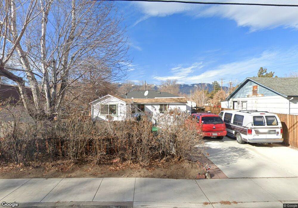
708 N Walsh St Carson City, NV 89701
Saliman and Fifth NeighborhoodEstimated Value: $320,000 - $365,000
2
Beds
2
Baths
796
Sq Ft
$428/Sq Ft
Est. Value
About This Home
This home is located at 708 N Walsh St, Carson City, NV 89701 and is currently estimated at $340,324, approximately $427 per square foot. 708 N Walsh St is a home located in Carson City with nearby schools including Grace Bordewich Mildred Bray Elementary School, Carson Middle School, and Carson High School.
Ownership History
Date
Name
Owned For
Owner Type
Purchase Details
Closed on
Feb 27, 2013
Sold by
Giurlani Sam S and Giurlani Helen M
Bought by
Blomberg Emil F and Mcdaniel Blomberg Deanna Gale J W
Current Estimated Value
Home Financials for this Owner
Home Financials are based on the most recent Mortgage that was taken out on this home.
Original Mortgage
$100,000
Interest Rate
3.34%
Mortgage Type
Purchase Money Mortgage
Purchase Details
Closed on
May 26, 2005
Sold by
Giurlani Sam S
Bought by
Giurlani Sam S and Giurlani Helen M
Create a Home Valuation Report for This Property
The Home Valuation Report is an in-depth analysis detailing your home's value as well as a comparison with similar homes in the area
Home Values in the Area
Average Home Value in this Area
Purchase History
| Date | Buyer | Sale Price | Title Company |
|---|---|---|---|
| Blomberg Emil F | $100,000 | Northern Nevada Title Cc | |
| Giurlani Sam S | -- | None Available |
Source: Public Records
Mortgage History
| Date | Status | Borrower | Loan Amount |
|---|---|---|---|
| Previous Owner | Blomberg Emil F | $100,000 |
Source: Public Records
Tax History Compared to Growth
Tax History
| Year | Tax Paid | Tax Assessment Tax Assessment Total Assessment is a certain percentage of the fair market value that is determined by local assessors to be the total taxable value of land and additions on the property. | Land | Improvement |
|---|---|---|---|---|
| 2025 | $723 | $46,941 | $31,500 | $15,441 |
| 2024 | $702 | $45,152 | $29,750 | $15,402 |
| 2023 | $682 | $43,298 | $29,400 | $13,898 |
| 2022 | $662 | $36,887 | $24,500 | $12,387 |
| 2021 | $643 | $30,066 | $18,200 | $11,866 |
| 2020 | $643 | $25,276 | $13,825 | $11,451 |
| 2019 | $604 | $25,012 | $13,825 | $11,187 |
| 2018 | $785 | $23,128 | $12,600 | $10,528 |
| 2017 | $1,135 | $21,858 | $11,550 | $10,308 |
| 2016 | $1,705 | $20,845 | $10,500 | $10,345 |
| 2015 | $1,291 | $16,655 | $9,240 | $7,415 |
| 2014 | $1,300 | $15,334 | $8,400 | $6,934 |
Source: Public Records
Map
Nearby Homes
- 512 E Spear St
- 200 N Walsh St
- 611 E Proctor St
- 1312 N Fall St
- 10281 Vicky Lane Jeep Trail
- 102 N Curry St
- 1012 N Nevada St
- 1418 E Telegraph St
- 1610 N Stewart St
- 1504 Pinto Ct
- 1108 Tamarisk St
- 212 S Minnesota St
- 1366 Campagni Ln
- 1000 Mountain St
- 1902 N Peter's St
- 402 W Sixth St
- 310 Mountain St
- 308 Thompson St
- 1026 N Wind Dr
- Cross Creek, Plan 3 at Cross Creek
- 701 N Walsh St
- 713 N Walsh St
- 614 N Walsh St
- 710 E Caroline St
- 711 E Washington St
- 613 N Walsh St
- 612 E Robinson St
- 688 Anderson St
- 600 E Robinson St
- 674 Anderson St
- 502 E Caroline St
- 601 N Walsh St
- 660 Anderson St
- 646 Anderson St
- 604 thru 688 Anderson St
- 618 Anderson St
- 720 E Robinson St
- 632 Anderson St
- 604 Anderson St
- 604 Anderson St