708 NE Morrow Rd Gentry, AR 72734
Estimated Value: $295,000 - $459,033
--
Bed
2
Baths
1,504
Sq Ft
$240/Sq Ft
Est. Value
About This Home
This home is located at 708 NE Morrow Rd, Gentry, AR 72734 and is currently estimated at $361,344, approximately $240 per square foot. 708 NE Morrow Rd is a home located in Benton County with nearby schools including Vaughn Elementary, Grimsley Junior High School, and Creekside Middle School.
Ownership History
Date
Name
Owned For
Owner Type
Purchase Details
Closed on
Jun 12, 2001
Bought by
Morrow D
Current Estimated Value
Purchase Details
Closed on
Nov 22, 1999
Bought by
Morrow
Purchase Details
Closed on
Sep 20, 1995
Bought by
Ithyl Morrow Dod 3 and Ithyl 31
Purchase Details
Closed on
Sep 12, 1995
Bought by
Airport (1.43A)
Purchase Details
Closed on
Mar 11, 1983
Bought by
Morrow
Create a Home Valuation Report for This Property
The Home Valuation Report is an in-depth analysis detailing your home's value as well as a comparison with similar homes in the area
Home Values in the Area
Average Home Value in this Area
Purchase History
| Date | Buyer | Sale Price | Title Company |
|---|---|---|---|
| Morrow D | -- | -- | |
| Morrow | -- | -- | |
| Ithyl Morrow Dod 3 | -- | -- | |
| Marvin Morrow Dod 9 | -- | -- | |
| Airport (1.43A) | $6,000 | -- | |
| Morrow | -- | -- |
Source: Public Records
Tax History Compared to Growth
Tax History
| Year | Tax Paid | Tax Assessment Tax Assessment Total Assessment is a certain percentage of the fair market value that is determined by local assessors to be the total taxable value of land and additions on the property. | Land | Improvement |
|---|---|---|---|---|
| 2025 | $2,771 | $45,646 | $10,931 | $34,715 |
| 2024 | $1,309 | $30,565 | $10,931 | $19,634 |
| 2023 | $1,190 | $19,460 | $7,660 | $11,800 |
| 2022 | $1,122 | $19,460 | $7,660 | $11,800 |
| 2021 | $1,027 | $19,460 | $7,660 | $11,800 |
| 2020 | $569 | $15,070 | $6,590 | $8,480 |
| 2019 | $569 | $15,070 | $6,590 | $8,480 |
| 2018 | $594 | $15,070 | $6,590 | $8,480 |
| 2017 | $554 | $15,070 | $6,590 | $8,480 |
| 2016 | $554 | $15,070 | $6,590 | $8,480 |
| 2015 | $880 | $16,420 | $6,000 | $10,420 |
| 2014 | $530 | $16,420 | $6,000 | $10,420 |
Source: Public Records
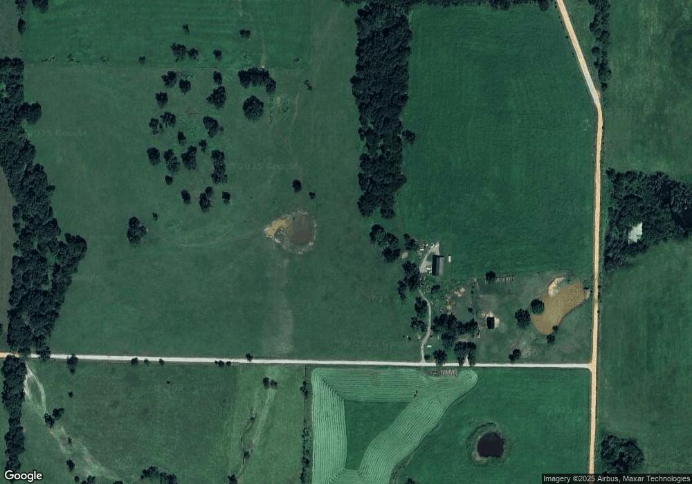
Map
Nearby Homes
- 0 NE 18th Ave
- 19.95 ac NE 18th Ave
- 236 ac NE 18th Ave
- 80 ac NE 18th Ave
- 81 ac N Center St
- 19.99 ac NW Hutchens Rd
- 422 NE Duke Hill Rd
- 477 NE Duke Hill Rd
- 14400 Cowan Rd
- 0 Hutchens Rd
- 14400 W Cowan Rd
- 1571 N Center St
- 492 NW Cowan Ave
- 541 Ave
- 21.61 Acres W Highway 12
- 6612 NW Kathleen St
- 6506 NW Kathleen St
- 6614 NW Kathleen St
- 6504 NW Kathleen St
- 796 NW Holland Ave
- 10975 Hutchens Rd
- 10975 Hutchens Rd
- 11205 W Insco Rd
- 0 NE 18th Ave
- 13332 Morrow Rd
- 0 1 41 Ac Airport Rd Unit 739288
- 0 NW 18th Unit 1248759
- 0 NW 18th Unit 1214637
- 1669 NW Hutchens Rd
- 0 N 68 Acres Holland Ave Unit 722273
- 1669 NE Hutchens Rd
- 0 NE 18th St Unit 1267135
- 0 NE 18th St Unit 1188203
- 1865 NE Douglas Cemetery Rd
- 1865 NE Douglas Cemetery Rd
- 572 NE Duke Hill Rd
- 0 NE Duke Hill Rd Unit 1188186
- 10855 N Holland Ave
- 544 NE Duke Hill Rd
- 13610 Cowan Rd