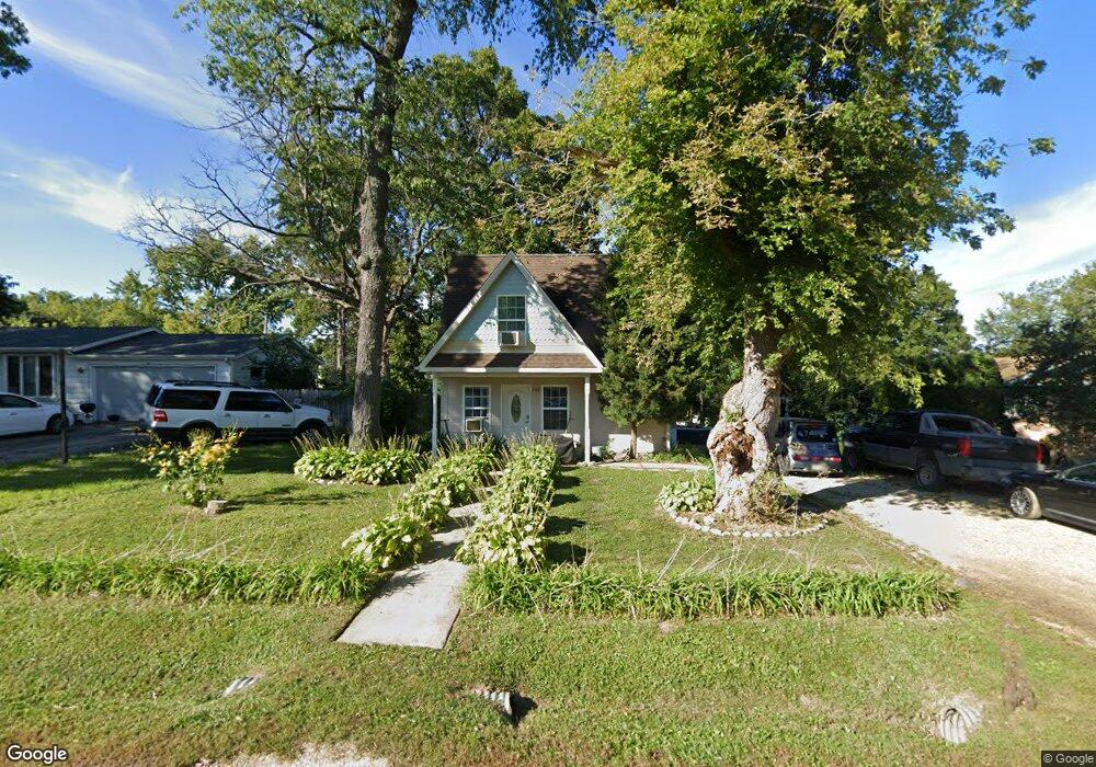
708 Peter St McHenry, IL 60051
West Island Lake NeighborhoodEstimated Value: $155,000 - $210,000
1
Bed
3
Baths
480
Sq Ft
$384/Sq Ft
Est. Value
About This Home
This home is located at 708 Peter St, McHenry, IL 60051 and is currently estimated at $184,360, approximately $384 per square foot. 708 Peter St is a home located in McHenry County with nearby schools including Cotton Creek School, Jefferson Elementary School, and Grundy Elementary School.
Ownership History
Date
Name
Owned For
Owner Type
Purchase Details
Closed on
Oct 19, 2009
Sold by
Fannie Mae
Bought by
Taylor Lester
Current Estimated Value
Purchase Details
Closed on
Jul 6, 2009
Sold by
Smith Philip S
Bought by
Federal National Mortgage Association
Purchase Details
Closed on
Nov 13, 1995
Sold by
Smith Philip S
Bought by
Smith Philip S
Purchase Details
Closed on
Jul 26, 1995
Sold by
Larson Mark T and Larson Mary Kay
Bought by
Smith Philip S
Home Financials for this Owner
Home Financials are based on the most recent Mortgage that was taken out on this home.
Original Mortgage
$36,400
Interest Rate
7.59%
Create a Home Valuation Report for This Property
The Home Valuation Report is an in-depth analysis detailing your home's value as well as a comparison with similar homes in the area
Home Values in the Area
Average Home Value in this Area
Purchase History
| Date | Buyer | Sale Price | Title Company |
|---|---|---|---|
| Taylor Lester | $15,000 | Fatic | |
| Federal National Mortgage Association | -- | None Available | |
| Smith Philip S | -- | -- | |
| Smith Philip S | $45,500 | -- |
Source: Public Records
Mortgage History
| Date | Status | Borrower | Loan Amount |
|---|---|---|---|
| Previous Owner | Smith Philip S | $36,400 |
Source: Public Records
Tax History Compared to Growth
Tax History
| Year | Tax Paid | Tax Assessment Tax Assessment Total Assessment is a certain percentage of the fair market value that is determined by local assessors to be the total taxable value of land and additions on the property. | Land | Improvement |
|---|---|---|---|---|
| 2024 | $2,565 | $43,310 | $15,782 | $27,528 |
| 2023 | $2,420 | $38,840 | $14,153 | $24,687 |
| 2022 | $2,734 | $35,519 | $12,943 | $22,576 |
| 2021 | $2,625 | $33,301 | $12,135 | $21,166 |
| 2020 | $2,475 | $32,303 | $11,771 | $20,532 |
| 2019 | $1,885 | $30,712 | $11,191 | $19,521 |
| 2018 | $1,747 | $28,848 | $10,512 | $18,336 |
| 2017 | $1,680 | $27,638 | $10,071 | $17,567 |
| 2016 | $1,611 | $26,370 | $9,609 | $16,761 |
| 2013 | -- | $20,614 | $9,145 | $11,469 |
Source: Public Records
Map
Nearby Homes
- 806 Peter St
- 6 Lots Porten Rd
- 4540 Vista Dr Unit 12
- 4505 Giant Oak Dr
- Lot 0 S Pine St
- 1302 Autumn Ridge Ct
- 4400 Riverside Dr
- 4024 Newport Dr
- 29652 W Roberts Rd
- 27630 N Hickory St
- 4126 Wildwood Dr
- 120 W State Rd
- 1102 Noble Pkwy
- Lot 9 -10 Louise St
- 228 S Shore Dr
- NEC Route 176 & Westridge Dr
- 1909 Louise St
- 104 Channel Dr
- 26824 N Poplar St
- 216 S Shore Dr Unit S