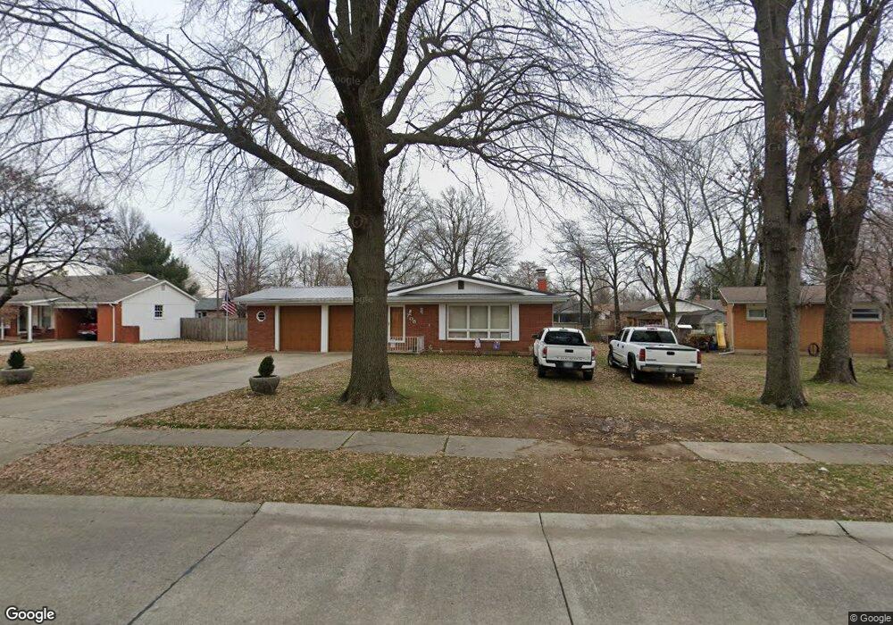
708 Pine St Sikeston, MO 63801
Estimated Value: $169,000 - $188,000
Studio
--
Bath
1,550
Sq Ft
$116/Sq Ft
Est. Value
About This Home
This home is located at 708 Pine St, Sikeston, MO 63801 and is currently estimated at $179,155, approximately $115 per square foot. 708 Pine St is a home with nearby schools including Sikeston Senior High School, Southeast Missouri Christian Academy, and The Christian Academy.
Ownership History
Date
Name
Owned For
Owner Type
Purchase Details
Closed on
Apr 7, 2025
Sold by
Comstock Lee and Comstock Patricia
Bought by
Lee & Patricia Comstock Family Trust and Comstock
Current Estimated Value
Purchase Details
Closed on
Aug 24, 2020
Sold by
Launius Revocable Living Trust
Bought by
Comstock Lee and Comstock Patricia
Home Financials for this Owner
Home Financials are based on the most recent Mortgage that was taken out on this home.
Original Mortgage
$113,600
Interest Rate
2.9%
Mortgage Type
New Conventional
Create a Home Valuation Report for This Property
The Home Valuation Report is an in-depth analysis detailing your home's value as well as a comparison with similar homes in the area
Home Values in the Area
Average Home Value in this Area
Purchase History
| Date | Buyer | Sale Price | Title Company |
|---|---|---|---|
| Lee & Patricia Comstock Family Trust | -- | None Listed On Document | |
| Lee & Patricia Comstock Family Trust | -- | None Listed On Document | |
| Comstock Lee | -- | Semo Title Company |
Source: Public Records
Mortgage History
| Date | Status | Borrower | Loan Amount |
|---|---|---|---|
| Previous Owner | Comstock Lee | $113,600 |
Source: Public Records
Tax History
| Year | Tax Paid | Tax Assessment Tax Assessment Total Assessment is a certain percentage of the fair market value that is determined by local assessors to be the total taxable value of land and additions on the property. | Land | Improvement |
|---|---|---|---|---|
| 2025 | $763 | $17,680 | $0 | $0 |
| 2024 | $8 | $16,020 | $0 | $0 |
| 2023 | $760 | $16,020 | $0 | $0 |
| 2022 | $765 | $15,470 | $0 | $0 |
| 2021 | $765 | $15,470 | $0 | $0 |
| 2020 | $687 | $14,850 | $0 | $0 |
| 2019 | -- | $14,850 | $0 | $0 |
| 2018 | -- | $14,850 | $0 | $0 |
| 2017 | -- | $14,850 | $0 | $0 |
| 2014 | -- | $14,950 | $0 | $0 |
| 2011 | -- | $14,950 | $0 | $0 |
Source: Public Records
Map
Nearby Homes
- 707 Bayberry Dr
- 926 Crescent Dr
- 604 Maple St
- 838 E Gladys St
- 819 E Kathleen St
- 912 Plantation Blvd
- 733 Matthews Ave
- 1003 Red Arrow
- 322 Helen St
- 321 Benton St
- 319 Benton St
- 338 E Gladys St
- 412 E Kathleen St
- 312 Hardin St
- 309 Benton St
- 929 Lake St
- 414 Matthews Ave
- 334 E Kathleen St
- 1130 Persimmon Place
- 511 S Kingshighway St
Your Personal Tour Guide
Ask me questions while you tour the home.