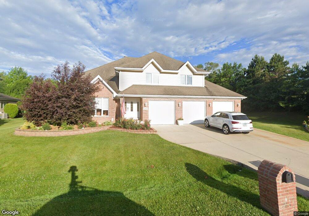
708 Spruce Dr Prospect Heights, IL 60070
Estimated Value: $683,000 - $832,000
4
Beds
3
Baths
2,771
Sq Ft
$268/Sq Ft
Est. Value
About This Home
This home is located at 708 Spruce Dr, Prospect Heights, IL 60070 and is currently estimated at $742,633, approximately $268 per square foot. 708 Spruce Dr is a home located in Cook County with nearby schools including Dwight D Eisenhower Elementary School, Anne Sullivan Elementary School, and Betsy Ross Elementary School.
Ownership History
Date
Name
Owned For
Owner Type
Purchase Details
Closed on
Mar 5, 1999
Sold by
Mcfarland Sean B and Mcfarland Catherine S
Bought by
Popieluszko Marek and Popieluszko Urzula
Current Estimated Value
Home Financials for this Owner
Home Financials are based on the most recent Mortgage that was taken out on this home.
Original Mortgage
$272,000
Outstanding Balance
$62,051
Interest Rate
6.83%
Estimated Equity
$680,582
Create a Home Valuation Report for This Property
The Home Valuation Report is an in-depth analysis detailing your home's value as well as a comparison with similar homes in the area
Home Values in the Area
Average Home Value in this Area
Purchase History
| Date | Buyer | Sale Price | Title Company |
|---|---|---|---|
| Popieluszko Marek | $340,000 | Chicago Title Insurance Co |
Source: Public Records
Mortgage History
| Date | Status | Borrower | Loan Amount |
|---|---|---|---|
| Open | Popieluszko Marek | $272,000 |
Source: Public Records
Tax History
| Year | Tax Paid | Tax Assessment Tax Assessment Total Assessment is a certain percentage of the fair market value that is determined by local assessors to be the total taxable value of land and additions on the property. | Land | Improvement |
|---|---|---|---|---|
| 2025 | $13,129 | $62,000 | $13,748 | $48,252 |
| 2024 | $13,129 | $47,000 | $13,748 | $33,252 |
| 2023 | $13,689 | $47,000 | $13,748 | $33,252 |
| 2022 | $13,689 | $52,000 | $13,748 | $38,252 |
| 2021 | $12,083 | $40,181 | $8,592 | $31,589 |
| 2020 | $13,200 | $44,672 | $8,592 | $36,080 |
| 2019 | $13,175 | $49,913 | $8,592 | $41,321 |
| 2018 | $13,205 | $46,152 | $7,303 | $38,849 |
| 2017 | $13,075 | $46,152 | $7,303 | $38,849 |
| 2016 | $12,421 | $46,152 | $7,303 | $38,849 |
| 2015 | $14,098 | $47,495 | $6,444 | $41,051 |
| 2014 | $13,967 | $47,495 | $6,444 | $41,051 |
| 2013 | $13,605 | $47,495 | $6,444 | $41,051 |
Source: Public Records
Map
Nearby Homes
- 1525 Sander Ct Unit 113
- 1430 Sandstone Dr Unit 202
- 802 Andover Ct
- 1450 Sandpebble Dr Unit 333
- 1376 Longacre Ln Unit 113
- 523 Bridle Trail Unit 161
- 448 Bridle Trail Unit 211
- 1201 Pleasant Run Dr Unit 312
- 1125 Pleasant Run Dr Unit 807
- 307 Anne Ct
- 1111 Pleasant Run Dr Unit 911
- 200 N Pine St
- 1105 N Maple Ln
- 988 Ridgefield Ln Unit 54
- 206 E Camp Mcdonald Rd
- 2454 E Hunter Dr Unit 93
- 101 N Schoenbeck Rd
- 15 E Willow Rd
- 1033 Wheeling Rd
- 105 E Elaine Cir
Your Personal Tour Guide
Ask me questions while you tour the home.