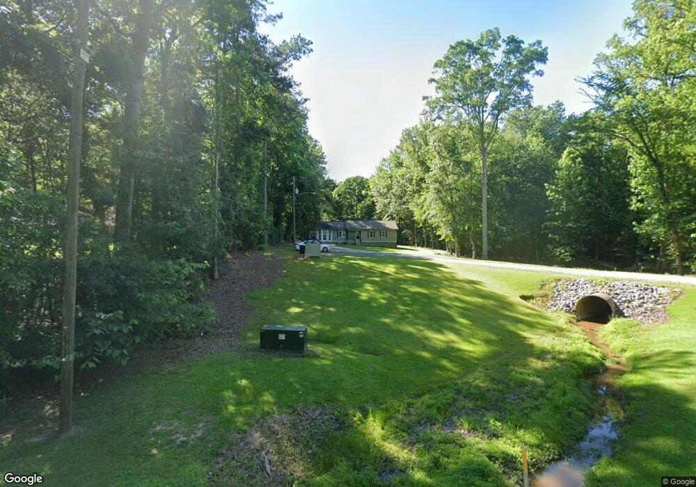
7080 Highway 54 Sharpsburg, GA 30277
Estimated Value: $395,000 - $511,000
4
Beds
3
Baths
2,770
Sq Ft
$165/Sq Ft
Est. Value
About This Home
This home is located at 7080 Highway 54, Sharpsburg, GA 30277 and is currently estimated at $456,646, approximately $164 per square foot. 7080 Highway 54 is a home located in Coweta County with nearby schools including Willis Road Elementary School, Lee Middle School, and East Coweta High School.
Ownership History
Date
Name
Owned For
Owner Type
Purchase Details
Closed on
Mar 8, 2018
Sold by
Orr Ronald B
Bought by
Orr Zoraida D
Current Estimated Value
Purchase Details
Closed on
Nov 7, 1996
Bought by
Orr Ronald B and Orr Zorai
Purchase Details
Closed on
Jun 26, 1996
Sold by
Bell Richard Tracey
Bought by
Orr Ronald Zoraida
Purchase Details
Closed on
Dec 10, 1991
Bought by
Bell Richard Allen
Purchase Details
Closed on
Jun 4, 1991
Bought by
Secretary Of Housing
Create a Home Valuation Report for This Property
The Home Valuation Report is an in-depth analysis detailing your home's value as well as a comparison with similar homes in the area
Home Values in the Area
Average Home Value in this Area
Purchase History
| Date | Buyer | Sale Price | Title Company |
|---|---|---|---|
| Orr Zoraida D | -- | -- | |
| Orr Ronald B | $83,500 | -- | |
| Orr Ronald Zoraida | $83,500 | -- | |
| Bell Richard Allen | $47,500 | -- | |
| Secretary Of Housing | $84,600 | -- | |
| Collateral Mortgage | $84,600 | -- |
Source: Public Records
Mortgage History
| Date | Status | Borrower | Loan Amount |
|---|---|---|---|
| Closed | Orr Ronald Zoraida | $0 |
Source: Public Records
Tax History Compared to Growth
Tax History
| Year | Tax Paid | Tax Assessment Tax Assessment Total Assessment is a certain percentage of the fair market value that is determined by local assessors to be the total taxable value of land and additions on the property. | Land | Improvement |
|---|---|---|---|---|
| 2025 | $3,191 | $142,184 | $21,760 | $120,424 |
| 2024 | $2,916 | $130,226 | $20,337 | $109,890 |
| 2023 | $2,916 | $133,005 | $18,830 | $114,175 |
| 2022 | $2,340 | $99,696 | $18,830 | $80,866 |
| 2021 | $2,250 | $90,142 | $17,934 | $72,208 |
| 2020 | $2,264 | $90,142 | $17,934 | $72,208 |
| 2019 | $2,055 | $75,009 | $15,874 | $59,135 |
| 2018 | $2,059 | $75,009 | $15,874 | $59,135 |
| 2017 | $2,059 | $75,009 | $15,874 | $59,135 |
| 2016 | $1,114 | $43,166 | $15,874 | $27,292 |
| 2015 | $1,098 | $43,166 | $15,874 | $27,292 |
| 2014 | $1,091 | $43,166 | $15,874 | $27,292 |
Source: Public Records
Map
Nearby Homes
- 8 Chiefs Trail
- 50 Kay Ct
- 250 Bob Smith Rd
- 196 Bob Smith Rd
- 25 Lentry Dr
- 40 Long Branch Trail
- 0 Bob Smith Rd Unit 10562838
- 180 Saint James Place
- 28 Fawn Ct
- 25 Chemin Place
- 21 Lake Park Ct
- 7483 Highway 54
- 296 Mcintosh Trail
- Briarwood Plan at Twelve Parks 55+
- Sullivan Plan at Twelve Parks 55+
- 4 Unicoi Trail
- 12 Unicoi Trail
- Crestwood Plan at Twelve Parks 55+
- 98 Keown Loop
- Brunswick Plan at Twelve Parks 55+
- 7066 Highway 54
- 7064 Highway 54
- 7110 Highway 54
- 7042 Highway 54
- 7042 Highway 54
- 7142 Georgia 54
- 7142 Highway 54
- 7097 Highway 54
- 7144 Georgia 54
- 7144 Highway 54
- 7065 Highway 54
- 7024 Highway 54
- 245 Bob Smith Rd
- 120 Melrose Dr
- 130 Melrose Dr
- 7000 Highway 54
- 7025 Highway 54
- 110 Melrose Dr
- 125 Melrose Dr
- 6980 Highway 54