7080 State Route 676 Stockport, OH 43787
Estimated Value: $230,000 - $351,000
2
Beds
2
Baths
2,688
Sq Ft
$115/Sq Ft
Est. Value
About This Home
This home is located at 7080 State Route 676, Stockport, OH 43787 and is currently estimated at $310,172, approximately $115 per square foot. 7080 State Route 676 is a home with nearby schools including Waterford Elementary School and Waterford High School.
Ownership History
Date
Name
Owned For
Owner Type
Purchase Details
Closed on
Sep 23, 2020
Sold by
Clark Margaret E
Bought by
Miller David L and Miller Fannie D
Current Estimated Value
Home Financials for this Owner
Home Financials are based on the most recent Mortgage that was taken out on this home.
Original Mortgage
$200,000
Outstanding Balance
$177,487
Interest Rate
2.9%
Mortgage Type
Future Advance Clause Open End Mortgage
Estimated Equity
$132,685
Purchase Details
Closed on
Dec 2, 2004
Sold by
Britton Robert P and Britton Patricia Ann
Bought by
Clark Charles E and Clark Margaret E
Purchase Details
Closed on
Feb 15, 2002
Bought by
Britton Robert P and Britton Patri
Purchase Details
Closed on
Jun 14, 1996
Bought by
Britton Robert P and Britton Patri
Purchase Details
Closed on
Jan 6, 1989
Bought by
Miller Henry H and Miller Anna
Create a Home Valuation Report for This Property
The Home Valuation Report is an in-depth analysis detailing your home's value as well as a comparison with similar homes in the area
Home Values in the Area
Average Home Value in this Area
Purchase History
| Date | Buyer | Sale Price | Title Company |
|---|---|---|---|
| Miller David L | $275,000 | None Available | |
| Clark Charles E | $162,500 | None Available | |
| Britton Robert P | -- | -- | |
| Britton Robert P | $32,000 | -- | |
| Miller Henry H | $26,500 | -- |
Source: Public Records
Mortgage History
| Date | Status | Borrower | Loan Amount |
|---|---|---|---|
| Open | Miller David L | $200,000 |
Source: Public Records
Tax History Compared to Growth
Tax History
| Year | Tax Paid | Tax Assessment Tax Assessment Total Assessment is a certain percentage of the fair market value that is determined by local assessors to be the total taxable value of land and additions on the property. | Land | Improvement |
|---|---|---|---|---|
| 2024 | $1,573 | $55,910 | $18,460 | $37,450 |
| 2023 | $1,573 | $53,050 | $18,460 | $34,590 |
| 2022 | $1,469 | $53,050 | $18,460 | $34,590 |
| 2021 | $905 | $35,090 | $16,050 | $19,040 |
| 2020 | $599 | $35,090 | $16,050 | $19,040 |
| 2019 | $598 | $25,610 | $6,570 | $19,040 |
| 2018 | $622 | $25,920 | $8,610 | $17,310 |
| 2017 | $635 | $25,920 | $8,610 | $17,310 |
| 2016 | $1,429 | $25,920 | $8,610 | $17,310 |
| 2015 | $594 | $24,340 | $8,620 | $15,720 |
| 2014 | $1,358 | $24,340 | $8,620 | $15,720 |
| 2013 | $587 | $24,340 | $8,620 | $15,720 |
Source: Public Records
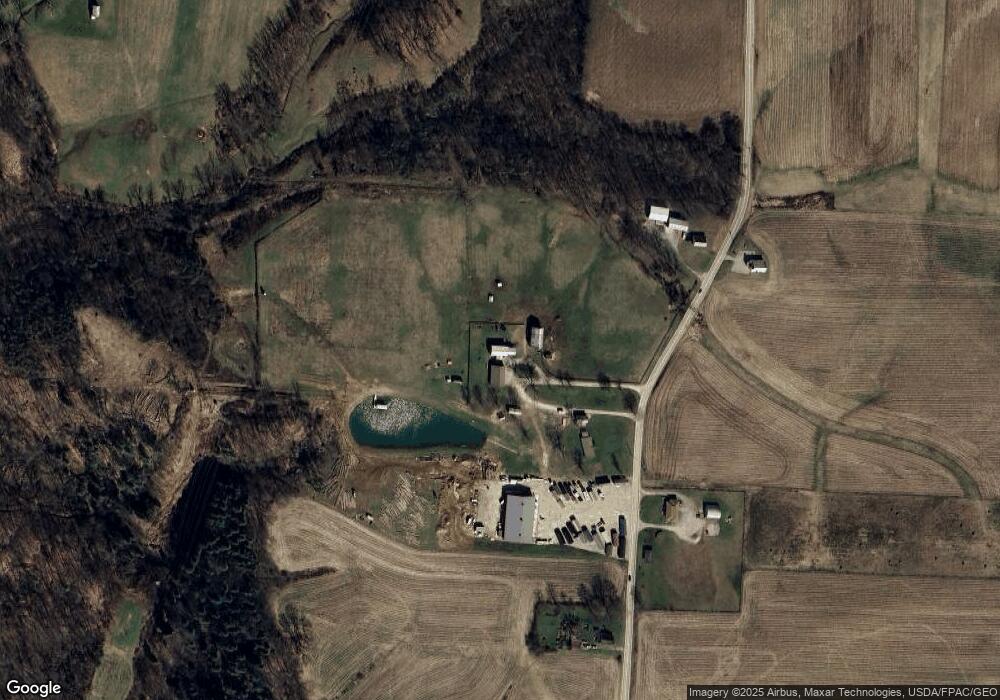
Map
Nearby Homes
- Lot 1 Shinn Rd
- Lot 2 Shinn Rd
- Lot 2 Shinn Rd
- 4000 C206
- 2109 Bell Rd
- 4660 E J Ross Ln
- 10507 Ohio 339
- 0 Kosky Dr
- 3291 Kosky Dr
- 5788 Buchanan Rd
- 3707 Righteous Ridge Rd
- 3111 Big Bottom Ln
- 1998 Reese Rd
- 3439 Columbus St
- 10270 Ohio 550
- 3130 Ohio 266
- 183 Deming Rd
- 1876 Pine Ridge Rd
- 0 Fisher Ridge Rd
- 2415 State Route 550
- 7120 State Route 676
- 7240 State Route 676
- 7331 State Route 676
- 6585 State Route 676
- 6320 State Route 676
- 6406 State Route 676
- 7520 State Route 676
- 6695 State Route 676
- 6695 State Route 676
- 6695 State Route 676
- 6695 State Route 676
- 6695 State Route 676
- 6695 State Route 676
- 6695 State Route 676
- 6695 State Route 676
- 7650 State Route 676
- 6150 State Route 676
- 6100 State Route 676
- 6245 State Route 676
- 927 Shaffer Rd