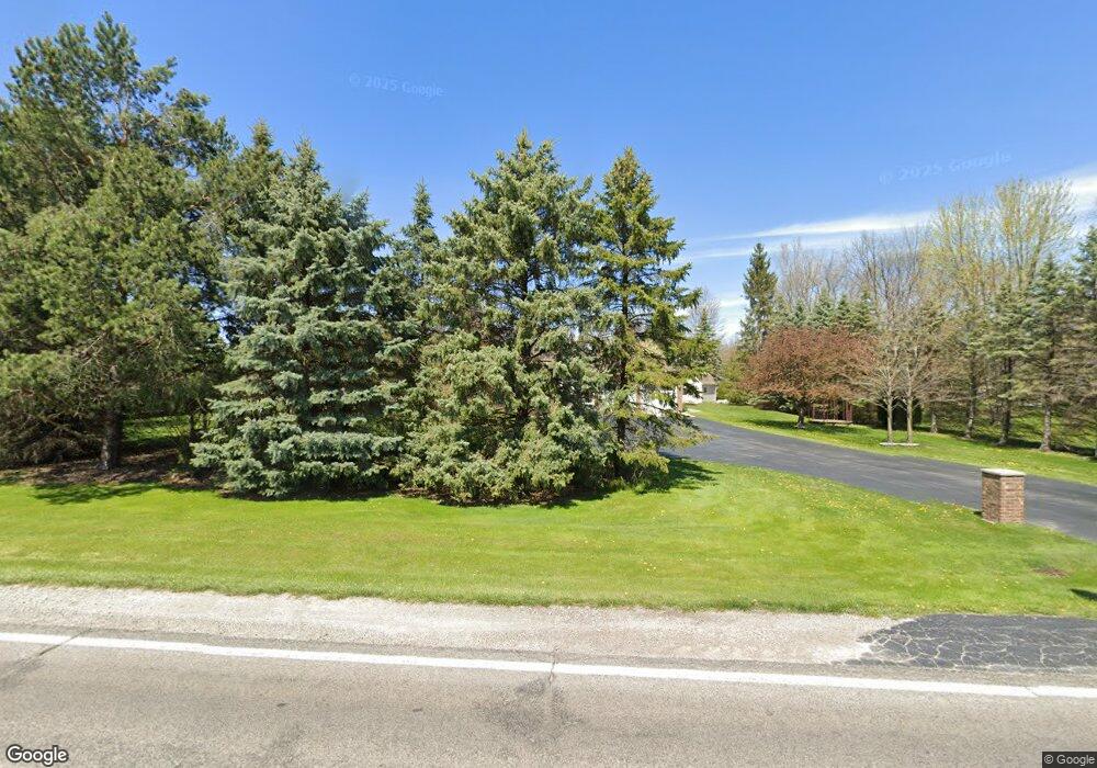
7080 W Freeland Rd Freeland, MI 48623
Estimated Value: $373,000 - $507,000
3
Beds
2
Baths
2,307
Sq Ft
$195/Sq Ft
Est. Value
About This Home
This home is located at 7080 W Freeland Rd, Freeland, MI 48623 and is currently estimated at $449,943, approximately $195 per square foot. 7080 W Freeland Rd is a home located in Saginaw County with nearby schools including Freeland Learning Center, Freeland Elementary School, and Freeland Middle/High School.
Ownership History
Date
Name
Owned For
Owner Type
Purchase Details
Closed on
Nov 23, 2011
Sold by
Sova Randolph G and Sova Jocelyn T
Bought by
Ainsworth Jeremy and Ainsworth Tracy
Current Estimated Value
Home Financials for this Owner
Home Financials are based on the most recent Mortgage that was taken out on this home.
Original Mortgage
$212,400
Outstanding Balance
$145,464
Interest Rate
4.11%
Mortgage Type
Purchase Money Mortgage
Estimated Equity
$304,479
Purchase Details
Closed on
May 11, 1987
Create a Home Valuation Report for This Property
The Home Valuation Report is an in-depth analysis detailing your home's value as well as a comparison with similar homes in the area
Home Values in the Area
Average Home Value in this Area
Purchase History
| Date | Buyer | Sale Price | Title Company |
|---|---|---|---|
| Ainsworth Jeremy | $236,000 | -- | |
| -- | $10,300 | -- |
Source: Public Records
Mortgage History
| Date | Status | Borrower | Loan Amount |
|---|---|---|---|
| Open | Ainsworth Jeremy | $212,400 |
Source: Public Records
Tax History Compared to Growth
Tax History
| Year | Tax Paid | Tax Assessment Tax Assessment Total Assessment is a certain percentage of the fair market value that is determined by local assessors to be the total taxable value of land and additions on the property. | Land | Improvement |
|---|---|---|---|---|
| 2025 | $5,211 | $209,300 | $0 | $0 |
| 2024 | $1,515 | $185,100 | $0 | $0 |
| 2023 | $1,443 | $162,800 | $0 | $0 |
| 2022 | $4,284 | $149,600 | $0 | $0 |
| 2021 | $3,913 | $138,400 | $0 | $0 |
| 2020 | $3,803 | $128,100 | $0 | $0 |
| 2019 | $3,682 | $127,300 | $0 | $0 |
| 2018 | $1,258 | $118,200 | $0 | $0 |
| 2017 | $3,286 | $117,500 | $0 | $0 |
| 2016 | $3,258 | $116,200 | $0 | $0 |
| 2014 | -- | $109,200 | $0 | $91,600 |
| 2013 | -- | $107,600 | $0 | $0 |
Source: Public Records
Map
Nearby Homes
- 6641 Pierce Rd
- 6790 Hospital Rd
- 9325 Hospital Rd
- 7474 Kochville Rd
- 9924 Garner Ln
- 9100 Brook Hollow Ln
- 9160 Brook Hollow Ln
- 5874 Diamond Meadows Ln
- 4079 S 8 Mile Rd
- Parcel B 2 56 Acres N Center Rd Unit Parcel B
- 1040 Wheelock St
- TBD Garfield Rd
- Parcel C 2 56 Acres N Center Rd Unit Parcel C
- 10123 Hawk Dr
- Parcel D 2 64 Acres N Center Rd Unit Parcel D
- 8421 Waxwing Dr
- 0000 Pierce Rd
- 8599 Ashland Place
- 8535 Summer Ridge Dr
- 8442 Cottonwood Dr
- 7140 W Freeland Rd
- 7024 W Freeland Rd
- 8055 Hospital Rd
- 8077 Hospital Rd
- 7099 W Freeland Rd
- 8111 Hospital Rd
- 7172 W Freeland Rd
- 7000 Hospital Rd
- 7150 W Freeland Rd
- 7150 W Freeland Rd
- 8165 Hospital Rd
- 7955 W Freeland Rd
- 7175 W Freeland Rd
- 8239 Hospital Rd
- 8205 Hospital Rd
- 7855 Hospital Rd
- 7185 W Freeland Rd
- 8243 Hospital Rd
- 7839 Hospital Rd
- 6885 W Freeland Rd