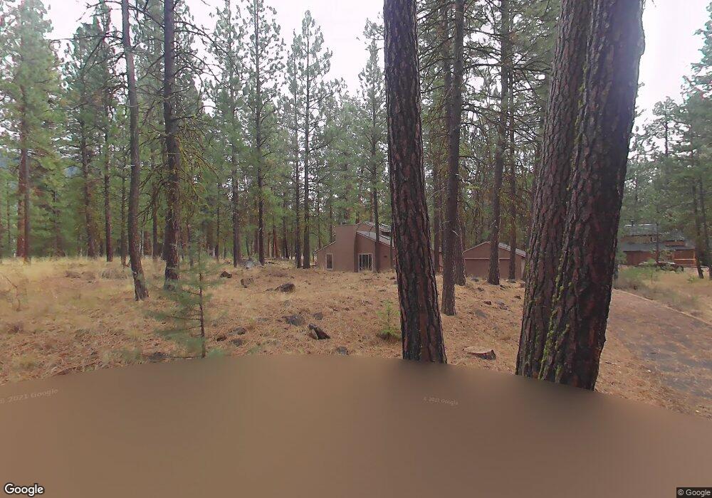
70800 Samphire Unit RR3 Sisters, OR 97759
Estimated Value: $1,046,000 - $1,066,000
3
Beds
2
Baths
2,010
Sq Ft
$526/Sq Ft
Est. Value
About This Home
This home is located at 70800 Samphire Unit RR3, Sisters, OR 97759 and is currently estimated at $1,057,669, approximately $526 per square foot. 70800 Samphire Unit RR3 is a home located in Deschutes County with nearby schools including Sisters Elementary School, Sisters Middle School, and Sisters High School.
Ownership History
Date
Name
Owned For
Owner Type
Purchase Details
Closed on
Aug 4, 2020
Sold by
Huddart James L and James L Huddart Living Trust
Bought by
Nanson David and Nanson Sarah
Current Estimated Value
Home Financials for this Owner
Home Financials are based on the most recent Mortgage that was taken out on this home.
Original Mortgage
$350,000
Outstanding Balance
$311,048
Interest Rate
3.1%
Mortgage Type
New Conventional
Estimated Equity
$746,621
Purchase Details
Closed on
May 8, 2020
Sold by
Nanson Family Llc
Bought by
Nanson David and Nanson Sarah
Purchase Details
Closed on
Jan 14, 2009
Sold by
Huddart James L
Bought by
Nanson Family Llc
Purchase Details
Closed on
Sep 12, 2008
Sold by
Frederick C Krieves Credit Shelter Trust
Bought by
Huddart James L and The James L Huddart Living Trust
Create a Home Valuation Report for This Property
The Home Valuation Report is an in-depth analysis detailing your home's value as well as a comparison with similar homes in the area
Home Values in the Area
Average Home Value in this Area
Purchase History
| Date | Buyer | Sale Price | Title Company |
|---|---|---|---|
| Nanson David | $335,000 | Amerititle | |
| Nanson David | -- | None Available | |
| Nanson Family Llc | $331,000 | Accommodation | |
| Huddart James L | $650,000 | Amerititle |
Source: Public Records
Mortgage History
| Date | Status | Borrower | Loan Amount |
|---|---|---|---|
| Open | Nanson David | $350,000 |
Source: Public Records
Tax History Compared to Growth
Tax History
| Year | Tax Paid | Tax Assessment Tax Assessment Total Assessment is a certain percentage of the fair market value that is determined by local assessors to be the total taxable value of land and additions on the property. | Land | Improvement |
|---|---|---|---|---|
| 2024 | $8,853 | $563,880 | -- | -- |
| 2023 | $8,493 | $547,460 | $0 | $0 |
| 2022 | $7,886 | $516,040 | $0 | $0 |
| 2021 | $7,969 | $501,010 | $0 | $0 |
| 2020 | $7,413 | $501,010 | $0 | $0 |
| 2019 | $7,263 | $486,420 | $0 | $0 |
| 2018 | $6,947 | $472,260 | $0 | $0 |
| 2017 | $6,691 | $458,510 | $0 | $0 |
| 2016 | $6,576 | $445,160 | $0 | $0 |
| 2015 | $6,231 | $432,200 | $0 | $0 |
| 2014 | $5,990 | $419,620 | $0 | $0 |
Source: Public Records
Map
Nearby Homes
- 70755 Ponderosa Ln Unit SM 177
- 13584 Nine Bark
- 13579 Sundew Unit SM34
- 70684 Steeple Bush Unit SM 153
- 70789 Goldenrod Unit SM16
- 70780 Bitter Root
- 70701 Pasque Flower Unit SM94
- 70786 Blazing Star Unit RR 64
- 70686 Buck Brush Unit SM85
- 70661 Steeple Bush Unit SM202
- 70665 Buck Brush Unit SM 89
- 13461 Hawks Beard Unit SH43
- 70474 Alum Root
- 13400 Foxtail Unit GCC 103
- 13400 Foxtail Unit 99
- 13637 Wolfberry Unit GM 142
- 12960 Hawks Beard Unit 63
- 70948 Mules Ear
- 13251 Snowbrush Unit GH 266
- 70340 Sword Fern Gm246
- 70808 Samphire Unit RR2
- 70808 Samphire
- 70772 Ponderosa Unit RR4
- 70772 Ponderosa
- 70772 Ponderosa Rr4
- 70790 Samphire
- 13660 Mountain Clover
- 13654 Mountain Clover Rr 5 1 3 Int
- 13654 Mountain Clover
- 13654 Mountain Clover Rr 5
- 13654 Mountain Clover Rr5
- 13666 Mountain Clover
- 70771 Ponderosa Ln Unit RR44
- 70777 Ponderosa Ln
- 13657 Mountain Clover
- 13657 Mountain Clover
- 13657 Mountain Clover Unit RR 11
- 13672 Mountain Clover
- 13600 Sundew
- 13669 Mountain Clover